Medium
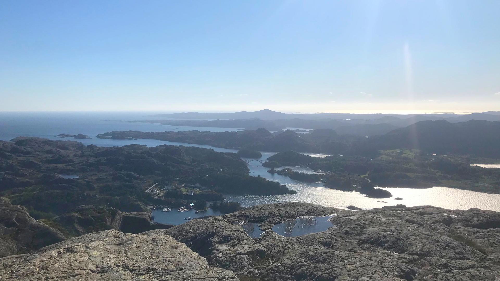
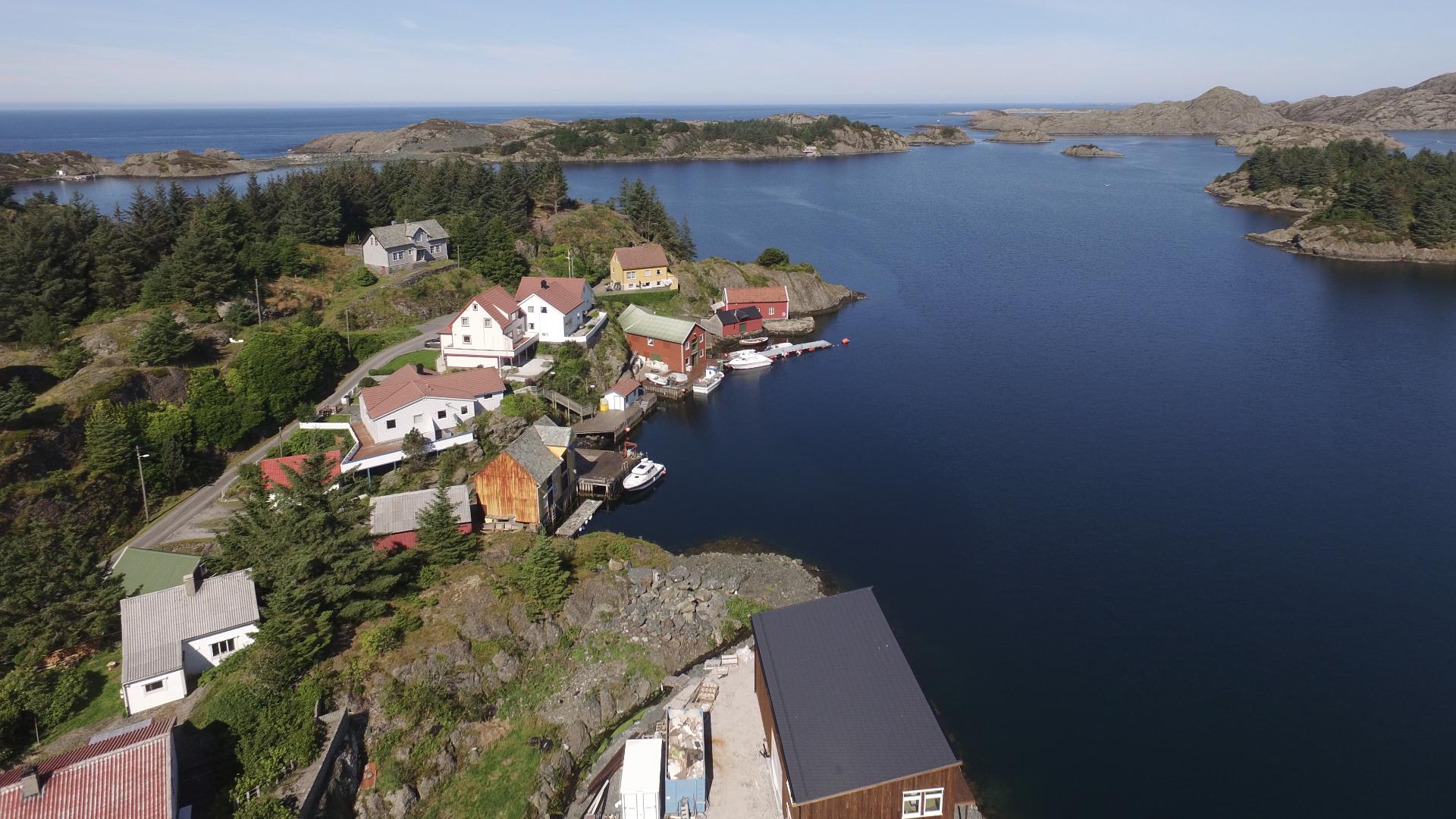
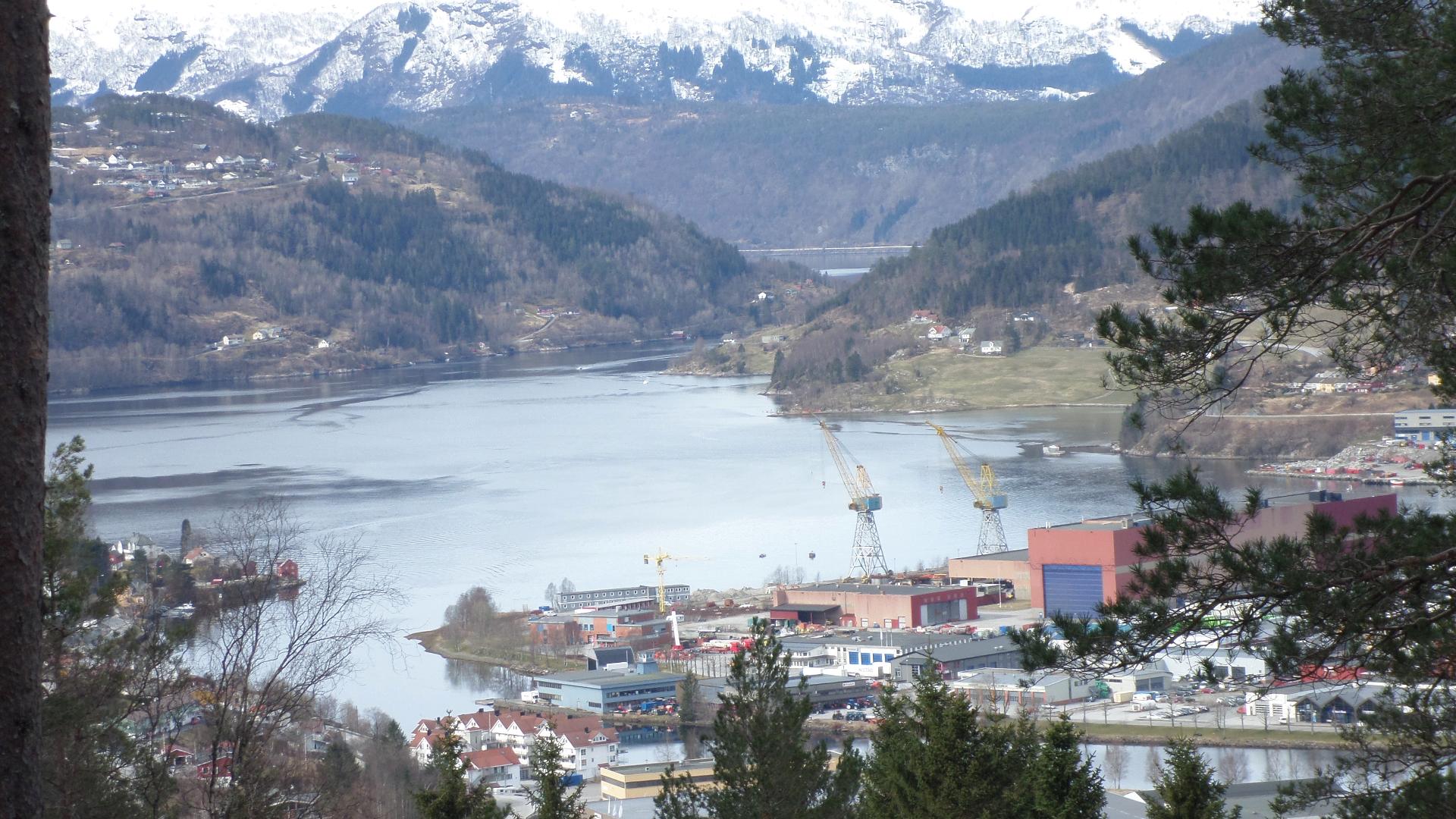
At 541 meters, Pollatinden is the highest point on Sula and in the entire Solund archipelago. Locals call it the Queen of the Archipelago, and when you reach the top, you understand why. The view covers the entire island world, from the inner fjords to the open North Sea.
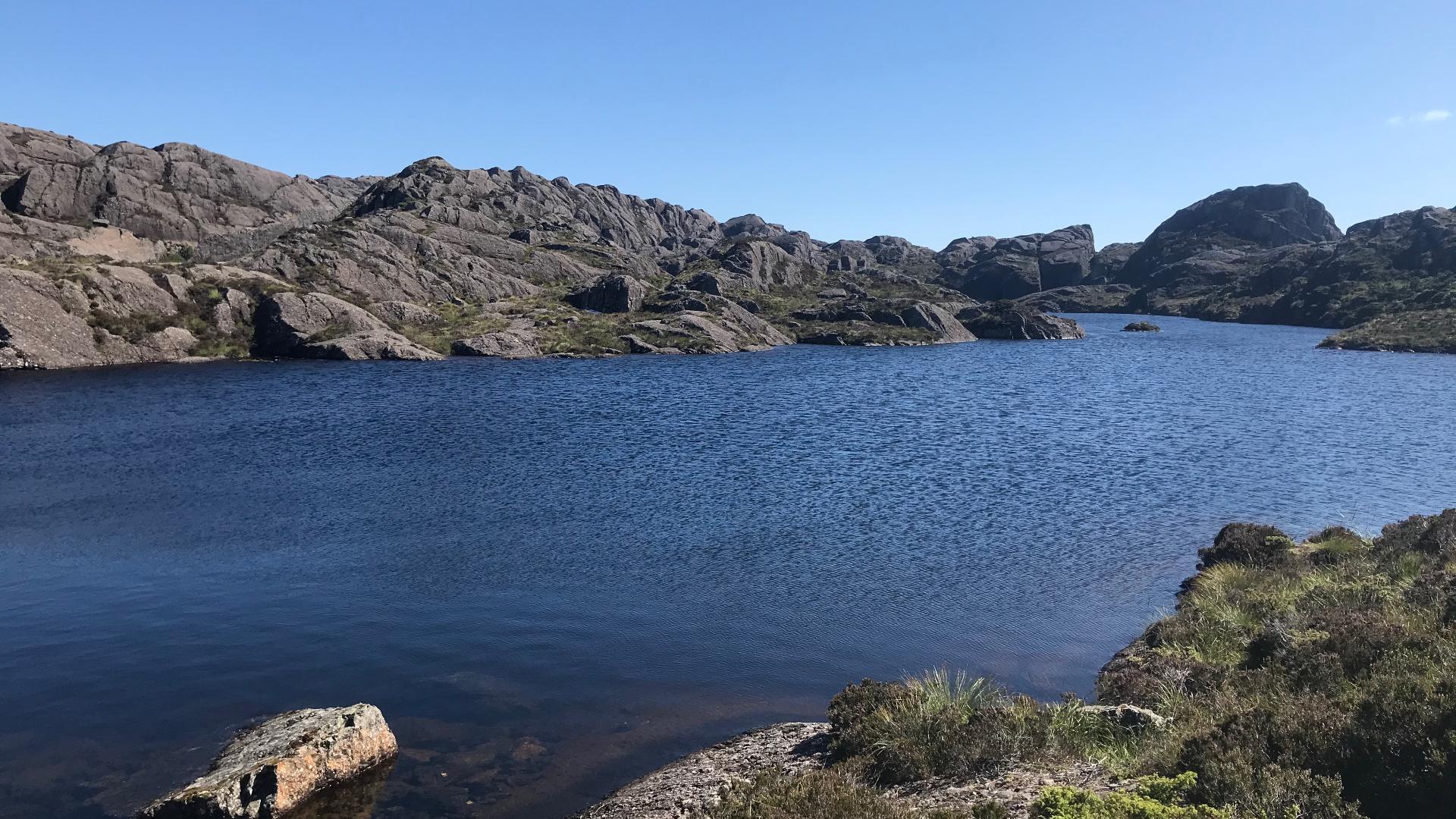
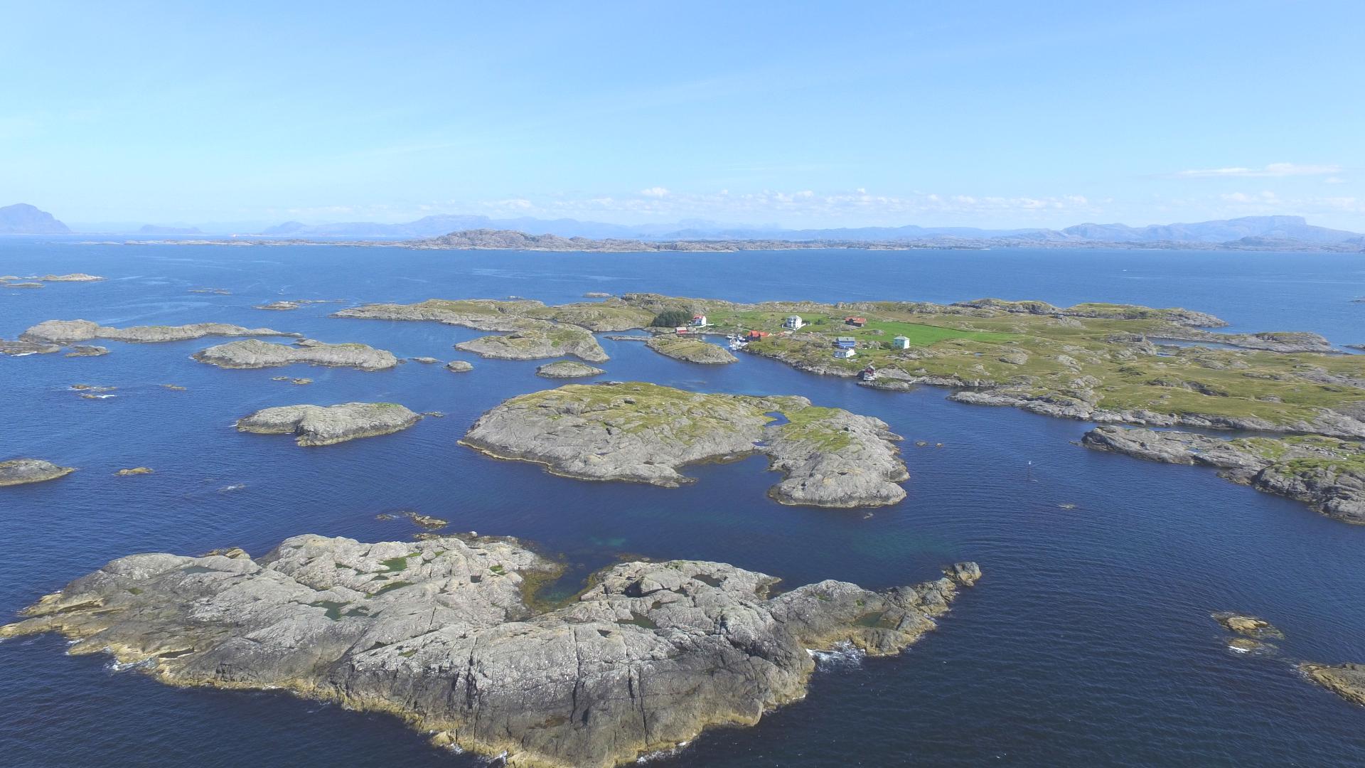
The hike is about 4.3 kilometers round trip and takes roughly two hours. It is not technically difficult, but the terrain is steep in places and the path can be slippery when wet. The reward at the summit is a 360-degree panorama that, on a clear day, reaches all the way to Utvær lighthouse on the horizon.
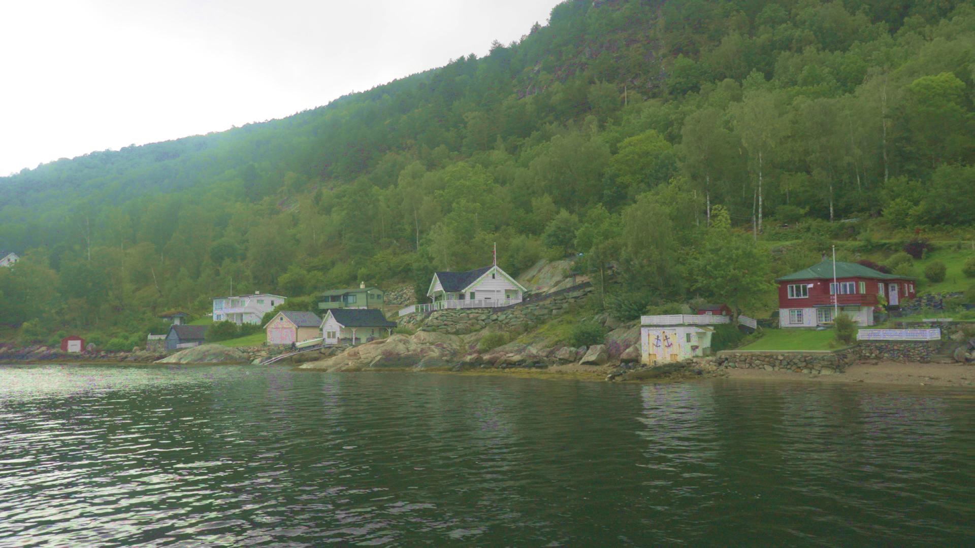
For an island this far out on the coast, having a 541-meter peak is unusual. Most of the surrounding archipelago barely rises above sea level, which makes Pollatinden stand out even more.
The hike is about 4.3 kilometers round trip and takes roughly two hours. It is not technically difficult, but the terrain is steep in places and the path can be slippery when wet. The reward at the summit is a 360-degree panorama that, on a clear day, reaches all the way to Utvær lighthouse on the horizon.
For an island this far out on the coast, having a 541-meter peak is unusual. Most of the surrounding archipelago barely rises above sea level, which makes Pollatinden stand out even more.