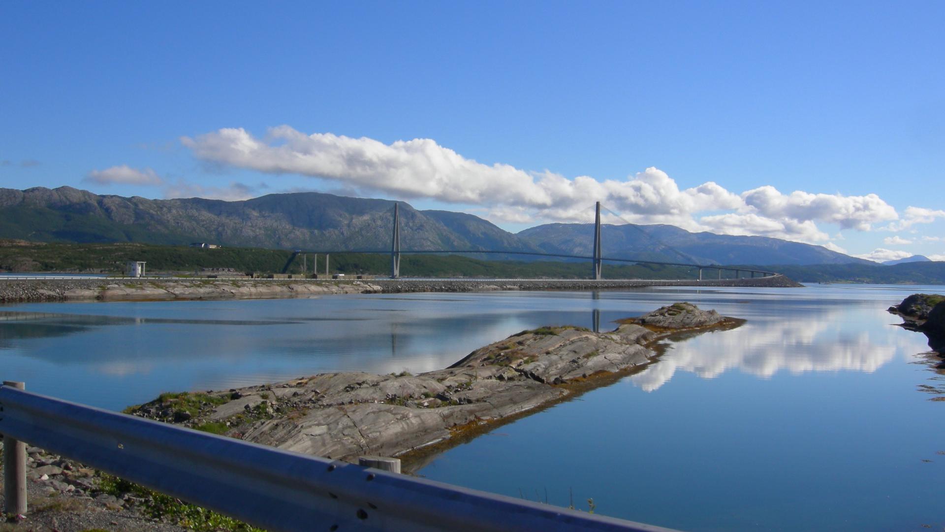
The Helgeland Bridge (Helgelandsbrua) is a cable-stayed bridge crossing Leirfjorden between the mainland in Leirfjord municipality and the island of Alsta, where Sandnessjøen sits on the other side. It is 1,065 metres long with a main span of 425 metres, and when it opened in July 1991 it replaced the ferry that had been the only connection.
The bridge is a natural decision point on the Kystriksveien. From here you can either continue north along Road 17 toward the islands and the Svartisen glacier, or turn east to reach the E6 near Mosjøen. It is one of many bridges and tunnels that have gradually shortened the Kystriksveien since the 1960s, when there were far more ferries than today.
One thing to be aware of: the bridge is exposed to strong winds and is regularly closed during storms. If you are planning to cross in bad weather, check the bridge status online before you go. A closure can mean a long detour or a wait.