 Difficult
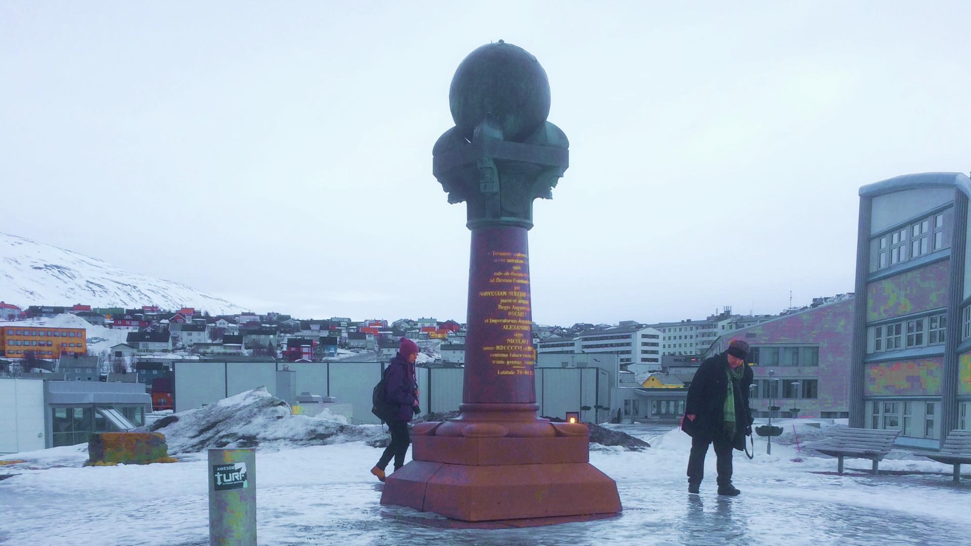
Bealjášvárri, also known as Muvrávarri and recorded in Struve's original documents as "BAELJATZ-VAARA," is UNESCO measurement point number 14 on the Struve Geodetic Arc. It sits at 585 metres, roughly ten kilometres east of Kautokeino centre.
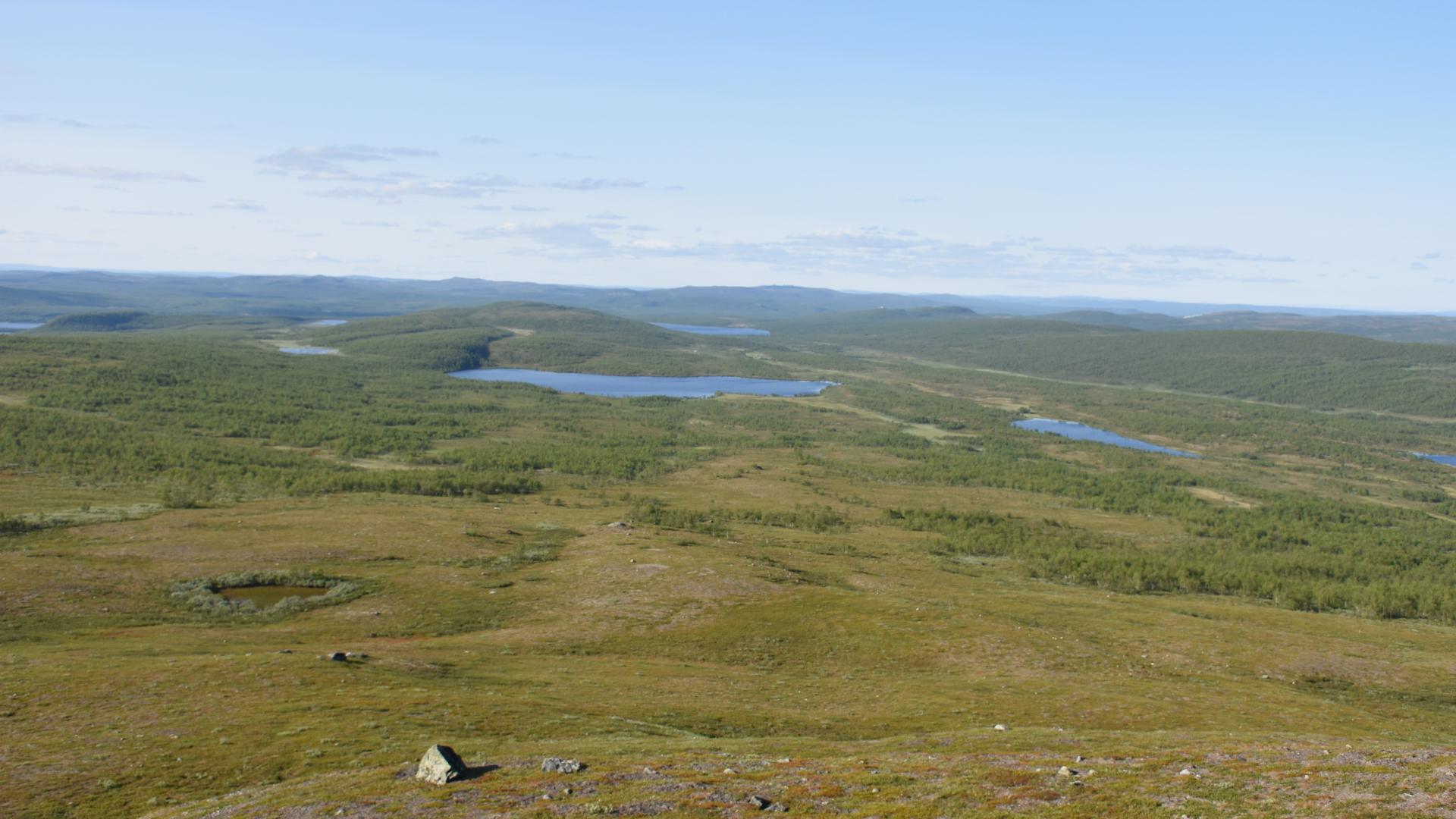
A rock pillar rebuilt in 1896 marks the station point on the summit. The view from the top stretches across the endless Finnmarksvidda plateau, the same landscape that Struve's surveyors used as their triangulation baseline in the 19th century.
The route starts from Kautokeino with an 11-kilometre drive to the village of Ávži, followed by a roughly five-kilometre hike. The path is marked on maps as a snowmobile trail, not a proper hiking route, and in practice it is poorly marked to the point of being nearly invisible in places. The terrain crosses bog that can be extremely wet, and the gently rising landscape means one hill looks very much like the next. Getting lost and accidentally hiking up the wrong hill is almost a rite of passage here.
In summer, the mosquitoes on the open plateau are brutal, and there is no shelter from them or from the weather. GPS, detailed maps, long sleeves, and serious insect protection are all essential. This is not a casual day hike; it is a pilgrimage to a point on the map that most people will never visit, and the difficulty of reaching it is part of what makes the Struve Arc remarkable. These measurements were made across terrain like this, on foot, with 19th-century instruments, across ten countries, over 39 years.