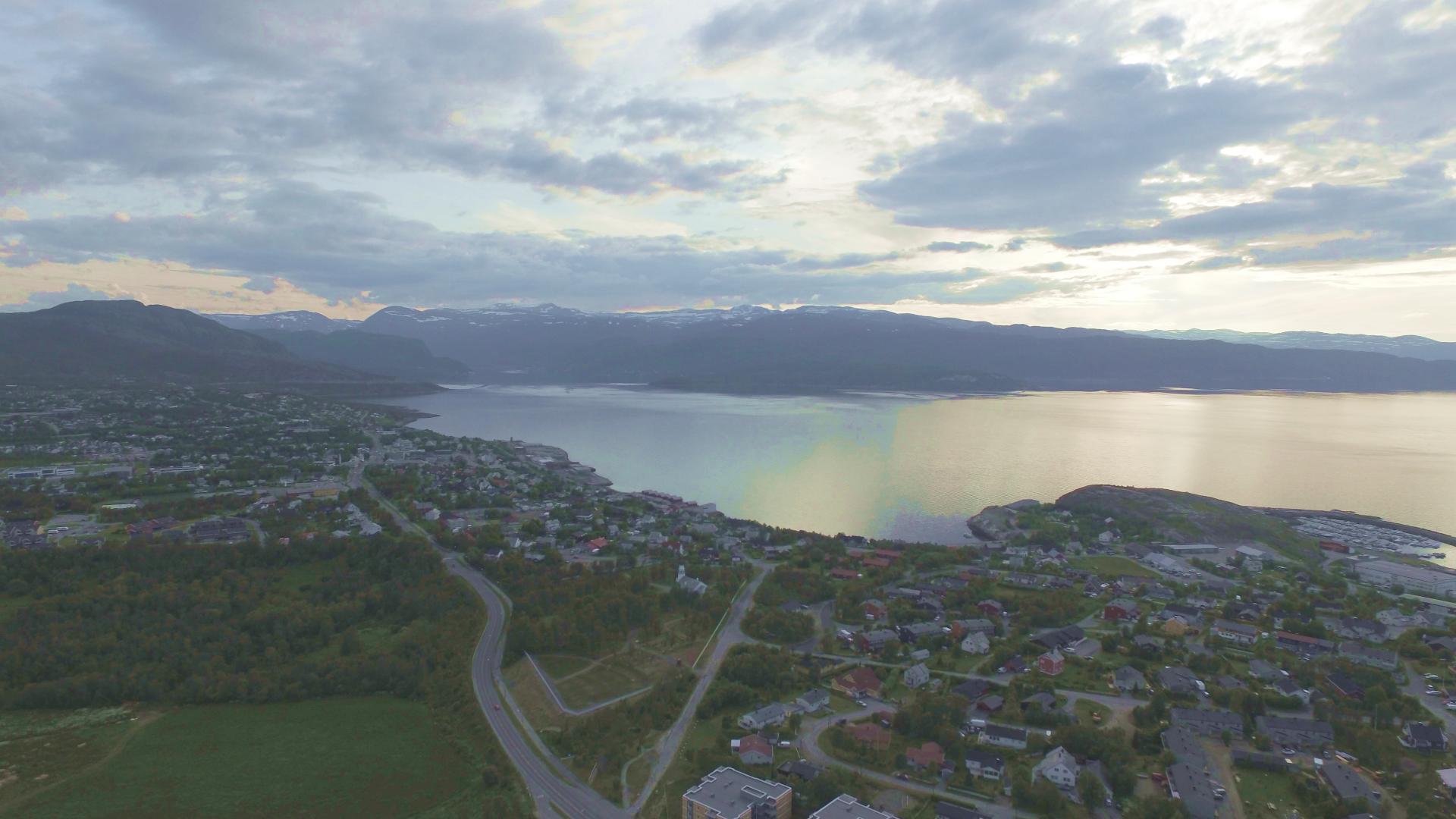
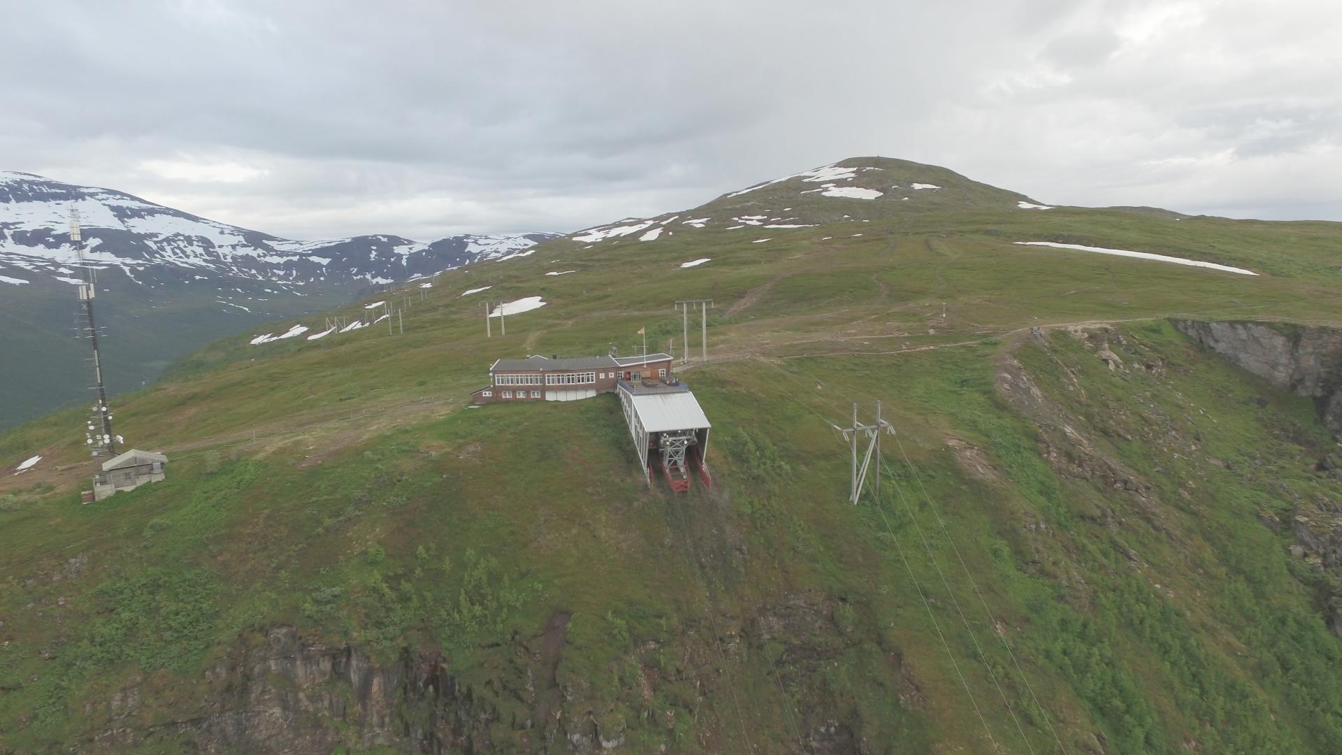
Kvænangsfjellet is the last major mountain pass on the E6 before Alta. The road climbs to 402 meters between Nordreisa and Kvænangen municipalities, crossing an exposed plateau that historically closed 10 to 15 days each winter due to blizzards, forcing a 700-kilometer detour through Finland. During the German occupation, prisoners from the Veidal prison camp built a 6-kilometer wooden tunnel over the most exposed section to keep military supply routes open. The structure was destroyed in the scorched-earth retreat of 1944. In 2024, two modern tunnels finally solved the problem permanently, creating a reliable all-weather route while keeping the old mountain road as a scenic summer alternative. The views from the old road are worth the detour in clear weather. Storbukttind (1,054 meters) rises just west of the route, and the panorama stretches across fjords and Arctic tundra. In summer, Sami reindeer herders move their animals through the pass.
🚗 Road
Troms
Mountain
Kvænangsfjellet
Open in map
30 minutes
⛅ Weather dependent
Get the free Xplore Norway app
Hear every place narrated automatically as you drive, with offline maps for all of Norway.
- Automatic GPS audio guide
- Offline maps for all of Norway
- Free to download
1596 places across Norway