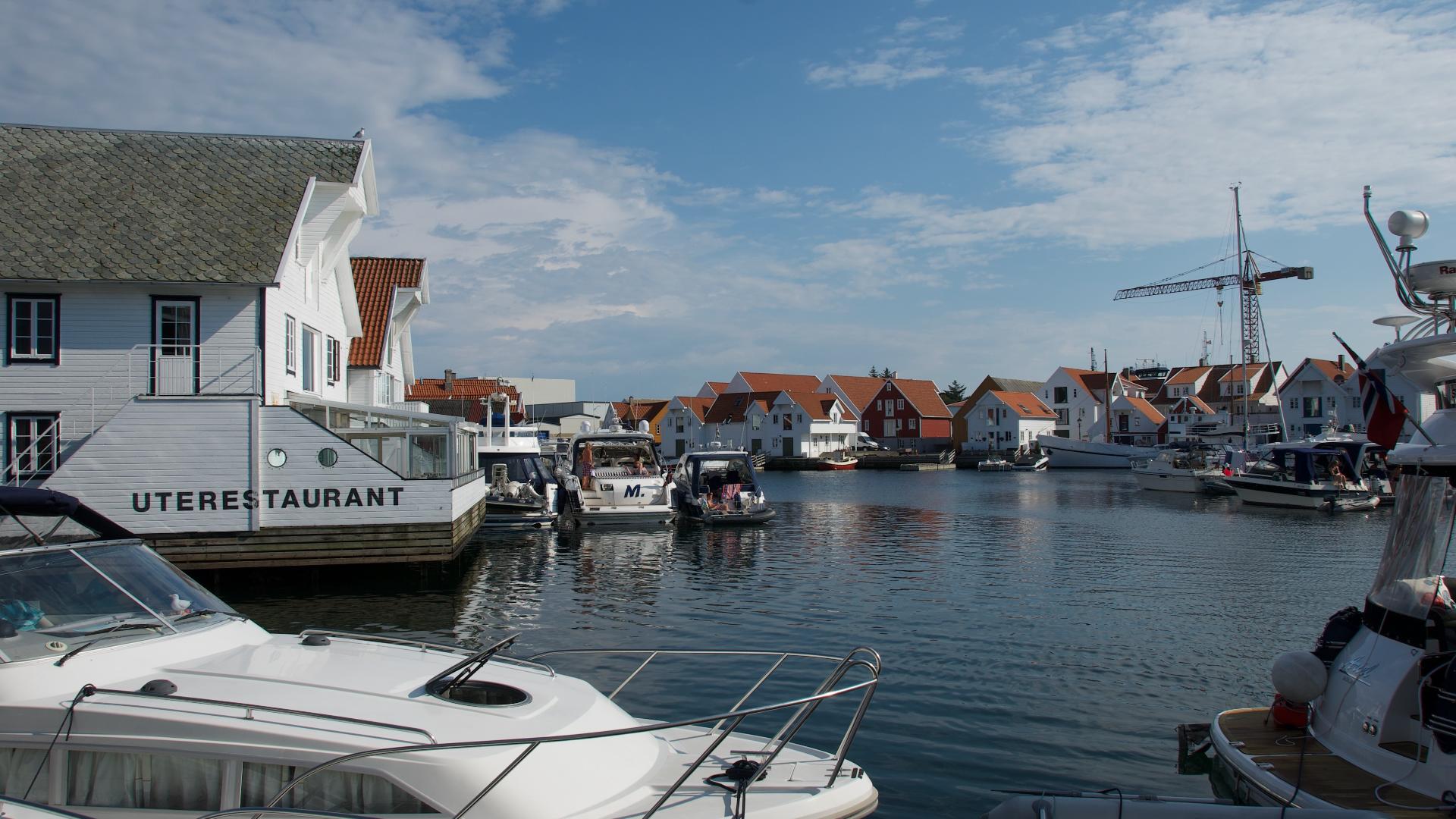
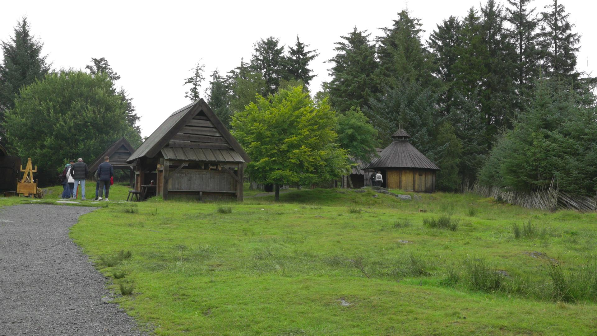
The small island of Bokn, which most drivers pass through without stopping on the E39, has a surprisingly dense concentration of prehistoric remains. Standing stones, house foundations, and burial sites from the Stone Age and Bronze Age are scattered across the island, evidence that this was an important settlement area for thousands of years. The island's position in the Boknafjorden made it a natural hub for coastal communities who lived by fishing and trade along the sheltered waterways between the outer islands and the mainland.
The prehistoric remains include several bautasteiner (standing stones) and cleared house foundations that are still visible in the landscape. Some of the finds connect to the distinctive phallus stone tradition found around Boknafjorden, with the majority of Norway's approximately 80 documented examples concentrated in this region.
The island also carries traces of a very different era. At Klepp, near Loden, the remains of a German fortress from the Second World War are still accessible on foot or by bicycle. The Klepp installation was part of the defensive system that, together with Fjøløy fort to the south and fortifications at Skudeneshavn to the west, blocked both the entrance to Boknafjorden and Karmsundet. Remains of bunkers, ammunition storage, communication trenches, gun positions, and barracks foundations can still be traced in the terrain.