Tronfjellet rises 1,665 metres above sea level on the border between Alvdal and Tynset. What makes it unusual is access: a toll road climbs all the way to the summit plateau, making it the second highest public road in Norway. The road was originally built in the 1960s for installing a broadcasting antenna, and on clear days the views stretch across seven historic parishes and a vast mountain landscape.
For those who prefer to walk, a 4.5-kilometre marked trail leads from Tronsvangen Seter to the top, taking roughly six hours for the round trip. The mountain is also interesting for its plant life, with several nature trails highlighting the alpine botany.
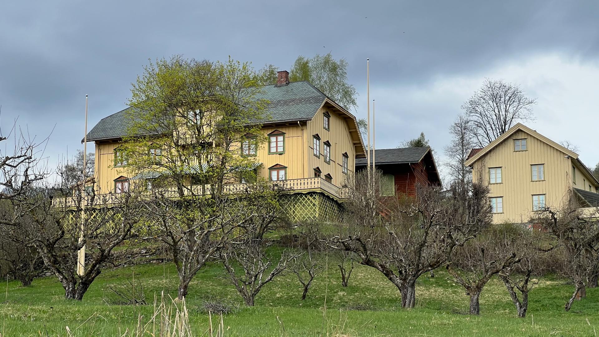
But the most unexpected story on Tronfjellet lies just below the summit. Here you will find the grave of Swami Sri Ananda Acharya, an Indian philosopher who came to Norway in 1917 and settled at Tronsvangen. He lived there until his death in 1945, writing, teaching and becoming part of the local community. He is considered the first Hindu to permanently settle in Norway, and his grave on the mountainside is one of the most unlikely burial sites in the country.
For those who prefer to walk, a 4.5-kilometre marked trail leads from Tronsvangen Seter to the top, taking roughly six hours for the round trip. The mountain is also interesting for its plant life, with several nature trails highlighting the alpine botany.
But the most unexpected story on Tronfjellet lies just below the summit. Here you will find the grave of Swami Sri Ananda Acharya, an Indian philosopher who came to Norway in 1917 and settled at Tronsvangen. He lived there until his death in 1945, writing, teaching and becoming part of the local community. He is considered the first Hindu to permanently settle in Norway, and his grave on the mountainside is one of the most unlikely burial sites in the country.