Trofors sits at the meeting point of three rivers. The Austervefsna and Svenningdalselva merge here to form the Vefsna, which was once ranked as Norway's fourth-best salmon river, with annual catches reaching four tons in the 1880s. That legacy nearly ended when the parasite Gyrodactylus salaris devastated the salmon population. A massive chemical treatment of the entire river system in 2011 and 2012 aimed to eradicate the parasite, and the river is slowly recovering. The rivers also make Trofors one of the few whitewater rafting bases in northern Norway.
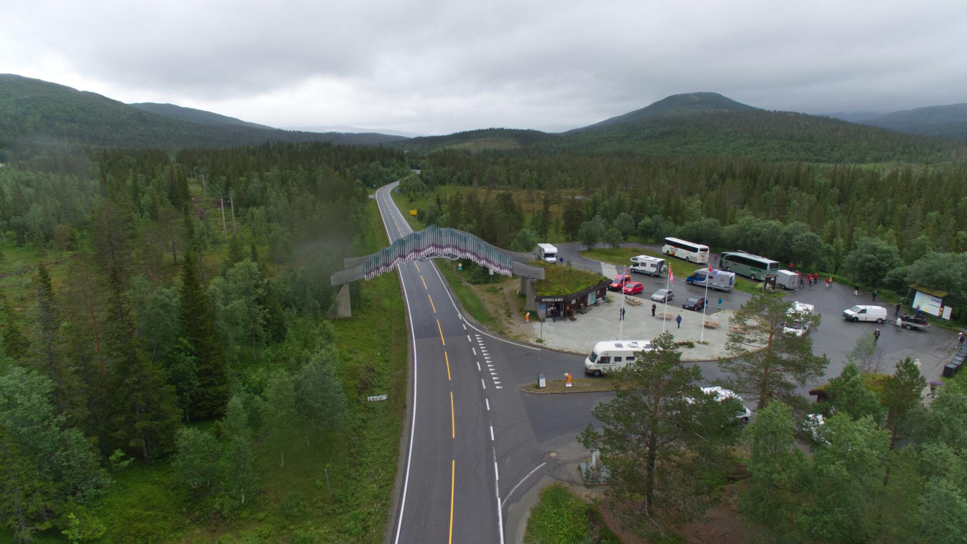
Archaeological hunting pits at Tromoan nearby, dating to around 600-700 AD, show that people have gathered at this river junction for well over a thousand years. As the administrative center of Grane municipality, Trofors is a crossroads on the E6. Road 73 branches east from here toward Hattfjelldal and onward into Sweden. Two national parks border the municipality: Børgefjell to the east and Lomsdal-Visten to the west, making Trofors a practical base for wilderness expeditions into some of Helgeland's least-visited landscapes.