 Very Easy
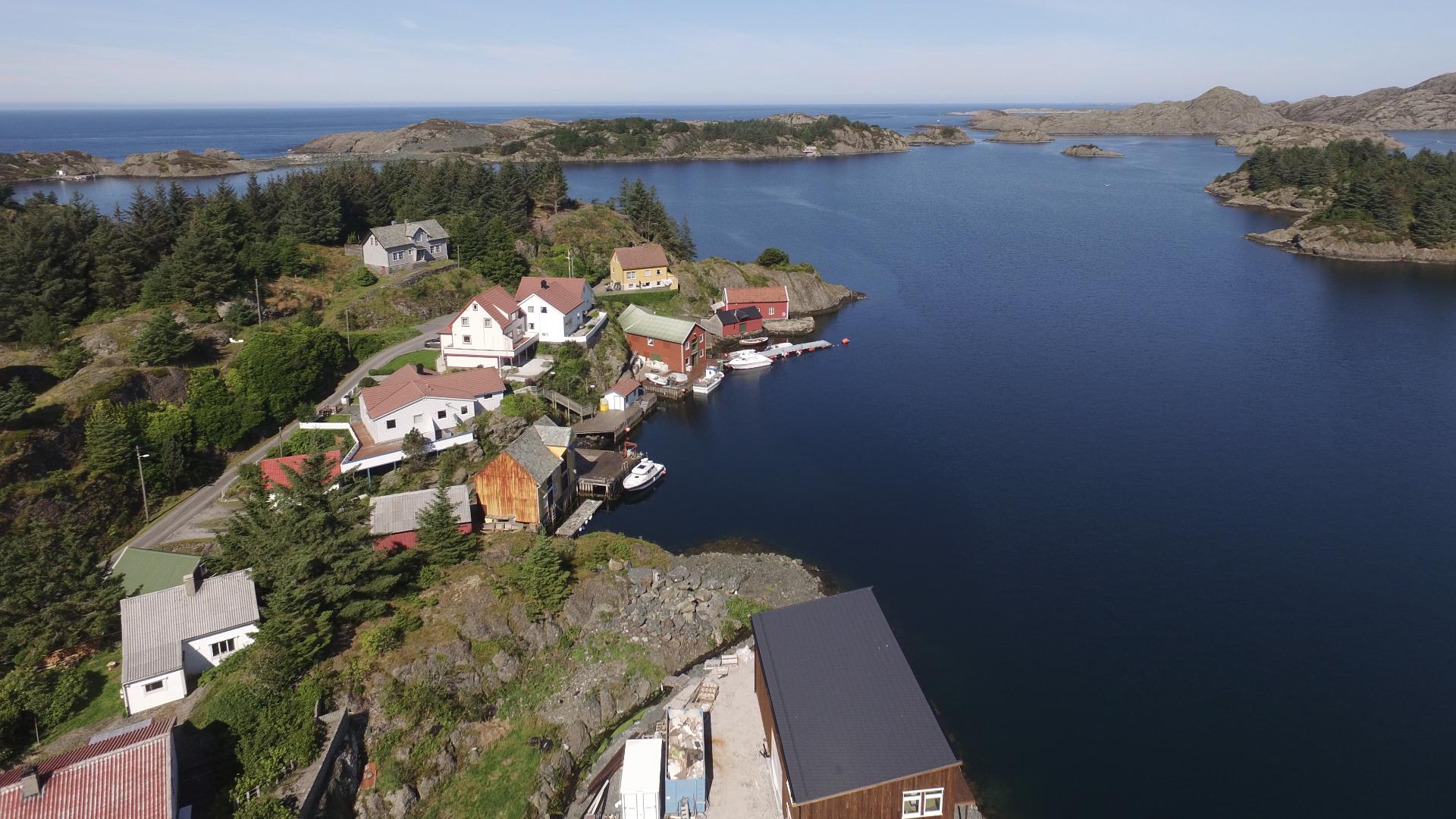
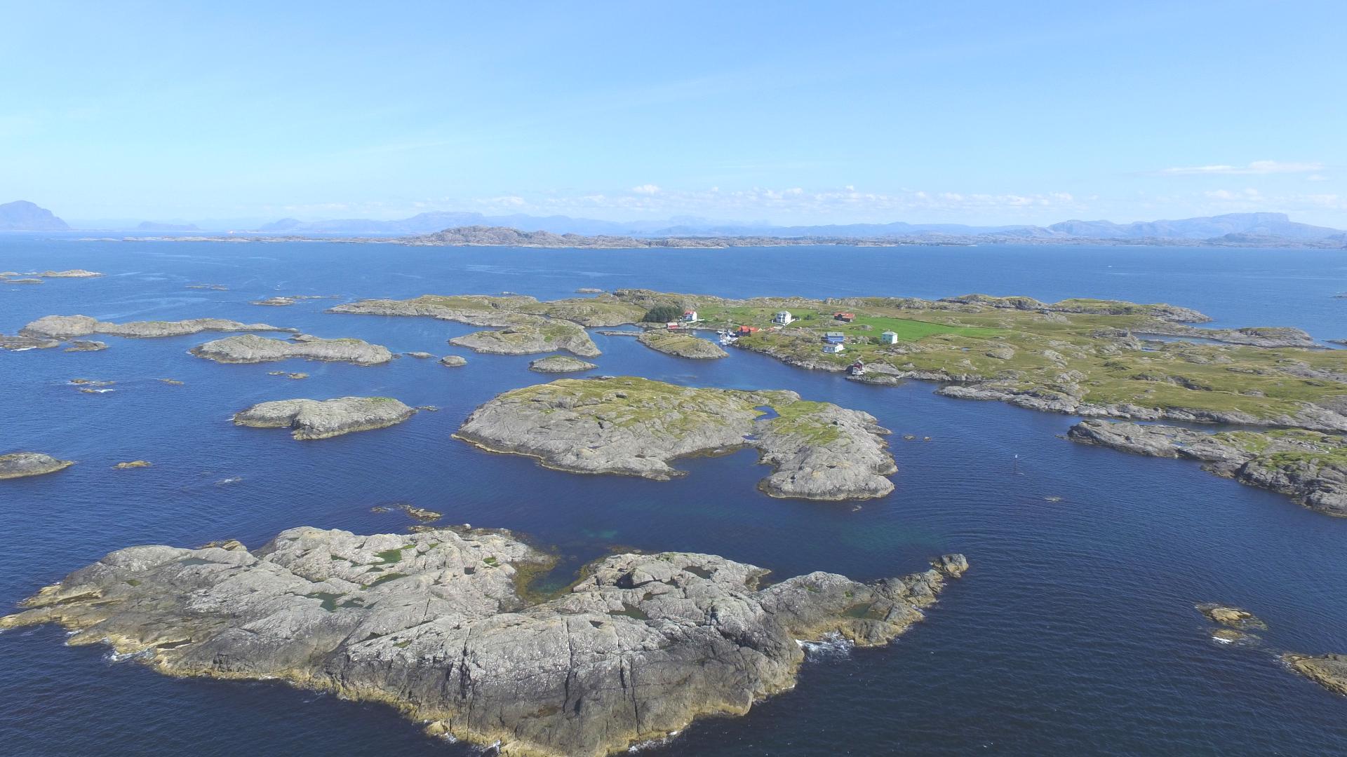
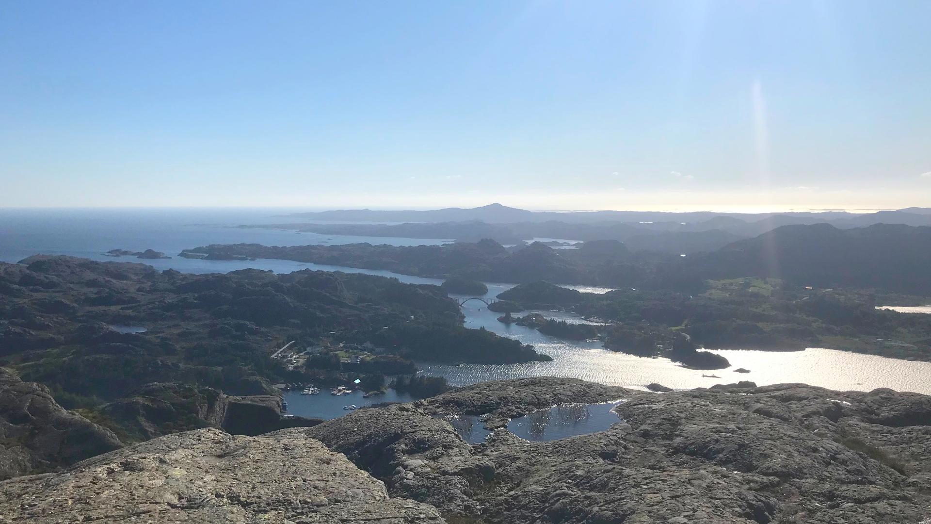
The 232-metre Ramnenipa right behind Hardbakke is the easiest way to understand where you are. From the top, the entire Solund archipelago spreads out below you: thousands of islands stretching towards the open Atlantic, with Utvær, Norway's westernmost point, visible on a clear day.
The trail starts by the football field in Hardbakke. Walk up through the residential area to a gravel road, turn left along the field, and follow the marked path to the summit. The southern approach is gentle and well suited for families. The northern side is steep; if you do the round tour, expect some scrambling on that stretch.
Allow about 1.5 hours for the round trip. On a clear day this is the single best thing you can do in Hardbakke. On a cloudy day, the coastal atmosphere is worth the walk anyway.