Difficult
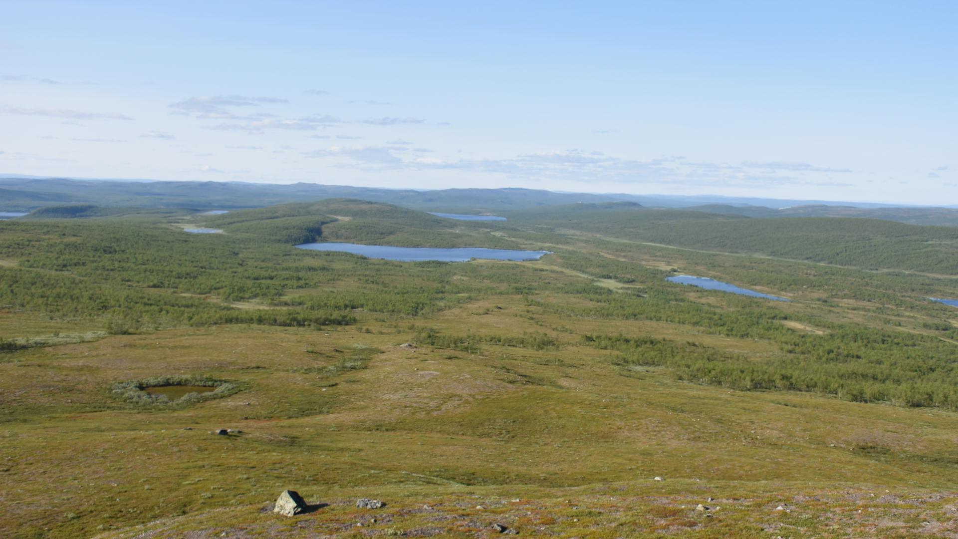
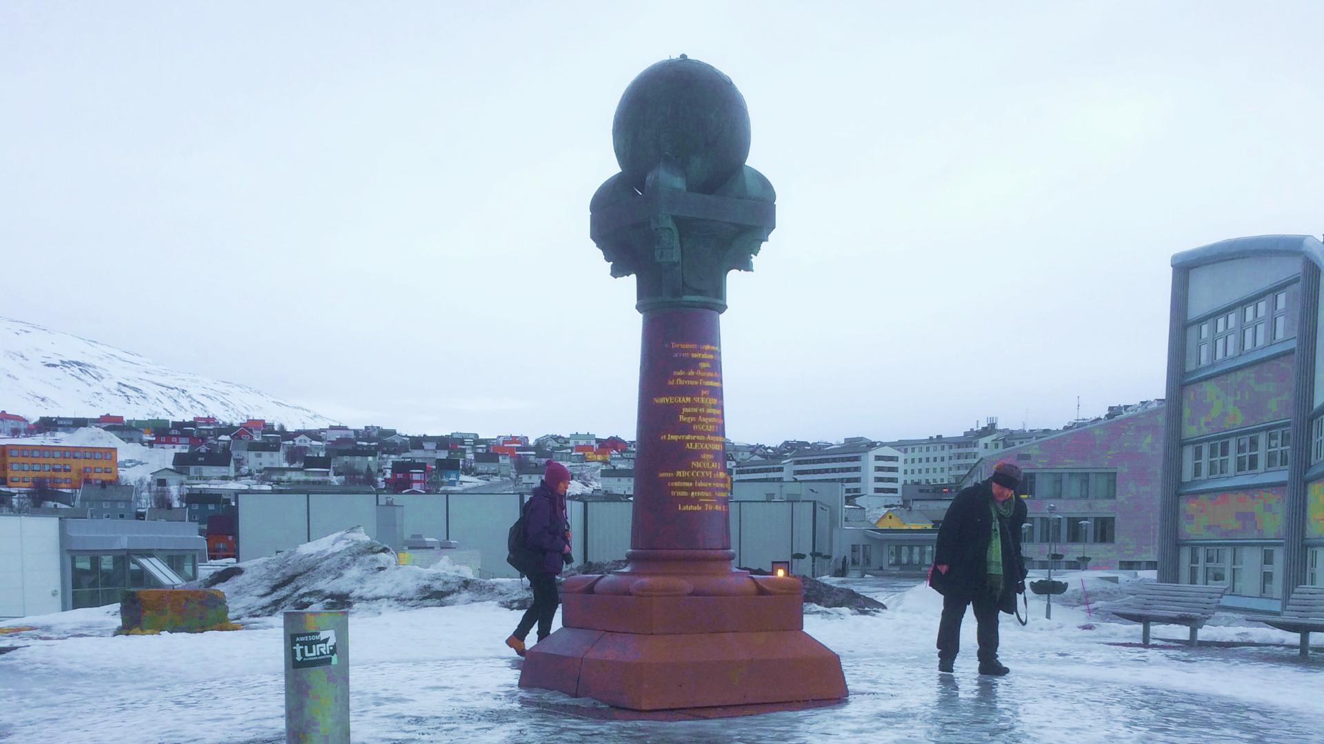
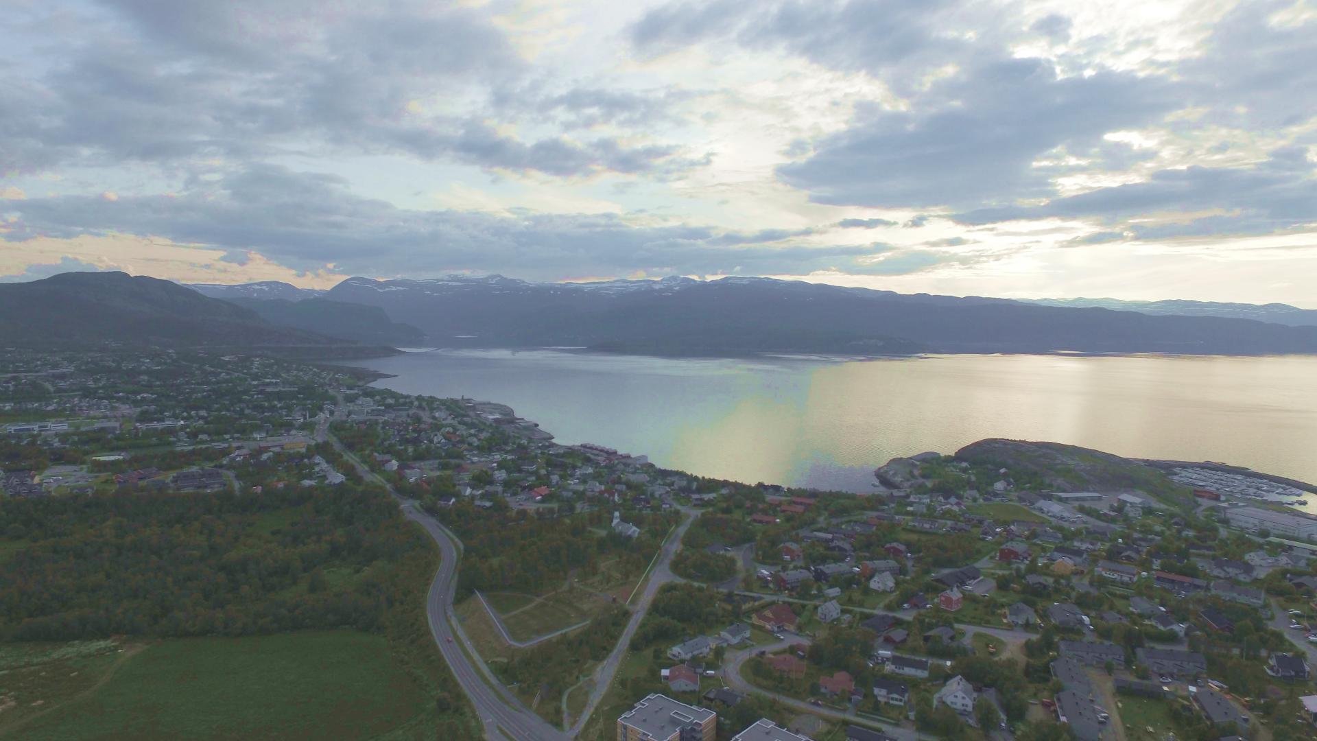
Luvddiidčohkka, also known as Lodiken, is one of four Norwegian measurement points on the Struve Geodetic Arc, the 2,820-kilometre chain of survey triangulations from Hammerfest to the Black Sea that earned UNESCO World Heritage status. This is point number 10 in the chain, sitting at 639 metres on a summit south of Kautokeino.
Between 1816 and 1855, astronomer Friedrich Georg Wilhelm Struve used stations like this one to make the first accurate measurement of the Earth's size and shape. The point was remeasured repeatedly over the following century, most recently in 1978 when a concrete pillar was built about 20 metres from the original station marker.
Getting here is the challenge. From the E45 south of Kautokeino, a gravel road heads north, but it may be too rough for a normal car. From the closest point, marked by a red cabin on the right side of the road, it is roughly three kilometres on foot along a path to the summit. The terrain is open Finnmarksvidda plateau, exposed and featureless, with trail markers that can be hard to follow. Navigation skills and a GPS are strongly recommended.
This is one of the more challenging of Norway's four Struve points to visit. The Hammerfest monument is a pleasant waterfront walk. Lille-Raipas near Alta requires a mountain hike. But Luvddiidčohkka and its sister point Bealjášvárri demand commitment, preparation, and a high tolerance for mosquitoes, which are legendary on the plateau in summer.