Easy
Easy
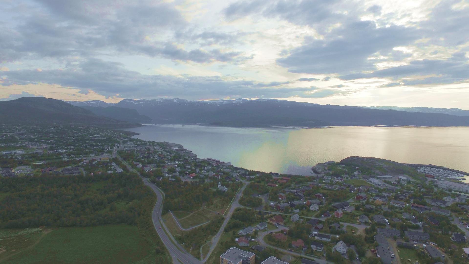
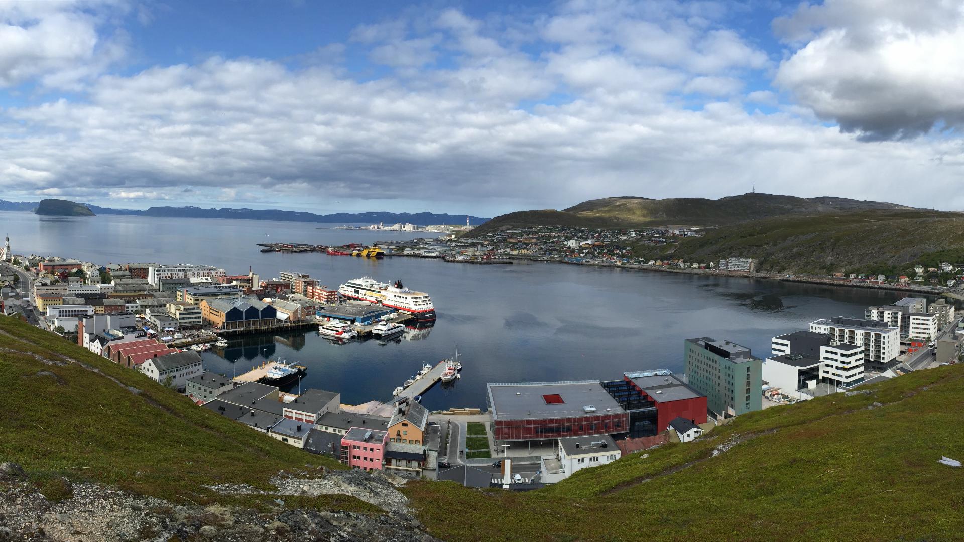
Lille-Raipas is the most accessible of Norway's four UNESCO-listed Struve Geodetic Arc measurement points. At just 286 metres, the summit sits five kilometres south of Alta and offers panoramic views over the city, the Altafjord, and the surrounding mountains. On a clear day you can see the sightlines that Struve's surveyors used to connect this station to Store Raipas, Skoddevarre, and Komsa.
The round trip is about 5.2 kilometres with 215 metres of elevation gain, roughly two hours of walking. From Alta, take the E45 towards Kautokeino for about four kilometres. Just past the Sami Siida on the right, a sign points left to "Struves Meridianbue." Cross the bridge over the Alta river and follow the gravel road to a car park. From there, a broad track climbs through birch forest toward the summit.
Halfway up, the trail passes the old Raipas copper mine, which operated from 1836 to 1869 although copper was first discovered here as early as 1685. The open ground is still scattered with green-stained rocks, and a wooden cross warns of deep mine shafts. Keep to the path.
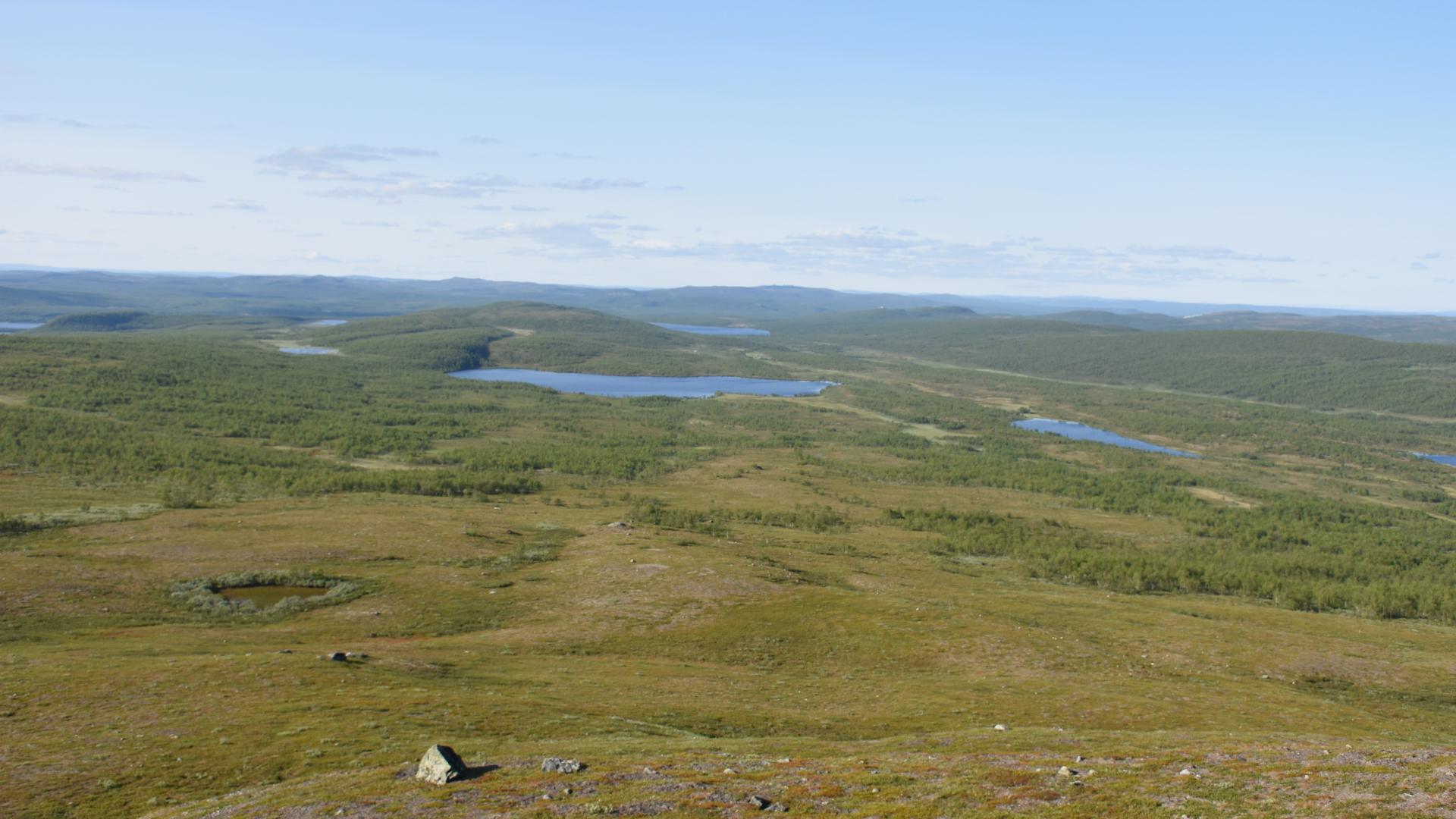
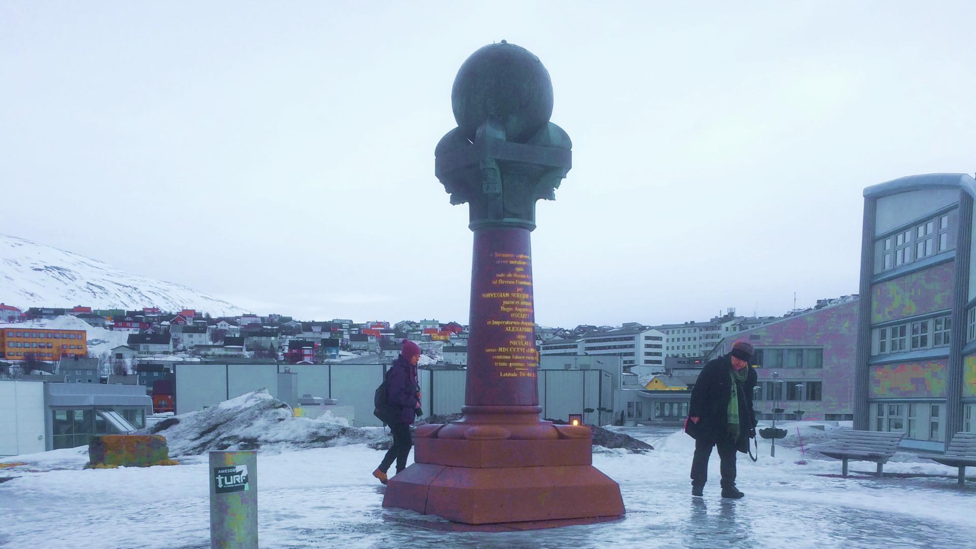
At the top, an iron marker has replaced the original cairn that Struve's team built. This was a station in the extension network for the Alta baseline, listed as UNESCO World Heritage Site No. 2 and recorded in Struve's documents as "LILLE-REIPAS." Compared to its sister points, Luvddiidčohkka and Bealjášvárri near Kautokeino, which require GPS navigation across featureless plateau, this hike is a pleasant afternoon walk with a UNESCO World Heritage monument at the end of it.
The round trip is about 5.2 kilometres with 215 metres of elevation gain, roughly two hours of walking. From Alta, take the E45 towards Kautokeino for about four kilometres. Just past the Sami Siida on the right, a sign points left to "Struves Meridianbue." Cross the bridge over the Alta river and follow the gravel road to a car park. From there, a broad track climbs through birch forest toward the summit.
Halfway up, the trail passes the old Raipas copper mine, which operated from 1836 to 1869 although copper was first discovered here as early as 1685. The open ground is still scattered with green-stained rocks, and a wooden cross warns of deep mine shafts. Keep to the path.
At the top, an iron marker has replaced the original cairn that Struve's team built. This was a station in the extension network for the Alta baseline, listed as UNESCO World Heritage Site No. 2 and recorded in Struve's documents as "LILLE-REIPAS." Compared to its sister points, Luvddiidčohkka and Bealjášvárri near Kautokeino, which require GPS navigation across featureless plateau, this hike is a pleasant afternoon walk with a UNESCO World Heritage monument at the end of it.