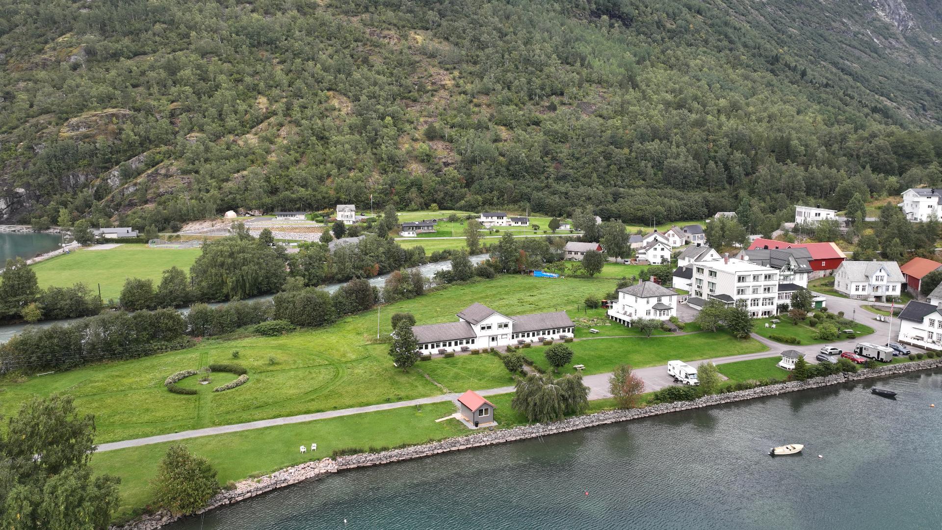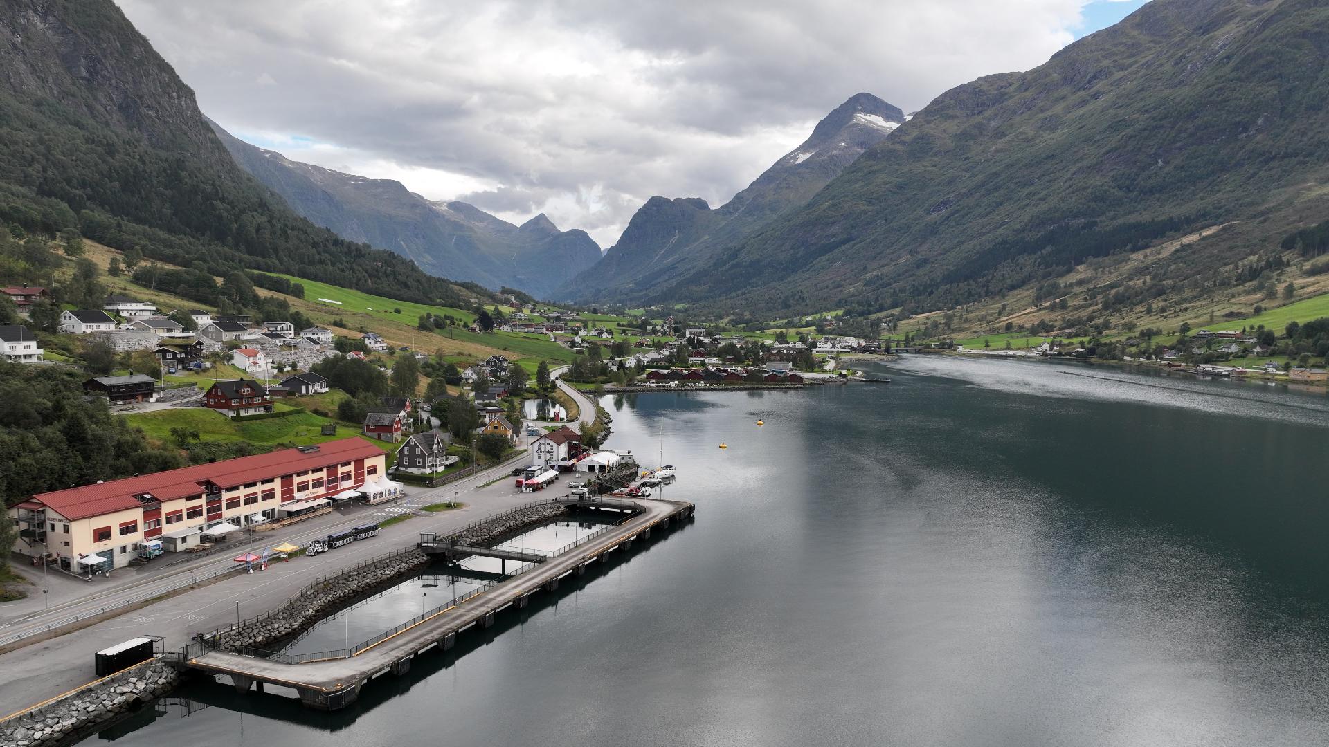
 Easy
Easy
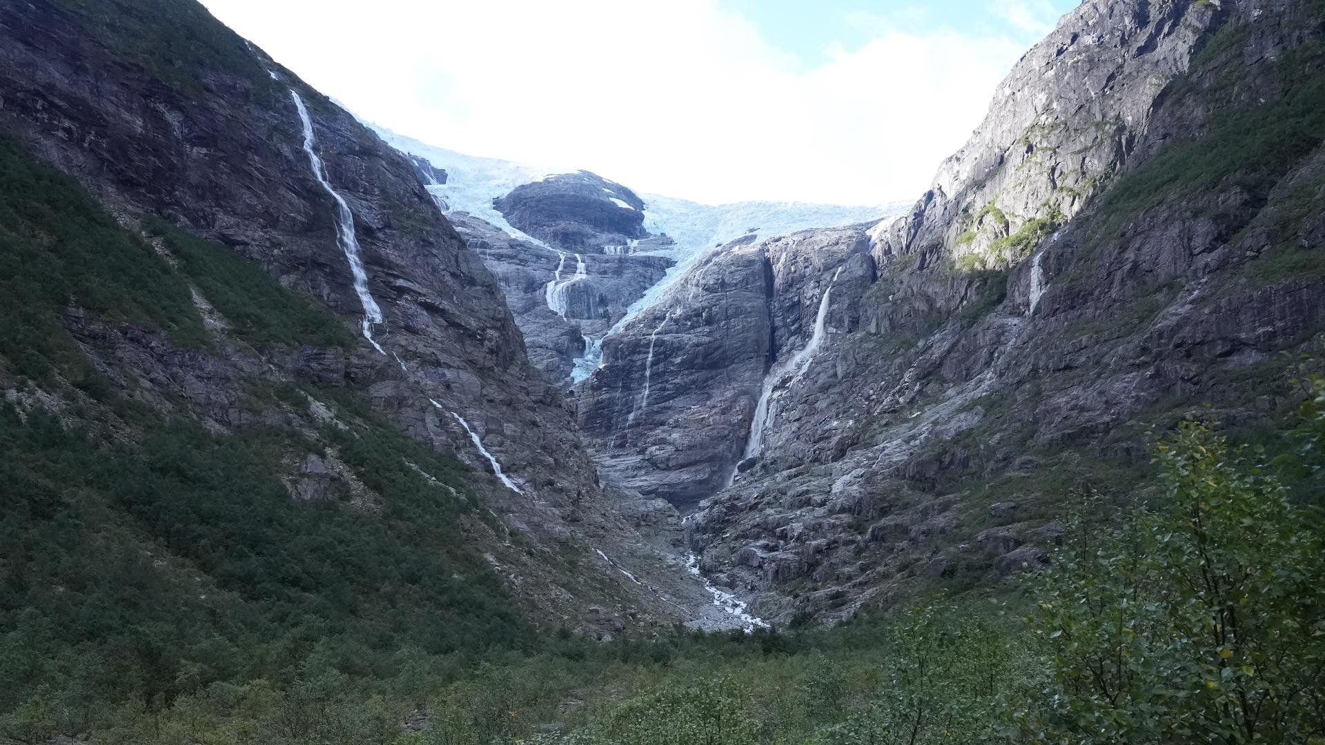
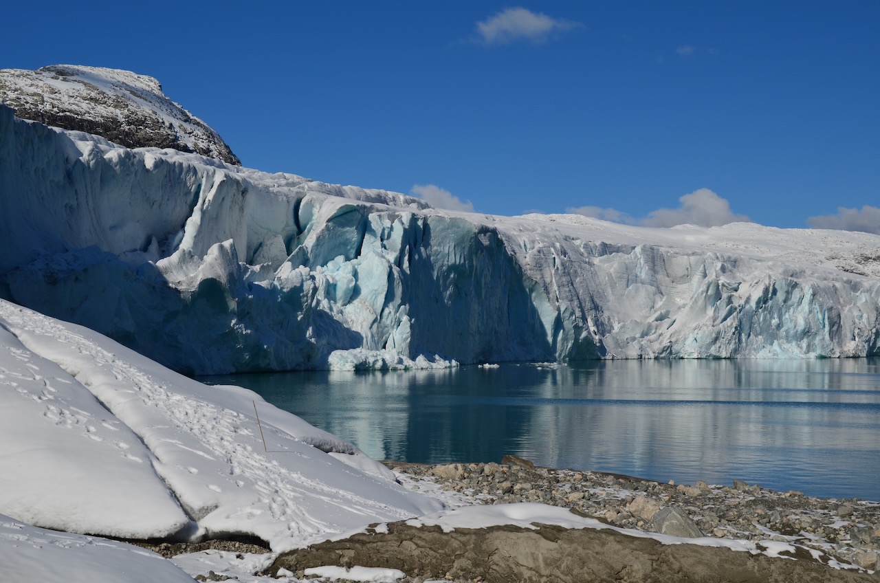
Austdalsbreen is one of about fifty glacier arms flowing off Jostedalsbreen, the largest glacier on mainland Europe. What makes this one special is that it ends in a lake and actually calves icebergs. That is something you normally only see in Svalbard or Greenland.
The lake, Styggevatnet, sits 1,200 metres above sea level. When the hydropower dam was completed in 1989, the water level rose by forty metres. That accelerated the glacier's retreat considerably. Since then, the glacier front has pulled back about 750 metres, but it is still impressive: nearly a kilometre wide and about thirty metres high. In summer, chunks of ice break off regularly. You will hear it before you see it.
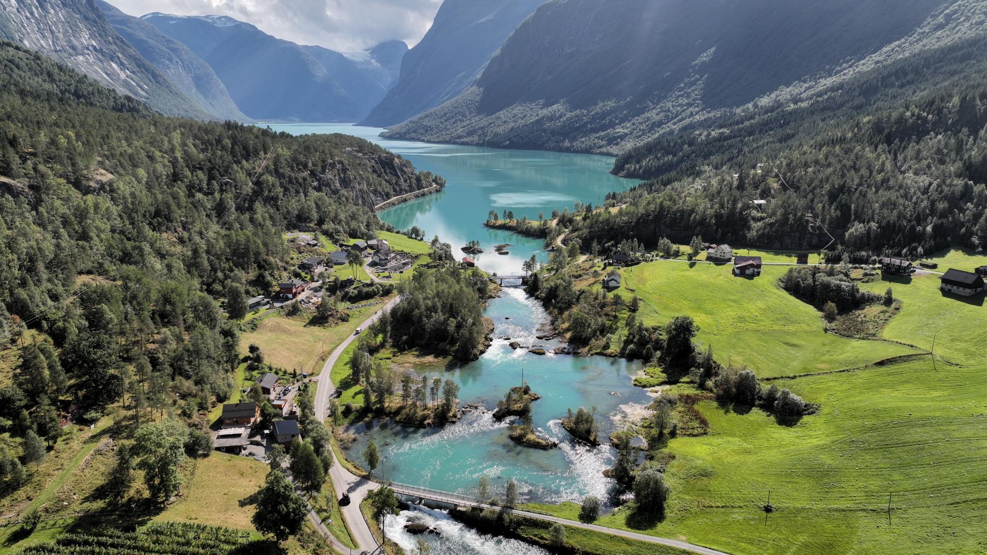
To get here, you can kayak across the lake from the dam. The paddle takes about ninety minutes each way. The company IceTroll runs guided tours that combine kayaking with a crampon walk on the glacier. For children, motorboat transport is also available. The season runs from July to October. Before that, the lake is still frozen. Tours depart from Breheimsenteret in Jostedalen.
The lake, Styggevatnet, sits 1,200 metres above sea level. When the hydropower dam was completed in 1989, the water level rose by forty metres. That accelerated the glacier's retreat considerably. Since then, the glacier front has pulled back about 750 metres, but it is still impressive: nearly a kilometre wide and about thirty metres high. In summer, chunks of ice break off regularly. You will hear it before you see it.
To get here, you can kayak across the lake from the dam. The paddle takes about ninety minutes each way. The company IceTroll runs guided tours that combine kayaking with a crampon walk on the glacier. For children, motorboat transport is also available. The season runs from July to October. Before that, the lake is still frozen. Tours depart from Breheimsenteret in Jostedalen.