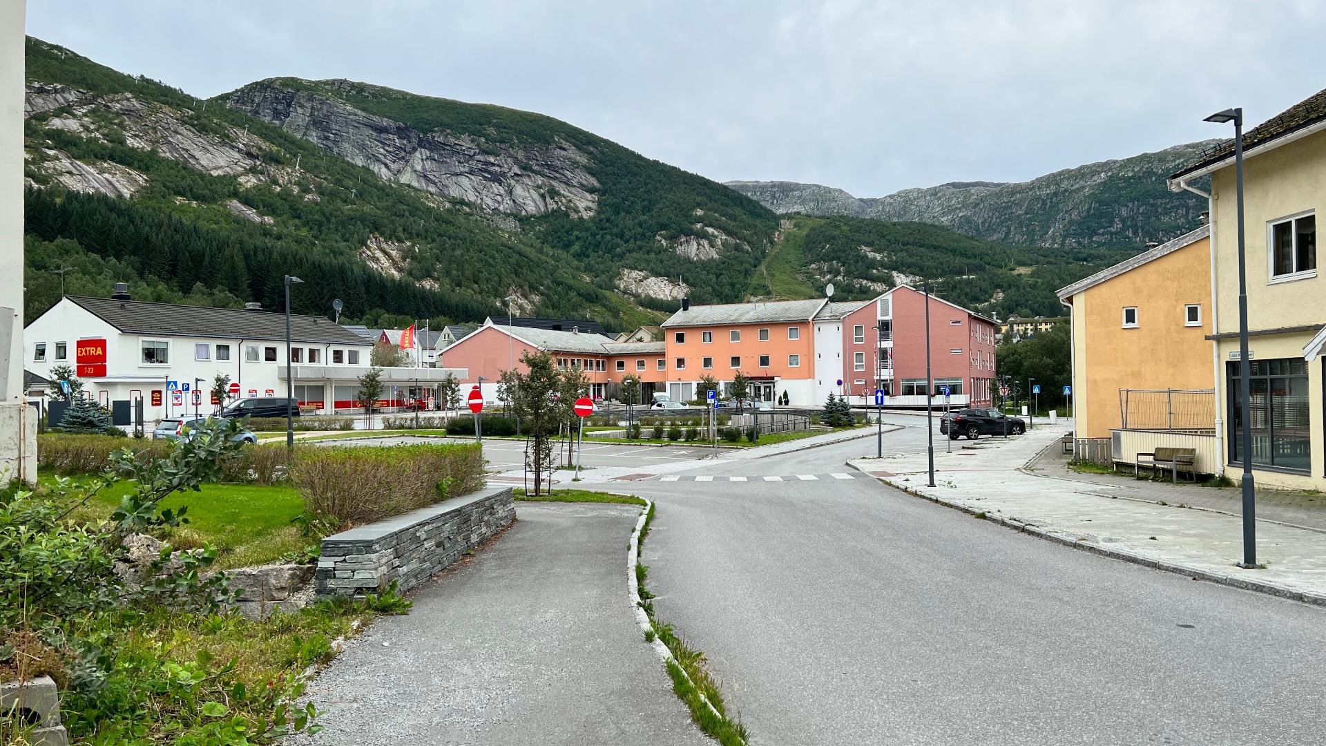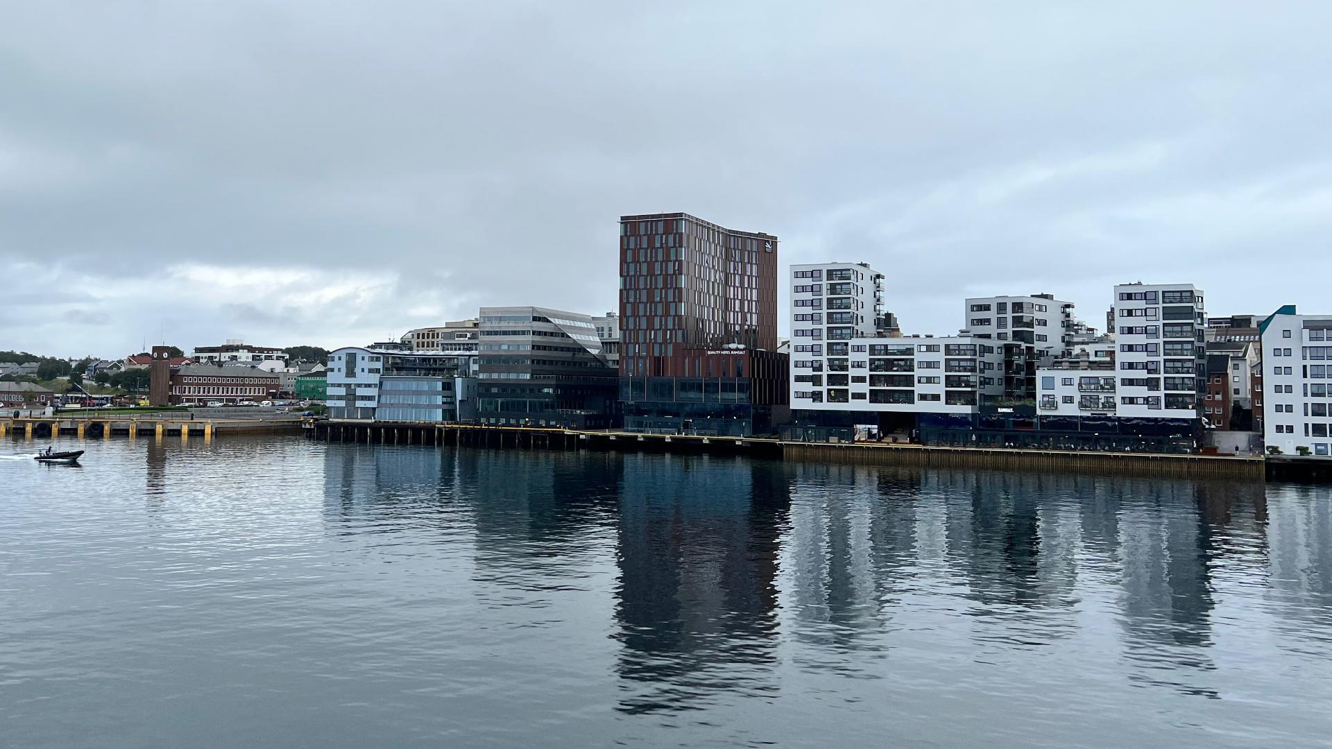
Before 1937, there was no road across Saltfjellet. To get between southern and northern Norway by land, you followed the telegraph trail, a 61-kilometre route with cabins across exposed tundra above 700 metres. Most people simply did not cross the mountains at all. The coastal steamer, Hurtigruten, established in 1893, was effectively the only way to travel between Helgeland and Salten. King Haakon VII opened the first road on 3 July 1937, but it closed every single winter. For decades, the mountains remained impassable from autumn to spring. When the Nordlandsbanen railway punched through Saltfjellet in 1947, the train became the only reliable year-round land crossing, a role it held alone until 1968, when the road finally stayed open through winter. Asphalt came in 1972. Even today, the E6 closes periodically in winter storms when winds exceed 40 metres per second.
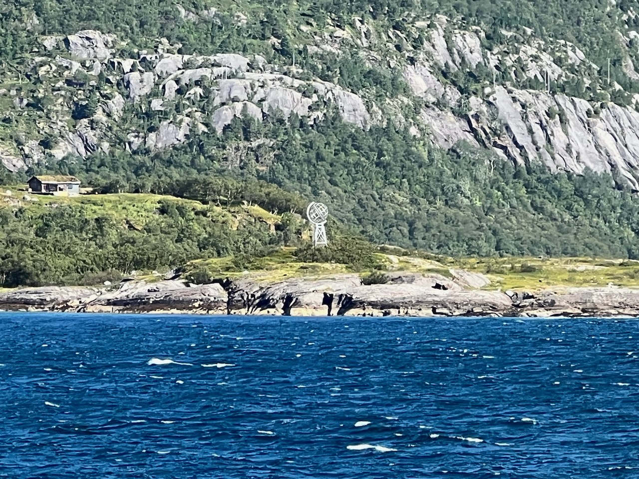
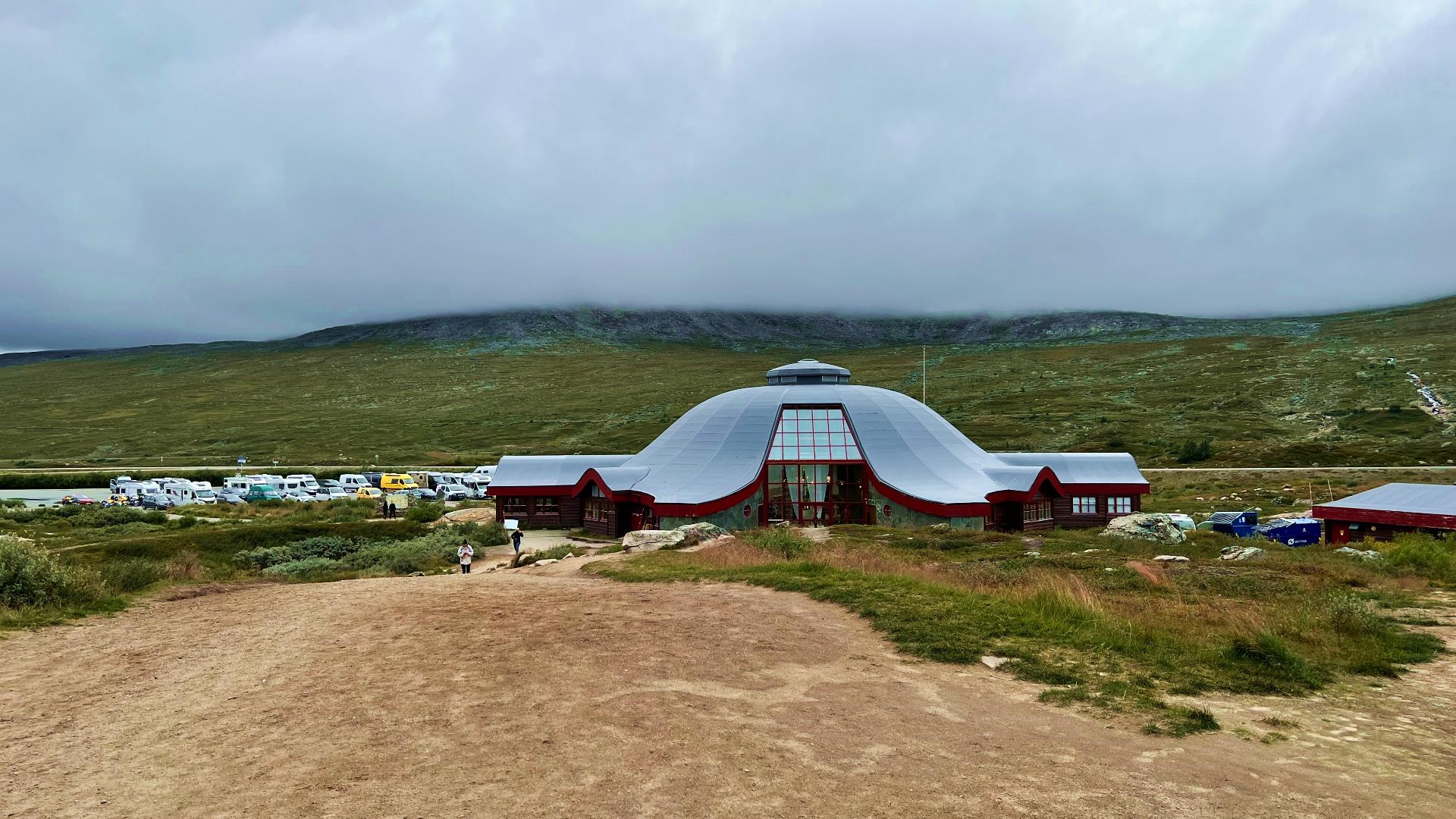
The Polarsirkelsenteret opened on 14 September 1990, the same day the new E6 alignment was completed. The UFO-shaped building was placed right where the Arctic Circle crossed the road that year. But here is the thing: the Arctic Circle moves. Earth's axial tilt shifts over a 41,000-year cycle, and right now the circle is drifting northward at about 14.5 metres per year. Since the centre opened, the actual Arctic Circle has moved roughly half a kilometre north of the building. It no longer runs through the structure at all. Over the full cycle, the circle swings across a 267-kilometre range, from Brønnøysund at its southernmost to Moskenesøya in Lofoten at its northernmost. That maximum northward reach will come in about 10,000 years, when the circle touches the southern tip of the Lofoten archipelago before slowly drifting back south again.
The plateau divides Helgeland to the south from Salten to the north. Spruce forests and vipers stop here; neither species makes it further north. It also marks the cultural boundary between Southern Sámi and Lule Sámi territories, with sacrificial stones called sieidi, pit traps, and semi-subterranean dwellings called stallotufter dating to the 800s. Saltfjellet holds the oldest and most important Sámi cultural sites south of Finnmark.
Which is what makes the cairn controversy so painful. Hundreds of thousands of visitors cross the Arctic Circle each year, and many stack stones to mark their crossing. The terrain here is classified as tundra, as fragile as Svalbard. Pulling stones from the ground destroys the shade and moisture that sustain vegetation. The areas of heaviest cairn-building are now completely denuded, bare sand and gravel where there was once living ground that supported lemmings, arctic foxes, and birds of prey. Worse, tourists have dismantled stones from 500-year-old Sámi fireplaces called arran, from sieidi sacrificial stones, and from Iron Age cultural monuments to build their cairns. Under the Cultural Heritage Act, Sámi sites older than 100 years are automatically protected, so this is technically illegal destruction of protected heritage. Cairn-building here violates at least four Norwegian laws. The National Park Board organises annual cairn-demolition volunteer events each autumn, but tourists rebuild them just as fast.
Outside the centre stand Russian and Yugoslav war memorials alongside a 1937 polar circle marker from the original road opening and the main globe monument. The railway that crosses this plateau was built by prisoners of war, a story told in full at the Blood Road Museum further north.