 Medium
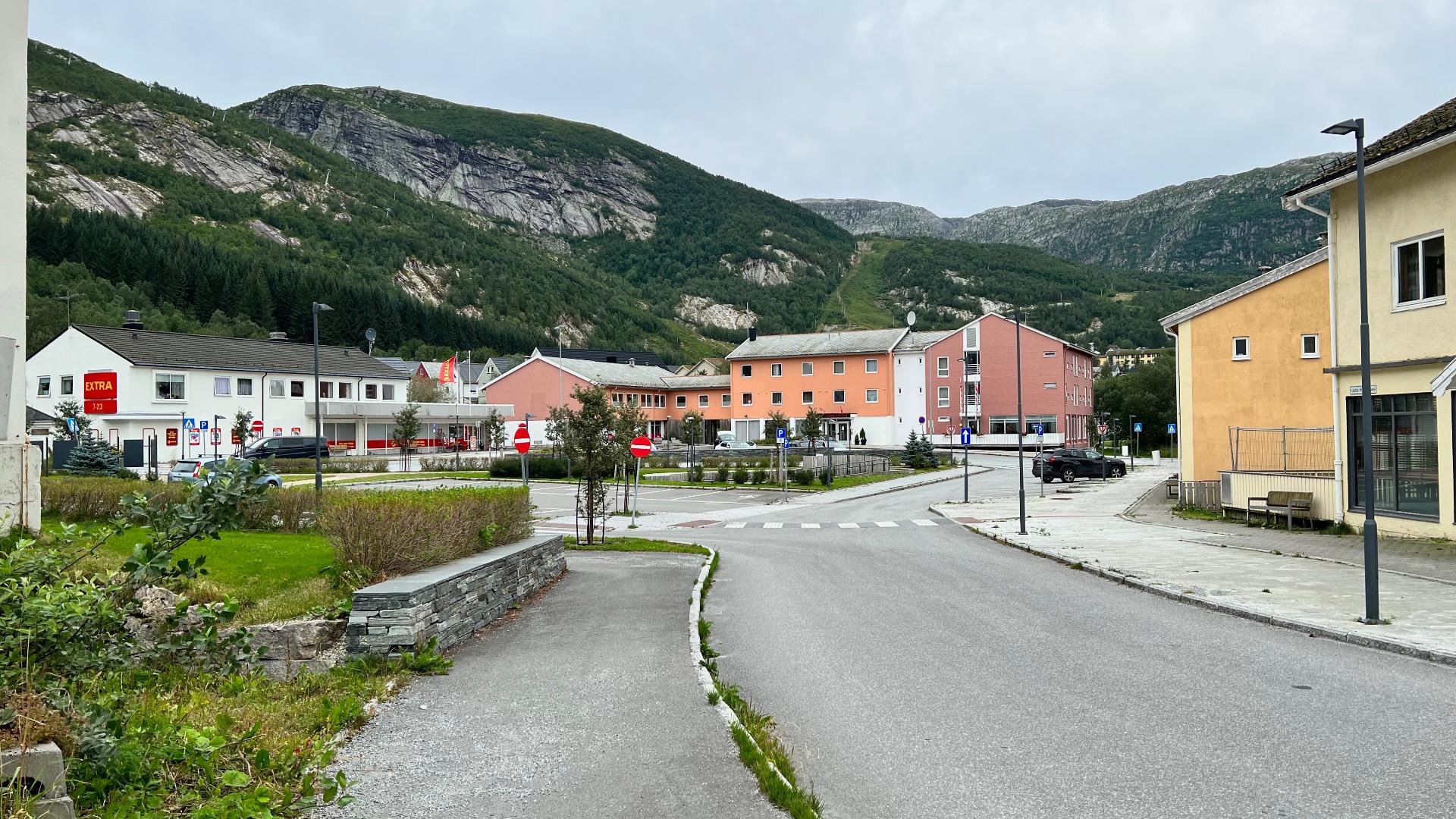
Svartisen means "the black ice," named because old glacier ice is considerably darker than fresh snow. Covering about 370 square kilometres, it is the second-largest glacier on the Norwegian mainland after Jostedalsbreen. It actually consists of two separate ice caps: Vestisen (221 km²) and Østisen (148 km²), divided by the kilometre-long Vesterdalen valley. Around 60 different glacier tongues flow from both. The glaciers are part of Saltfjellet-Svartisen National Park.
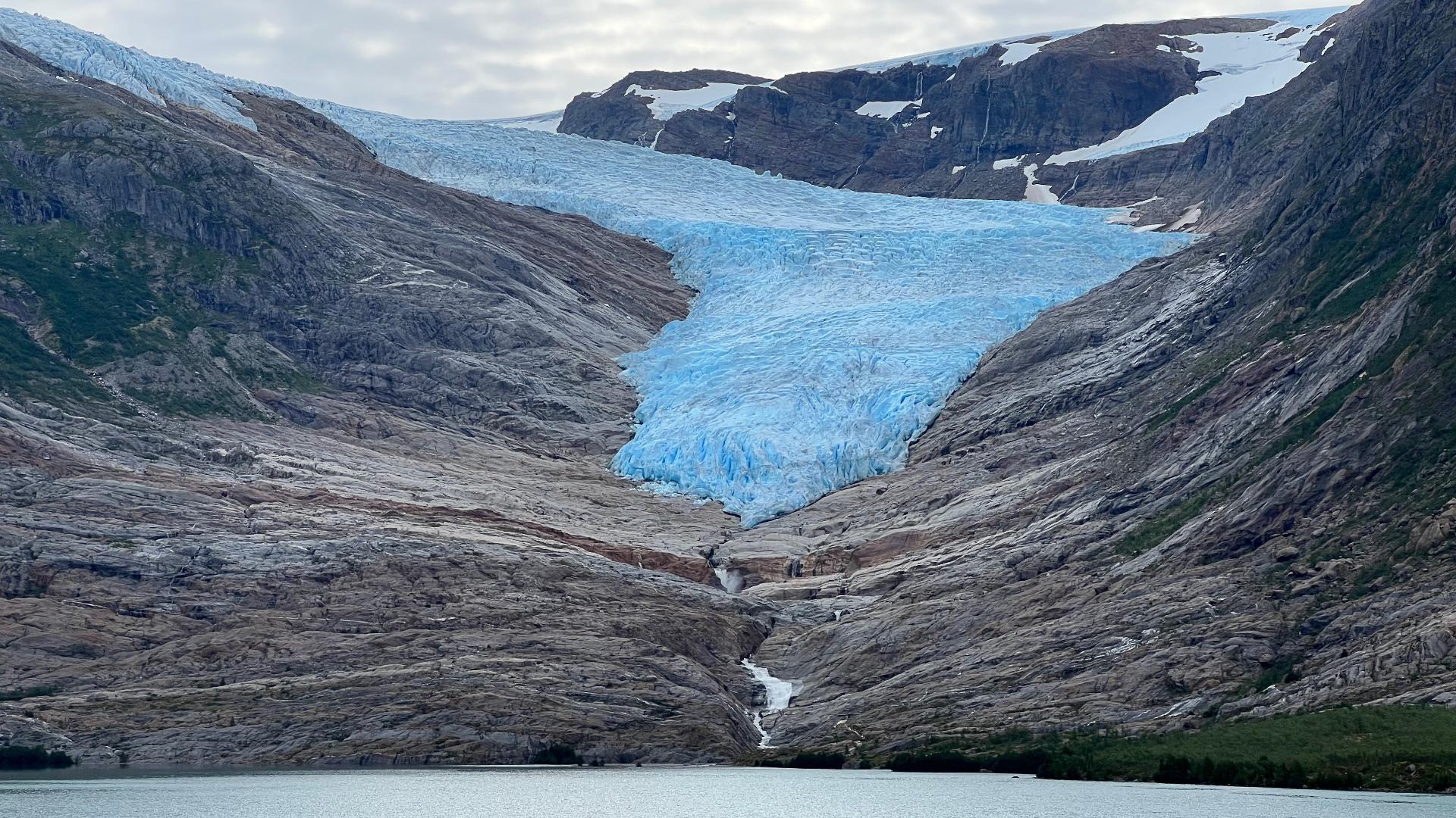
The most visited glacier arm is Engabreen, which drains from Vestisen down toward Holandsfjorden. At just 20 metres above sea level, Engabreen reaches lower than any other glacier on the European mainland. The ice seems almost impossibly close to the fjord, and walking toward it from the water's edge, you feel the temperature drop long before you reach the front.
The glacier has a restless history. During the Little Ice Age in the 1700s, the ice extended all the way to the fjord. It retreated through the 1800s, and by 1900 Svartisvatnet, the lake in front of Engabreen, began to emerge from under the ice. In 1910 it still covered the whole lake. By the 1990s the tongue still ended in the water. Now the lake is entirely free and the glacier has pulled back 200 metres higher up. The walk from the boat landing to the glacier front gets a little longer every year.
Hidden beneath Engabreen lies one of the most unusual research facilities in the world. The Svartisen Subglacial Laboratory, operated by the Norwegian Water Resources and Energy Directorate, sits inside a tunnel system under nearly 200 metres of glacier ice. Originally built as part of a hydropower intake, the tunnels gave scientists direct access to the glacier bed: a place where they can study ice pressure, water flow, and erosion processes from below. Very few places on earth offer this kind of access.
One serious warning: do not go close to the glacier front. The ice blocks scattered around the base did not roll there; they fell, sometimes only days before. Norwegian glaciers calve without warning, and the results can be fatal. At Nigardsbreen in Jostedalen, several people have died this way. The worst incident killed two parents in front of their children, aged 8 and 10, when a wall of ice broke off and crushed them. The warning signs at Engabreen are there for a reason. Stay well back; if you want a dramatic close-up, bring a camera with a telephoto lens. From 300 metres away, the photos look just as impressive, and you go home alive.
A shuttle boat crosses Holandsfjorden several times daily from June to September, taking about ten minutes. From the landing, a 3-kilometre field road leads toward the glacier; after 1.2 km you reach Brestua, a small restaurant with a good view of the ice (this part is easy and suitable for everyone). Beyond the road, the path continues over bare rock, marked with blue cairns. Plan around five to six hours for the whole visit including the boat, the hike, time at the ice, and the return.