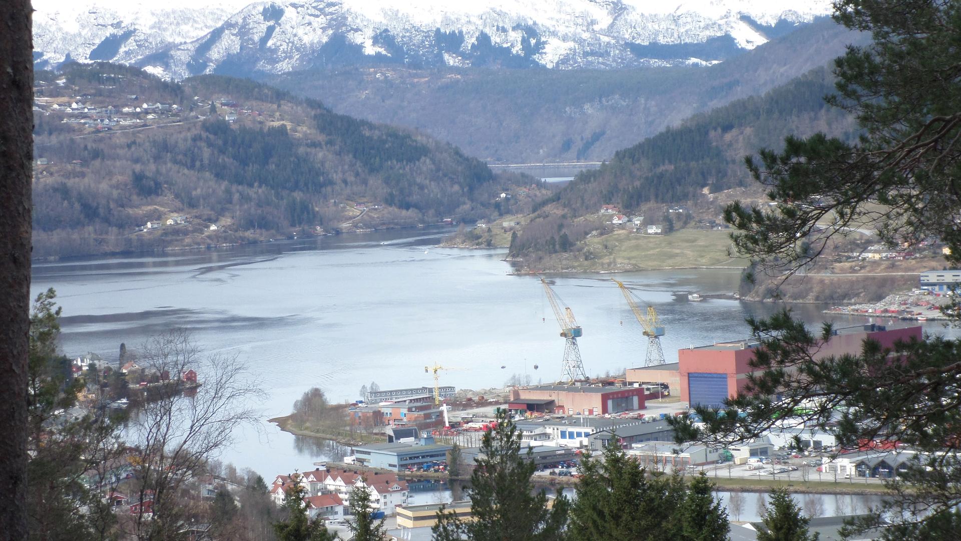
Ålfotbreen is mainland Norway's westernmost glacier and one of the most maritime ice caps in the country. Covering about 9.8 square kilometres, it straddles the borders of Bremanger, Kinn, and Gloppen municipalities, reaching 1,385 metres at its highest point.
The glacier's coastal location makes it one of the wettest places in Europe, receiving around 6 metres of precipitation annually. This extreme moisture is what has sustained the ice cap despite its relatively low elevation. However, Ålfotbreen has been in decline since the late 1990s, and it serves as an important monitoring site for Norwegian climate research. NASA has published satellite imagery documenting its retreat.
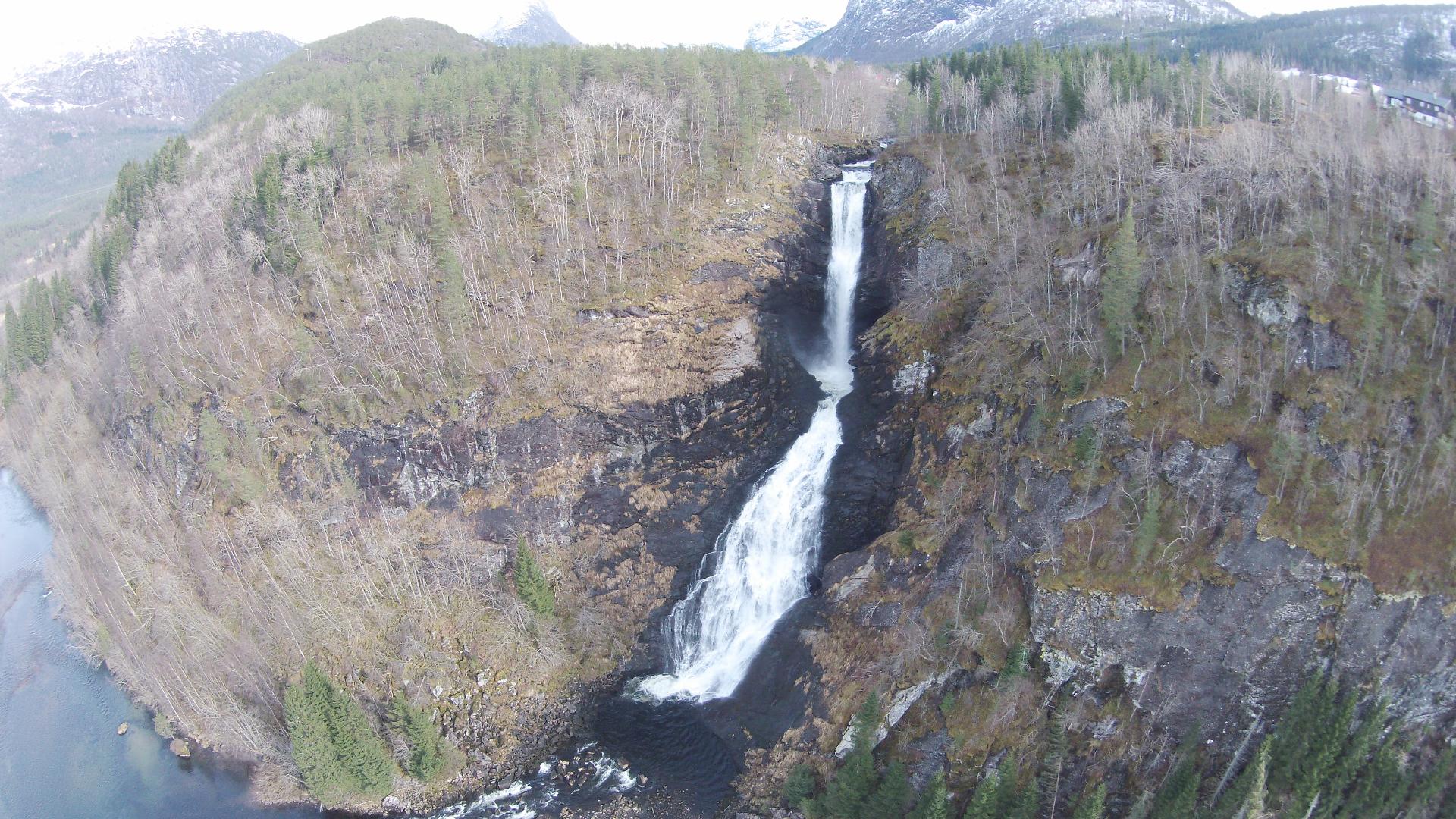
The surrounding area is protected as Ålfotbreen landskapsvernområde (protected landscape). Access requires mountain hiking experience, and glacier walking should only be attempted with proper equipment and knowledge. The landscape is raw and untouched, a stark contrast to the more accessible glacier arms further east in Nordfjord.
The glacier's coastal location makes it one of the wettest places in Europe, receiving around 6 metres of precipitation annually. This extreme moisture is what has sustained the ice cap despite its relatively low elevation. However, Ålfotbreen has been in decline since the late 1990s, and it serves as an important monitoring site for Norwegian climate research. NASA has published satellite imagery documenting its retreat.
The surrounding area is protected as Ålfotbreen landskapsvernområde (protected landscape). Access requires mountain hiking experience, and glacier walking should only be attempted with proper equipment and knowledge. The landscape is raw and untouched, a stark contrast to the more accessible glacier arms further east in Nordfjord.