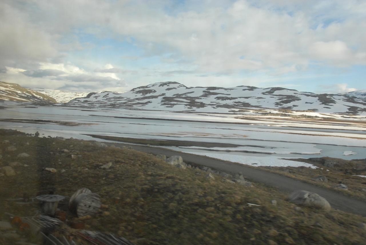
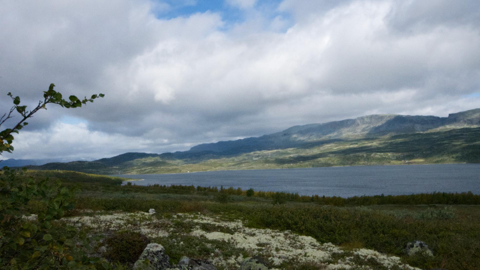
Strandavatnet sits at nearly 1000 metres, the highest lake along Fv50. It marks where Sudndalen ends and the road begins climbing towards Geiteryggen and the descent into Aurlandsdalen.
Before the dam was built in 1952, several small mountain farms stood by the shore. They're now underwater. The 28-metre-high dam raised the lake to become a reservoir for Hol power station, storing 554 million cubic metres of water.
On the south shore, Hallingskarvet National Park reaches down to the water's edge. On clear days, you'll see Folarskardnuten (1933m), the highest peak of Hallingskarvet, reflected in the lake.
The old cattle drive route followed this shore - drovers heading west to Aurlandsdalen would pass through Sveingardsbotn at the lake's western end, then climb to Geiteryggen.