 Very Difficult
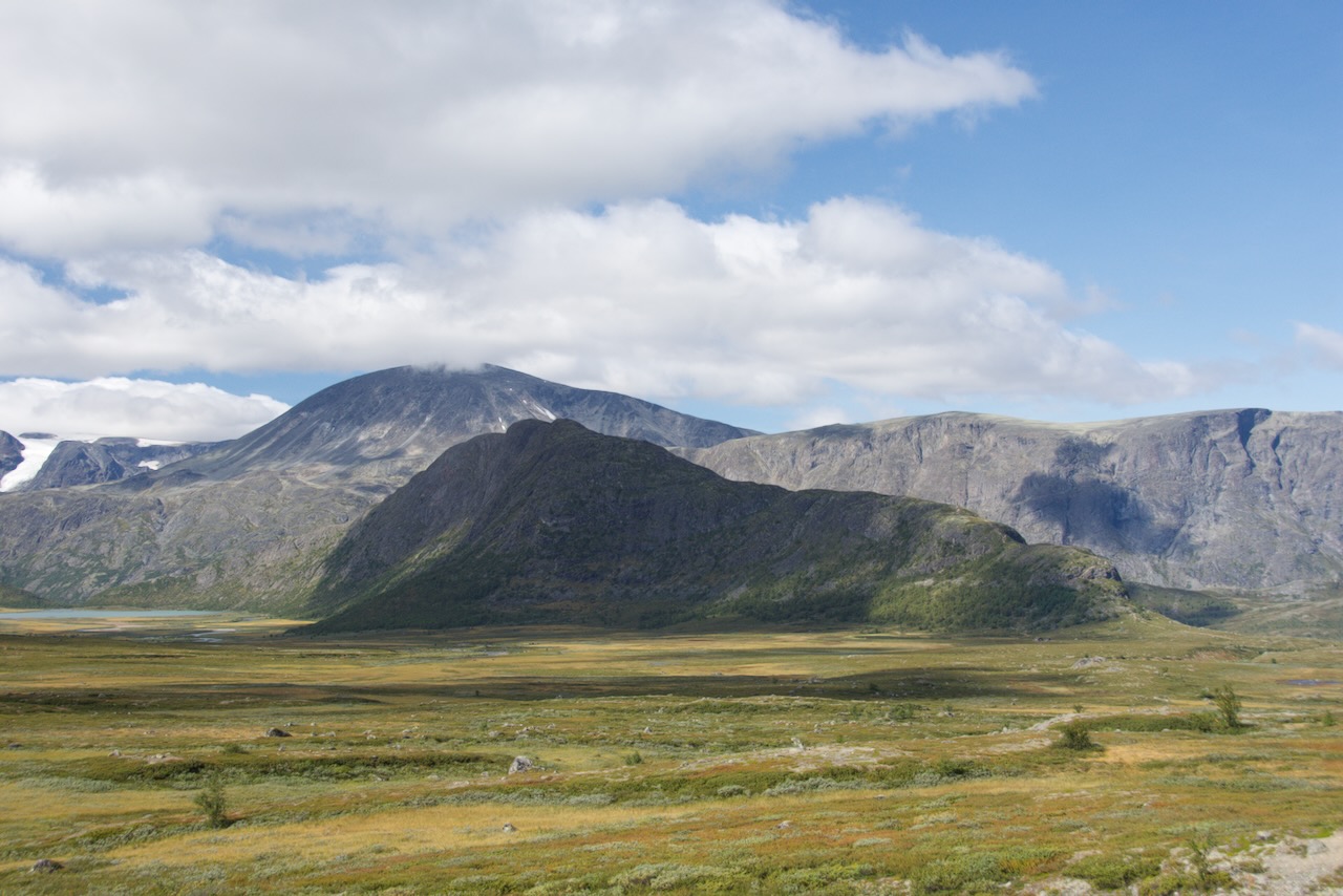
Rasletind is a 2,105-metre peak on the south-eastern edge of Jotunheimen, about 15 km north-west of Beitostølen. It is one of the few mountains over 2,000 metres in Norway with a marked summer walking route, which is a large part of why it draws the numbers it does.
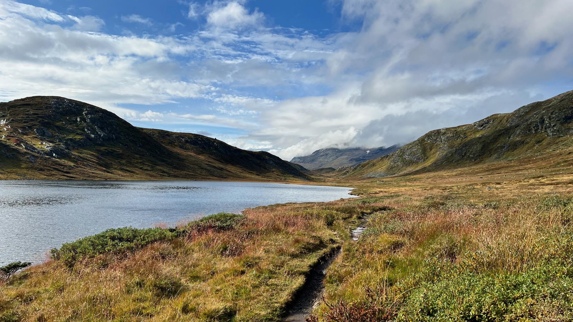
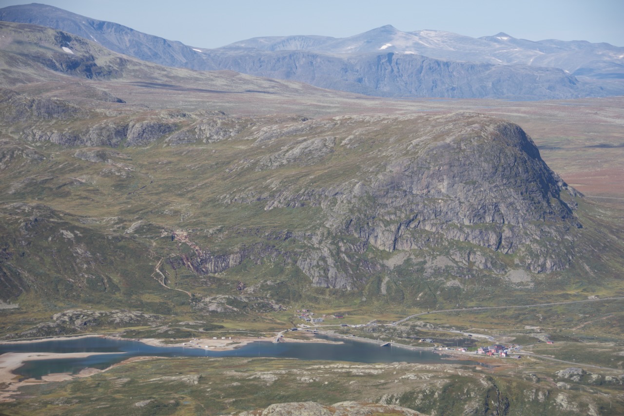
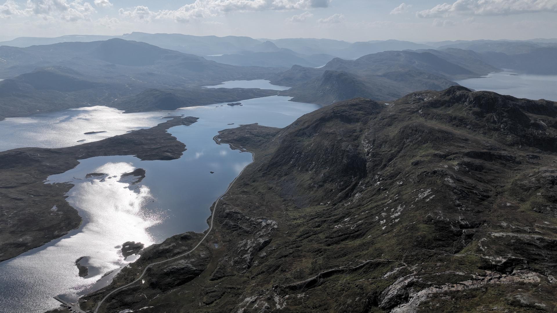
The walk starts at Flye 1389, the highest point of the Valdresflye road, where there is a car park and a café. This is what makes the mountain so easy to reach: you drive up and start walking, with no long approach and no mountain hut in between. In season the peak can also be reached by the buses that cross Valdresflye. Easy to get to, however, is not the same as easy to climb.
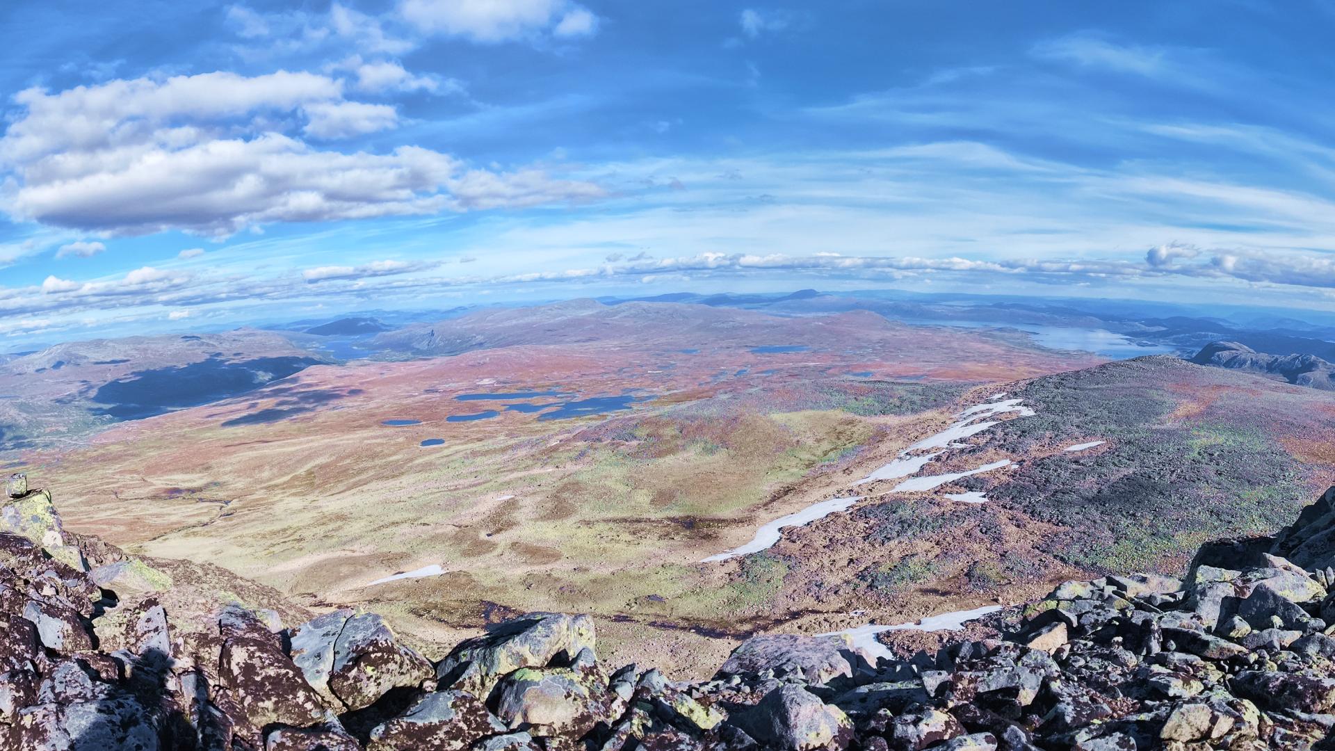
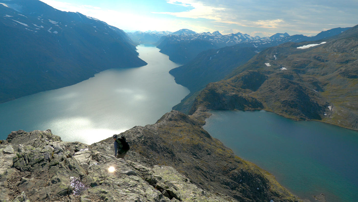
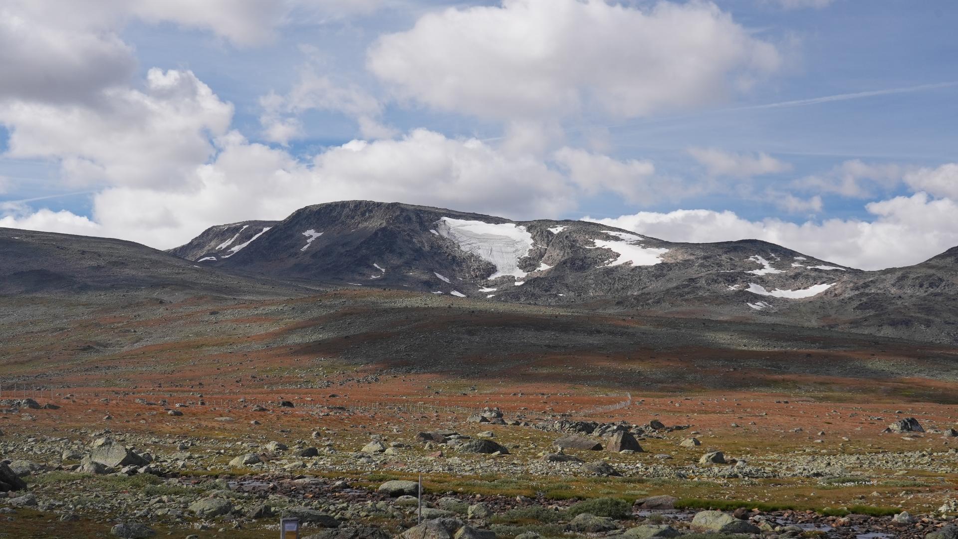
The route was marked by the local tourist association in 2014 and 2015. It follows cairns with a small red T painted on the rock, and duckboards were laid over the wettest ground on the first stretch. The walk opens flat across the mountain plateau, then turns to stone. Roughly half of the ascent is over coarse, angular boulders and scree, where you have to watch every step and choose your footing.
Before the true summit you cross Øystre Rasletinden, a secondary top of 2,010 metres. Some walkers rate the view from here as highly as the main peak. The full walk is 16.25 km with 920 metres of ascent, which counts the second climb back up onto Øystre Rasletinden on the way, and it is a long day, not a quick one.
Rasletind is a mountain of two seasons. In spring it is a popular ski-touring destination, and most of the traffic on it comes on skis rather than on foot. The summer walkers are the smaller group.
Rasletind owes some of its popularity to television. The Norwegian series Team Pølsa, in which a group of young people each with a disability take on outdoor challenges together, filmed an ascent of the mountain, and visitor numbers rose noticeably afterwards. It is the kind of programme Norwegian public broadcasting does well, and it turned an already accessible peak into a busier one. On a fine summer weekend you will not have it to yourself.
The walk starts at Flye 1389, the highest point of the Valdresflye road, where there is a car park and a café. This is what makes the mountain so easy to reach: you drive up and start walking, with no long approach and no mountain hut in between. In season the peak can also be reached by the buses that cross Valdresflye. Easy to get to, however, is not the same as easy to climb.
The route was marked by the local tourist association in 2014 and 2015. It follows cairns with a small red T painted on the rock, and duckboards were laid over the wettest ground on the first stretch. The walk opens flat across the mountain plateau, then turns to stone. Roughly half of the ascent is over coarse, angular boulders and scree, where you have to watch every step and choose your footing.
Before the true summit you cross Øystre Rasletinden, a secondary top of 2,010 metres. Some walkers rate the view from here as highly as the main peak. The full walk is 16.25 km with 920 metres of ascent, which counts the second climb back up onto Øystre Rasletinden on the way, and it is a long day, not a quick one.
Rasletind is a mountain of two seasons. In spring it is a popular ski-touring destination, and most of the traffic on it comes on skis rather than on foot. The summer walkers are the smaller group.
Rasletind owes some of its popularity to television. The Norwegian series Team Pølsa, in which a group of young people each with a disability take on outdoor challenges together, filmed an ascent of the mountain, and visitor numbers rose noticeably afterwards. It is the kind of programme Norwegian public broadcasting does well, and it turned an already accessible peak into a busier one. On a fine summer weekend you will not have it to yourself.