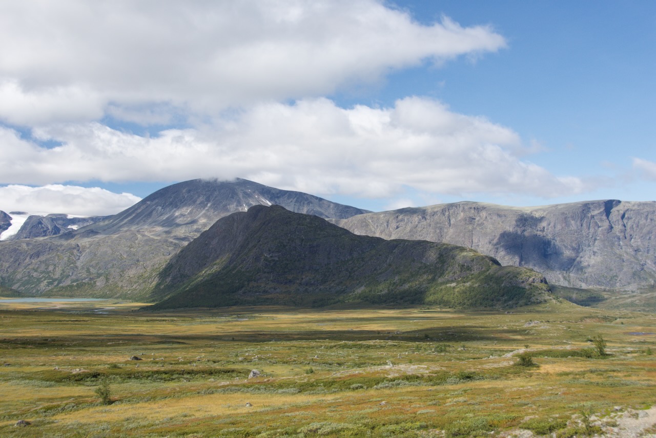
The drive across Valdresflya, one of the most impressive high mountain plateaus in Norway. The road reaches 1389 metres at its highest point, making this Norway's second highest mountain pass after Sognefjellet.
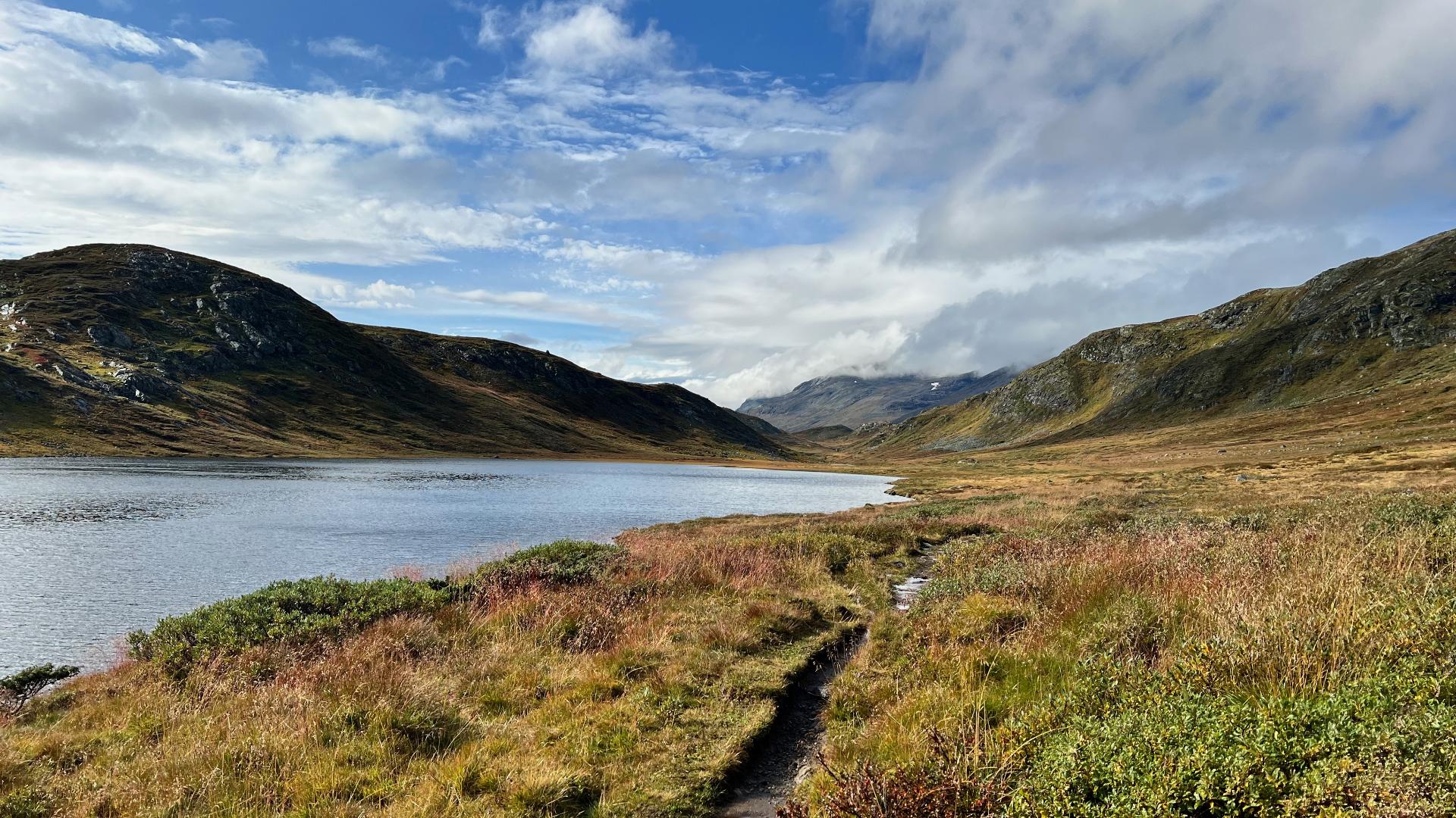
The landscape here is unlike anywhere else you'll drive in the country. It's a vast, open expanse of rock, moss, and small lakes, all shaped by glaciers thousands of years ago. The boulders scattered across the plateau were carried here by the ice and dropped when it melted. On a clear day, you can see dozens of peaks in Jotunheimen to the west, many over 2000 metres. If you're here in summer and thinking of walking off the road, be aware that much of the plateau is boggy. There are boardwalks on the marked trails for good reason.
This road took decades to build. Planning started in the 1920s, but the main work happened in the late 1930s. A 1936 budget document explained why it mattered: at that time, there was no road connection between Vestlandet and Trøndelag except the huge detour via Lærdal and Filefjell. This route would finally link Valdres and Gudbrandsdalen directly. The road was finished in 1953.
Interestingly, there were also plans to build a railway across this plateau. After the First World War, Bergen set up a committee to examine a cross-country connection between the Bergen Line and the Dovre Line. The idea was to avoid the long detour via Oslo when travelling between Bergen and Trondheim. The proposed line would have run from Torpo in Hallingdal, across the mountains to connect with the Valdres Line at Fagernes. From there it would continue through Øystre Slidre, over the plateau near the Vinster lakes, and down to Gudbrandsdalen. But the railway commission concluded in the 1920s that the traffic simply wouldn't justify the enormous cost. The matter came up again in 1946 and 1956, but nothing came of it. Today, the road serves that same strategic purpose.
The plateau can be harsh. In winter, the snow and wind make it impossible to keep the road open, so it normally closes from mid-December to Easter. There are ongoing discussions about keeping it open year-round, which would save truck drivers 115 kilometres between the E6 and E16, but the cost of snow clearing and avalanche protection has so far been too high. Even when open, the road is often closed at night in spring and autumn, from 8:00 to 20:00. Check the road status before you travel.
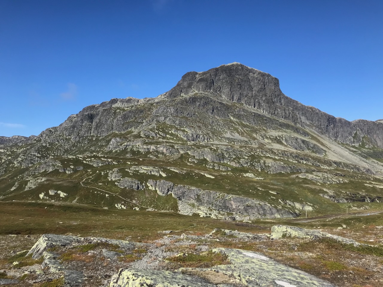
In spring, from April to early June, this is one of Norway's most popular areas for ski touring. The altitude means the snow stays late, and you can reach several 2000-metre peaks directly from the road. Rasletinden at 2105 metres is the classic tour - it's a relatively easy climb on touring skis, and from the top you can continue to several other summits including Mugna and the Kalvehøgde massif. The conditions often hold until the start of June.
The plateau is also a paradise for kite skiing. The vast, open terrain and reliable winds make Valdresflya one of Norway's best spots for the sport. You can kite here from November through to June in a good year - essentially whenever there's snow and the road is accessible. The area around Bygdin even has a dedicated kite school. The mountains Bitihorn and Synshorn create a natural wind tunnel that makes conditions particularly good. Some experienced kiters use their kites to climb up to peaks like Rasletinden and then ski back down.
Keep your eyes open for reindeer on the road - they don't always pay attention to traffic.
There are several stopping points along the route. Flye 1389 is a café and service building at the highest point, designed by architect Knut Hjeltnes. The building is clad in pine that will slowly turn grey to blend with the landscape. It's run by DNT and serves local food from Valdres and Gudbrandsdalen. There's also an EV charging station here - a good example of how in Norway you'll now find more charging points than petrol stations, even on a remote mountain plateau at 1389 metres.
At Steinplassen, you'll find an art installation called "Rock on Top of Another Rock" by Swiss artists Peter Fischli and David Weiss. It looks exactly like what the name says - and that's the point. It mimics the tradition of building stone cairns in the mountains.
The viewpoints at Rjupa and Vargbakkane both have parking and good views. Rjupa looks south over Vinstervatn and towards Bitihorn. Vargbakkane looks north towards the Jotunheimen peaks, Knutshøe, and the Besseggen ridge.
This is one of 18 National Tourist Routes in Norway. But honestly, the plateau would be impressive without any official designation. You can stop almost anywhere and walk into the mountains - just watch where you step in summer. In spring, when the road first opens, the snow walls on either side can be several metres high - it feels like driving through a white tunnel.