 Medium
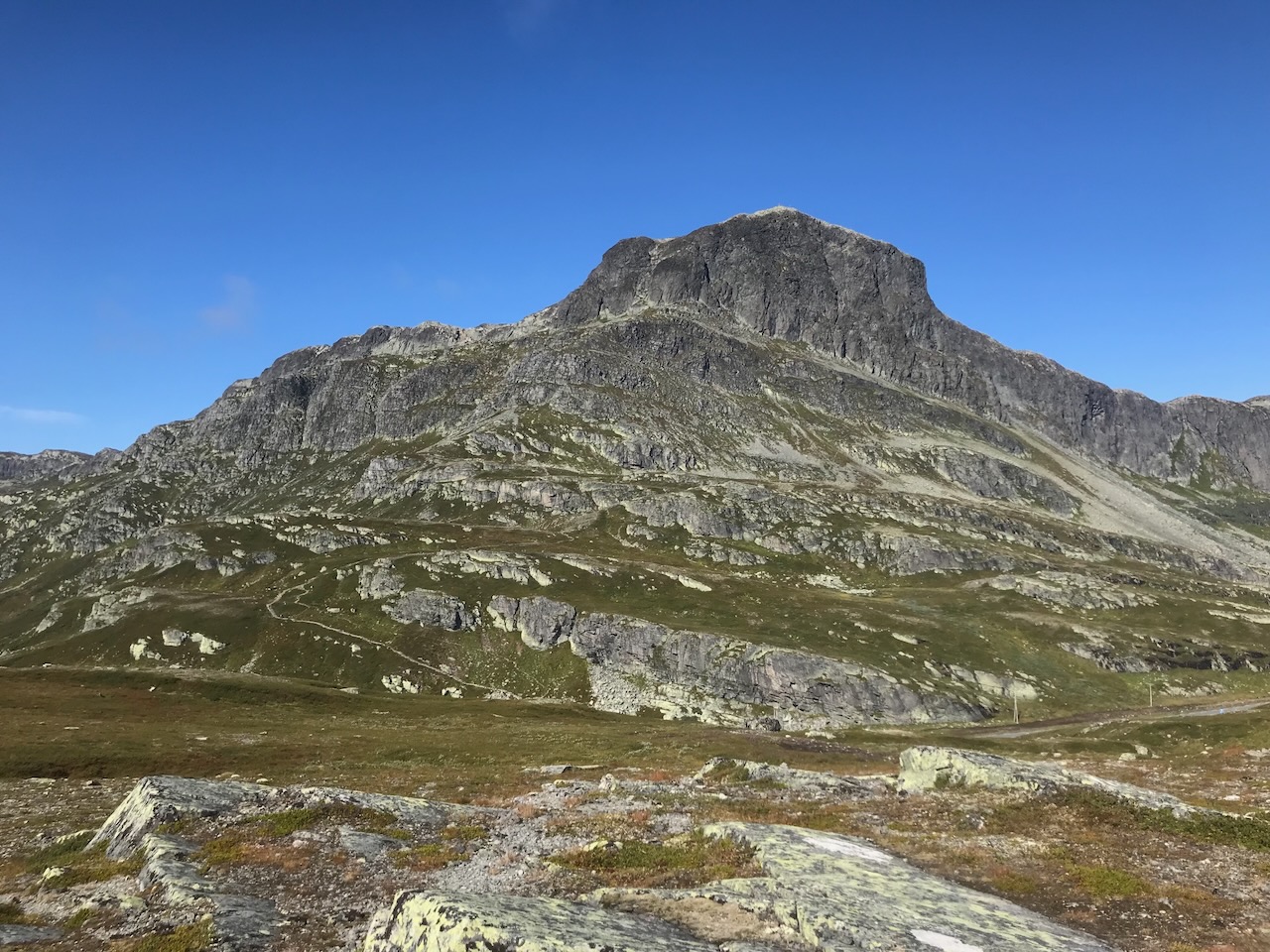
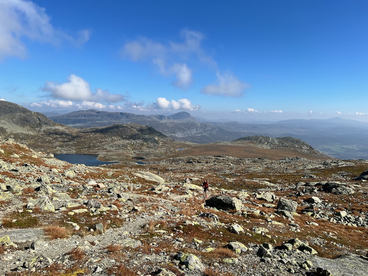
Mugnetind is one of the highest peaks in Valdres at 1739 metres. It sits right on the border with Jotunheimen National Park. Most foreign tourists have never heard of it, but locals love this mountain for good reason.
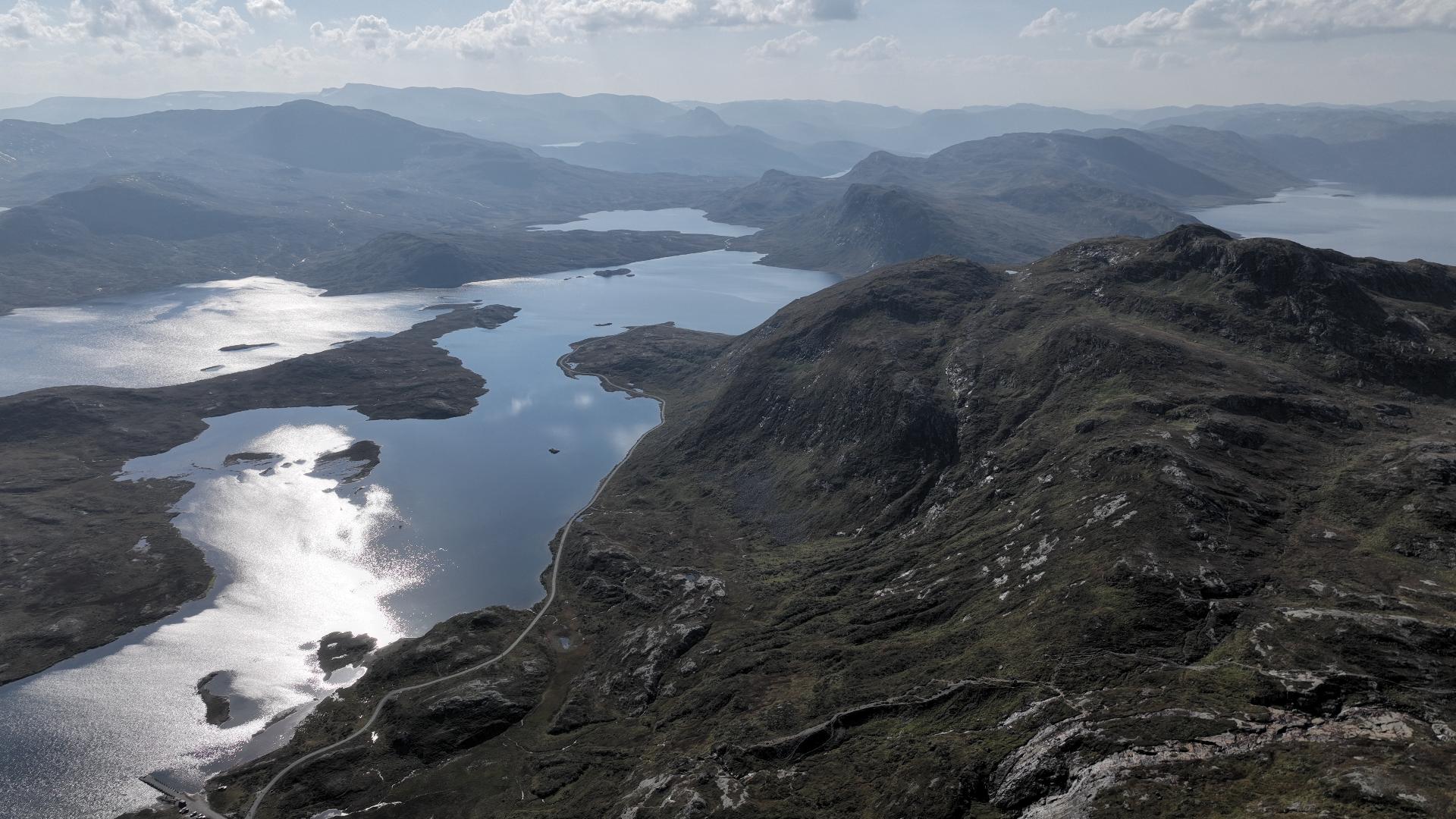
The summit offers one of Norway's finest panoramas. You can see across the entire Valdres valley, into Jotunheimen, and spot famous peaks like Bitihorn and the Gjende Alps. On clear days, the view stretches for dozens of kilometres in every direction.
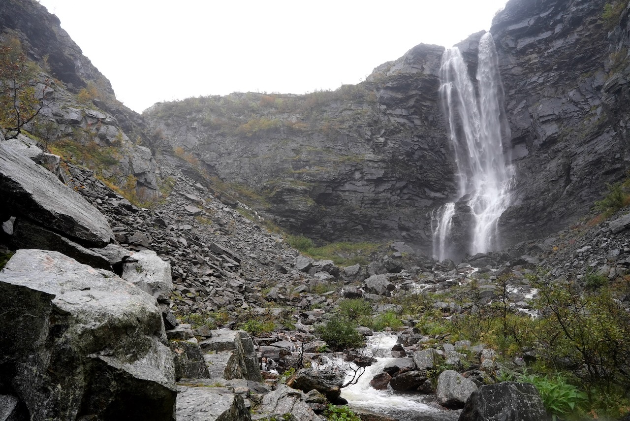
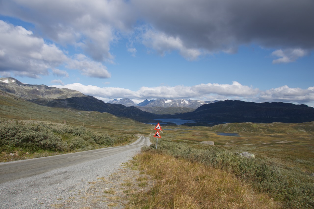
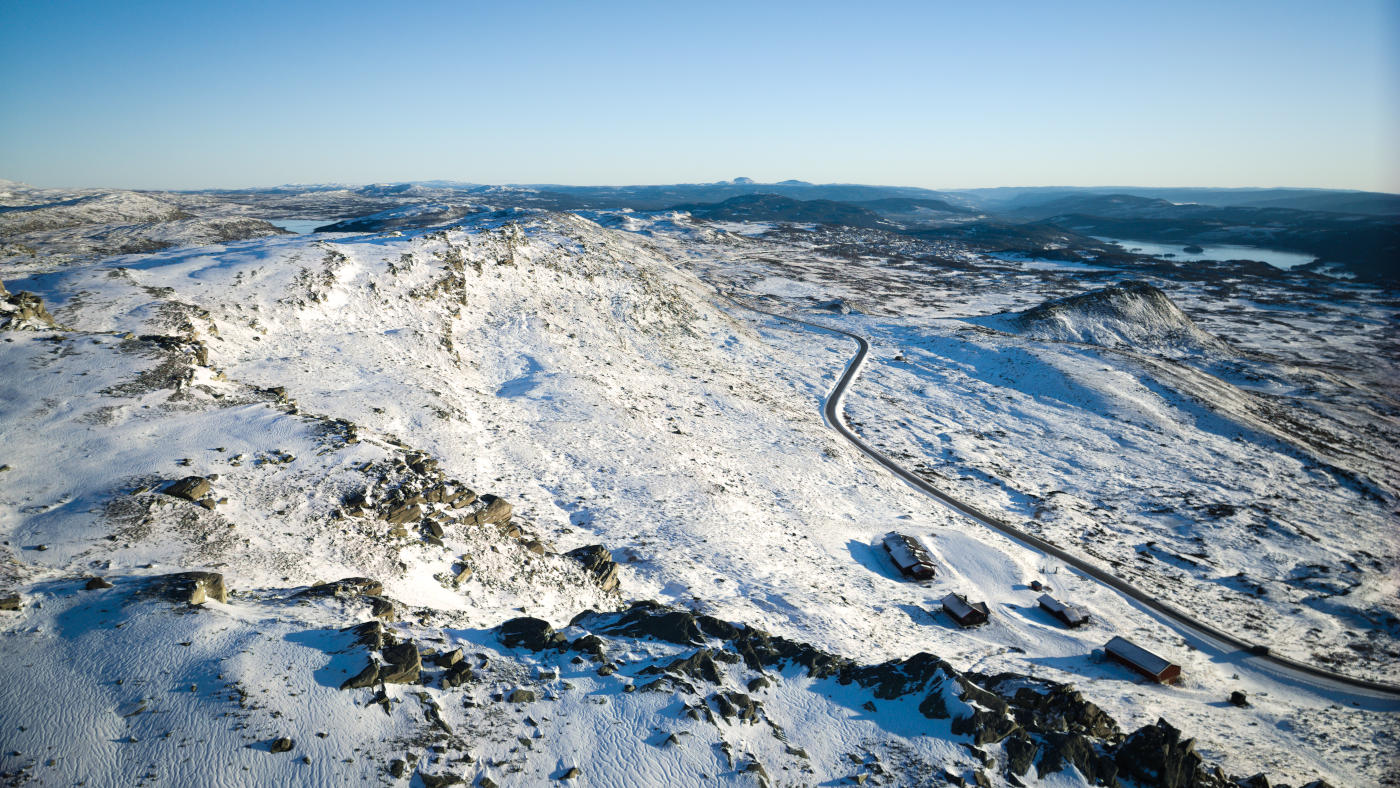
The hike itself is moderately challenging. It's a 5.5 kilometre trail with 725 metres of ascent. Most people take around five hours return. The path follows the Mugna river initially, then climbs past several mountain lakes. Access is from Beitostølen via the toll road towards Slettefjellet. The parking at Mugnestølen fills quickly on weekends, so arrive before half past nine.
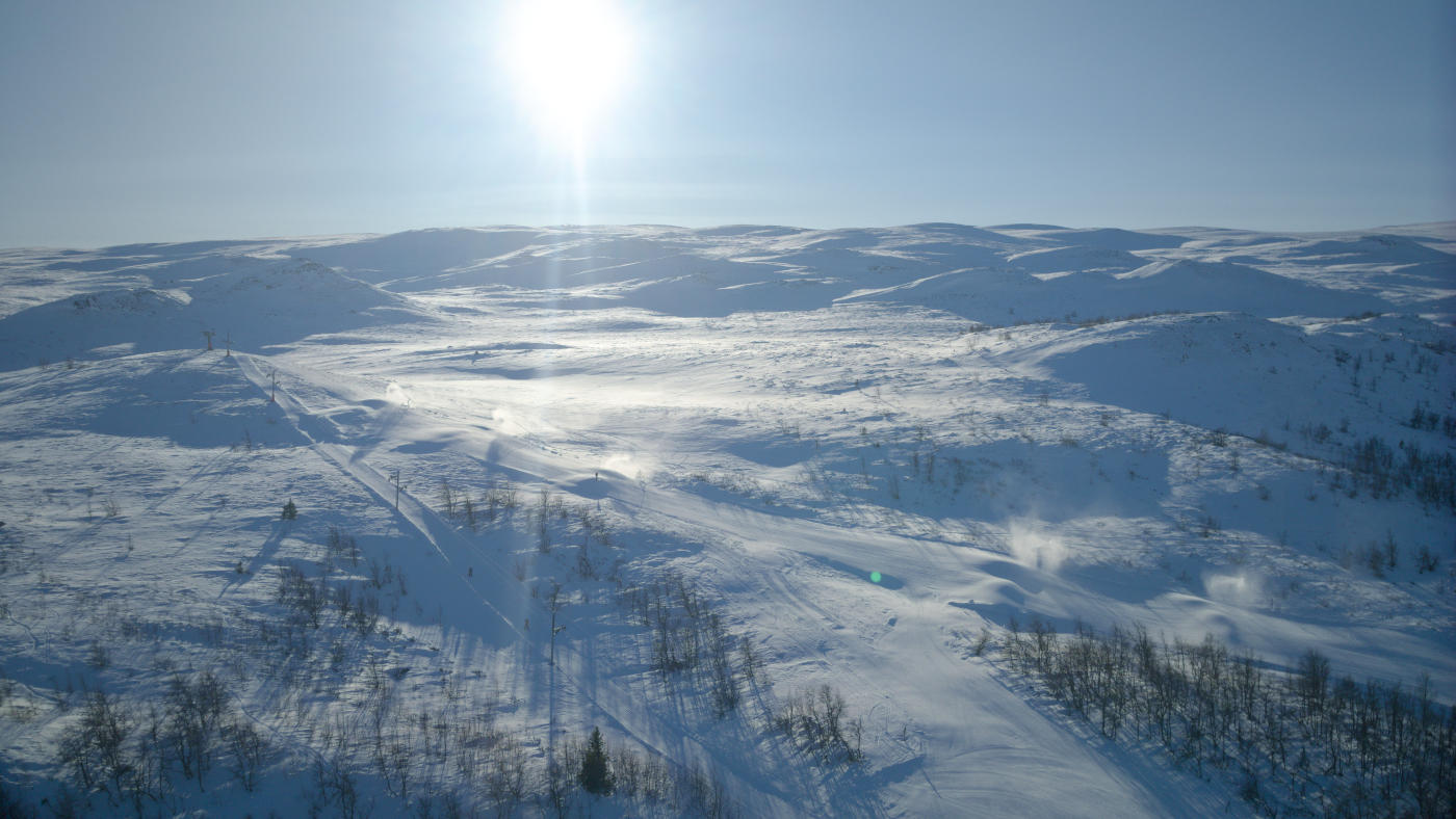
The toll road isn't part of Autopass - you'll need to pay online using details on the information sign. Be aware that snow can arrive as early as September up here.
The summit offers one of Norway's finest panoramas. You can see across the entire Valdres valley, into Jotunheimen, and spot famous peaks like Bitihorn and the Gjende Alps. On clear days, the view stretches for dozens of kilometres in every direction.
The hike itself is moderately challenging. It's a 5.5 kilometre trail with 725 metres of ascent. Most people take around five hours return. The path follows the Mugna river initially, then climbs past several mountain lakes. Access is from Beitostølen via the toll road towards Slettefjellet. The parking at Mugnestølen fills quickly on weekends, so arrive before half past nine.
The toll road isn't part of Autopass - you'll need to pay online using details on the information sign. Be aware that snow can arrive as early as September up here.