Difficult
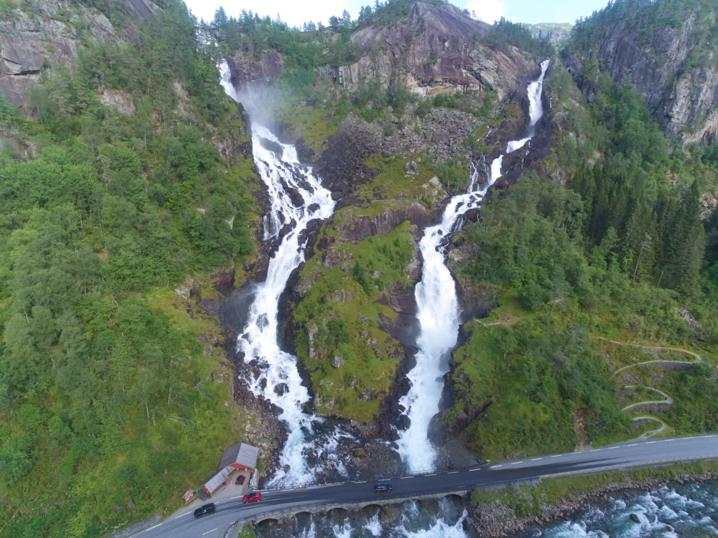
Rising to 1,043 metres above sea level near Odda, Jordalsnuten delivers a 360-degree panorama across the Hardangerfjord, the Folgefonna glacier, and the Buarbreen glacier arm, with views extending to Hardangervidda on clear days. The round trip is roughly 12 kilometres with about 1,330 metres of total elevation gain, making it a demanding full-day hike that typically takes six to eight hours.
The trail starts near Jordal on the southern shore of Sandvinvatnet lake and climbs steeply through birch forest before emerging above the tree line onto open mountain terrain. The upper sections follow cairned routes across rocky ground and occasional snow patches that can persist into July. The summit itself is a narrow ridge with steep drops on several sides, requiring sure-footedness and good conditions. In poor visibility or strong wind, the exposed summit section becomes significantly more challenging.
Despite the demanding ascent, Jordalsnuten attracts far fewer hikers than the nearby Trolltunga, making it a quieter alternative for experienced mountain walkers. The views are arguably more varied, encompassing fjord, glacier, lake, and highland plateau in a single panorama. The trail is not waymarked throughout, so map and compass skills are recommended. Snow can block the upper route well into June.