Very Difficult
Gjegnen, also known as Blånibba, is the highest mountain in Bremanger municipality at 1,670 metres. What makes it remarkable is its topographic prominence of 1,460 metres, the fifth highest in all of Norway, meaning it rises almost from sea level to its full height with very little surrounding terrain to diminish the impression.
The name Gjegnen comes from the adjective gjegn, meaning "straight" or "direct." The summit was historically used as a navigation point: travellers could sight its distinctive peak to find and hold their direction. The alternate name Blånibba simply means "blue peak," describing how the mountain appears from a distance.
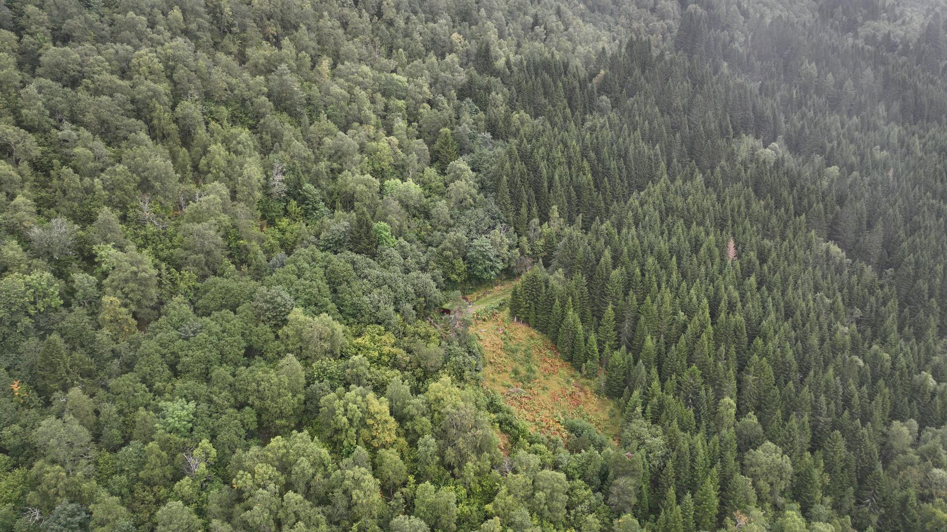
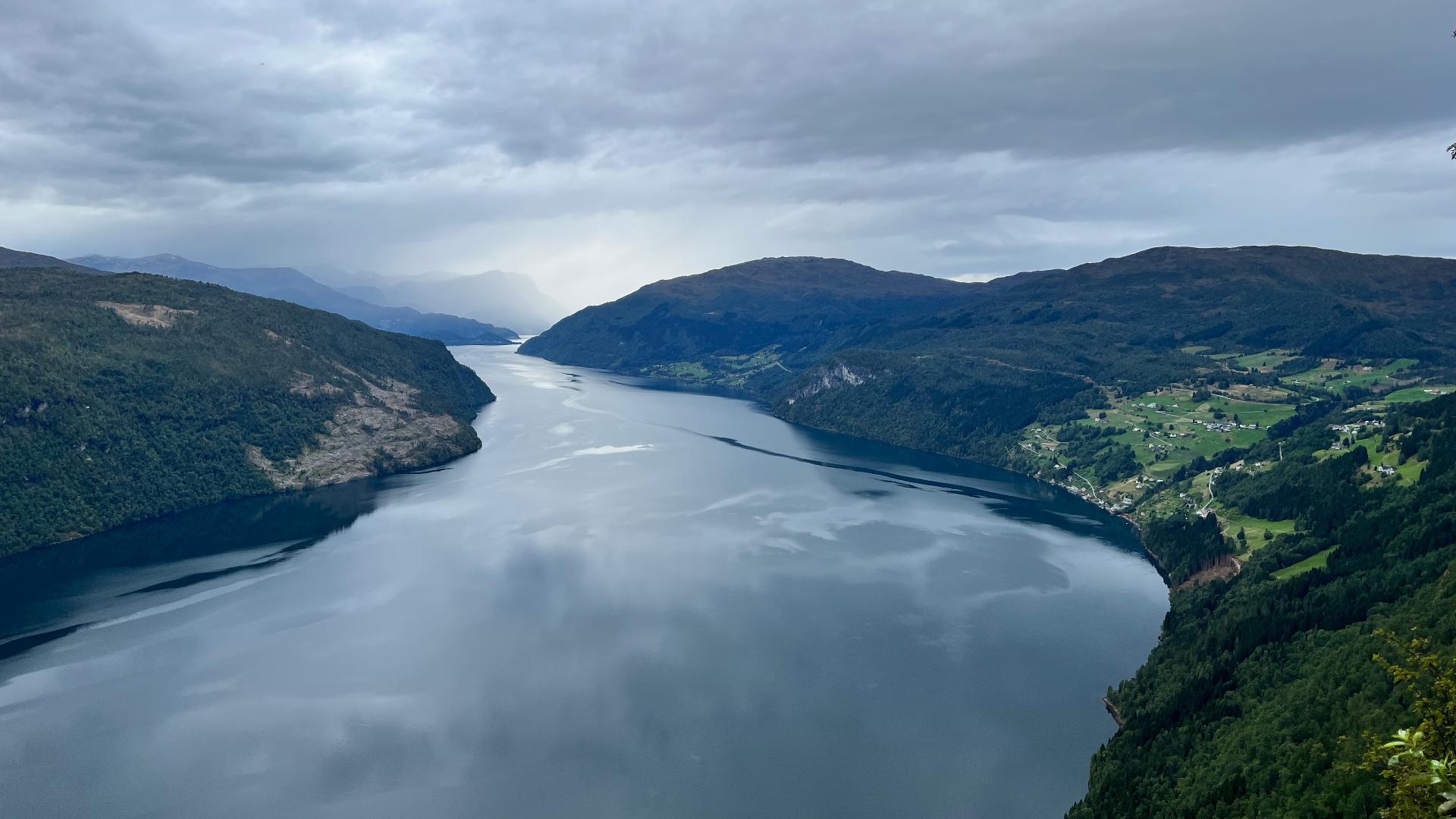
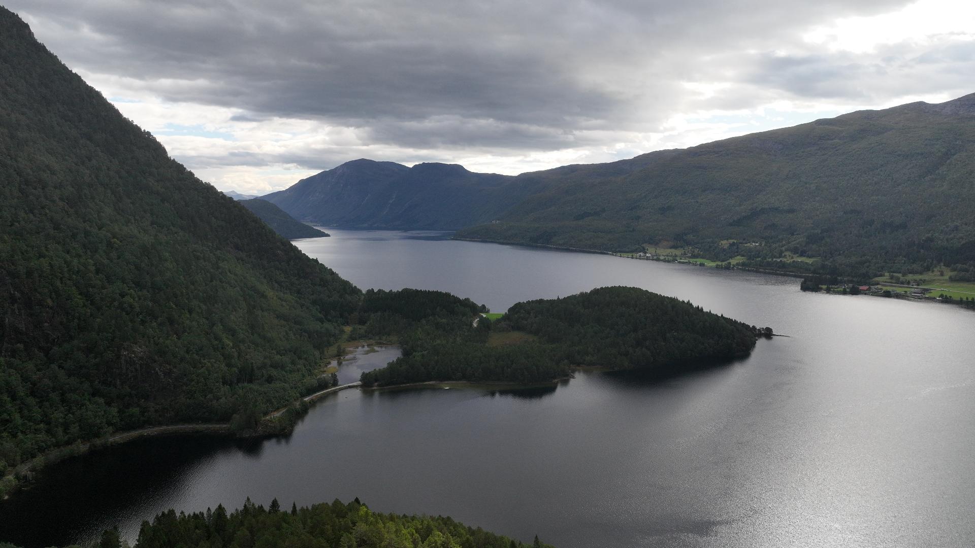
The hike is demanding and suited for experienced mountain hikers. The route climbs steeply through varied terrain, and the summit offers panoramic views across the outer Nordfjord coast, the Ålfotbreen glacier to the south, and the open sea to the west.
The name Gjegnen comes from the adjective gjegn, meaning "straight" or "direct." The summit was historically used as a navigation point: travellers could sight its distinctive peak to find and hold their direction. The alternate name Blånibba simply means "blue peak," describing how the mountain appears from a distance.
The hike is demanding and suited for experienced mountain hikers. The route climbs steeply through varied terrain, and the summit offers panoramic views across the outer Nordfjord coast, the Ålfotbreen glacier to the south, and the open sea to the west.