 Medium
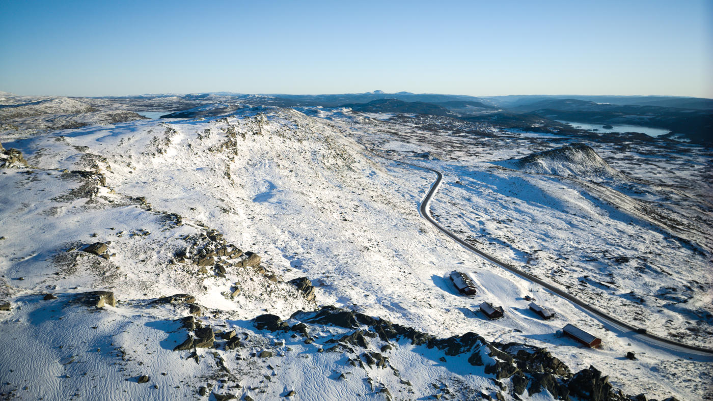
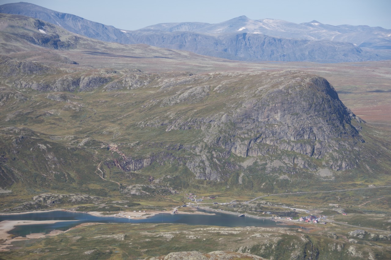
Bitihorn stands at 1607 metres, dominating the landscape near Beitostølen. This mountain has become so iconic that the resort uses it as their logo.
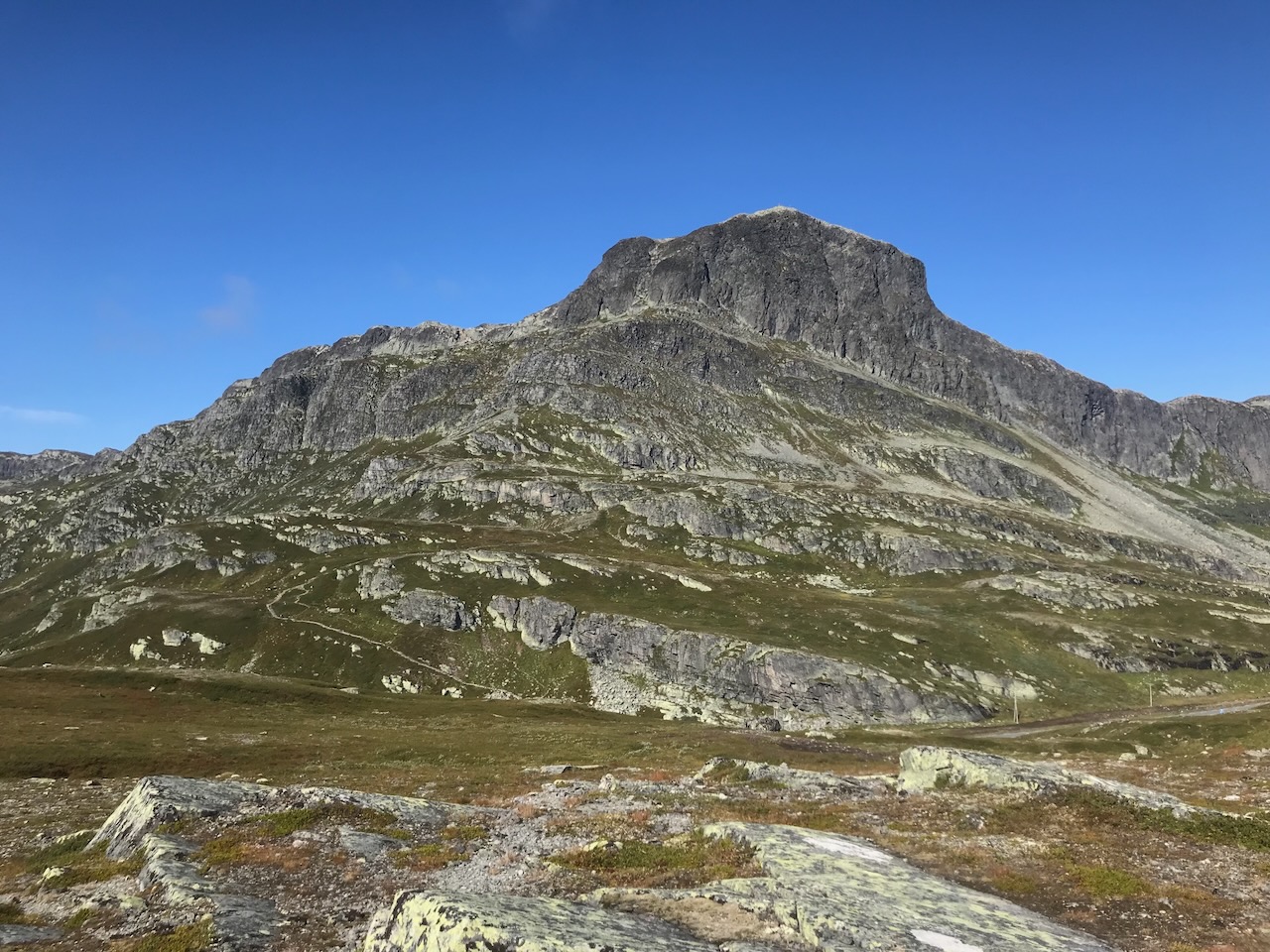
The reason Bitihorn towers above everything else is geology. It's made of hard gabbro rock that resisted erosion whilst softer mountains around it wore away. Being on the front line means no higher peaks block your view to the south and east.
The first recorded ascent was in 1811. During World War Two, this mountain gained darker significance. German and Austrian Alpine troops built a training route up the southern face in 1941, preparing for their planned invasion of the Caucasus. They called it Tyskerstien - the German Path.
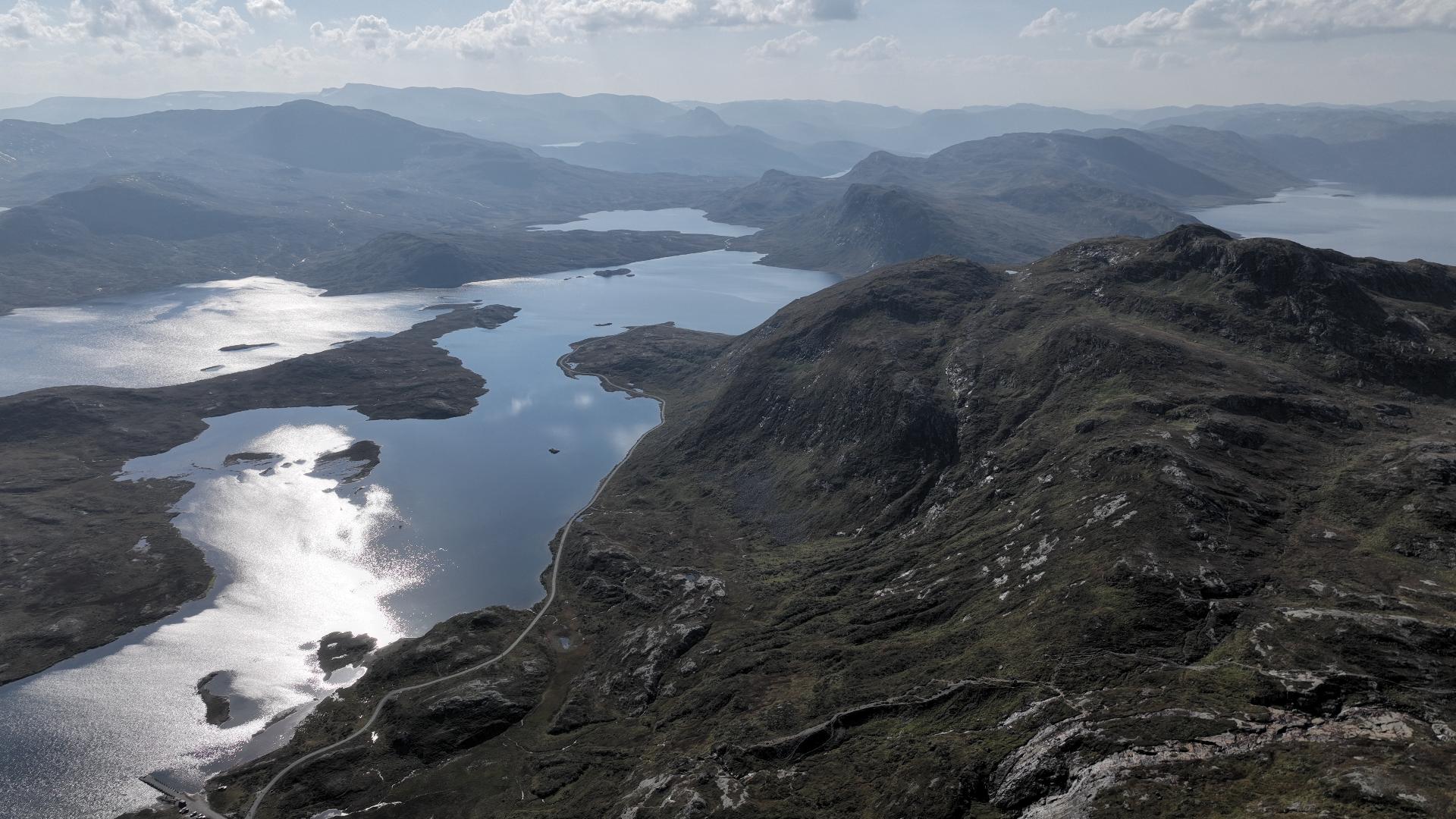
You can still see ruins of their camp sites along this route. From the summit, the 360-degree view is genuinely impressive. You'll see across Jotunheimen, Valdres, and Langsua National Park. Besseggen ridge is visible to the north. Today it's become quite popular with hikers. There are two routes up - the easier northern path and the challenging Tyskerstien. Be aware the southern route requires real hiking experience.
The reason Bitihorn towers above everything else is geology. It's made of hard gabbro rock that resisted erosion whilst softer mountains around it wore away. Being on the front line means no higher peaks block your view to the south and east.
The first recorded ascent was in 1811. During World War Two, this mountain gained darker significance. German and Austrian Alpine troops built a training route up the southern face in 1941, preparing for their planned invasion of the Caucasus. They called it Tyskerstien - the German Path.
You can still see ruins of their camp sites along this route. From the summit, the 360-degree view is genuinely impressive. You'll see across Jotunheimen, Valdres, and Langsua National Park. Besseggen ridge is visible to the north. Today it's become quite popular with hikers. There are two routes up - the easier northern path and the challenging Tyskerstien. Be aware the southern route requires real hiking experience.