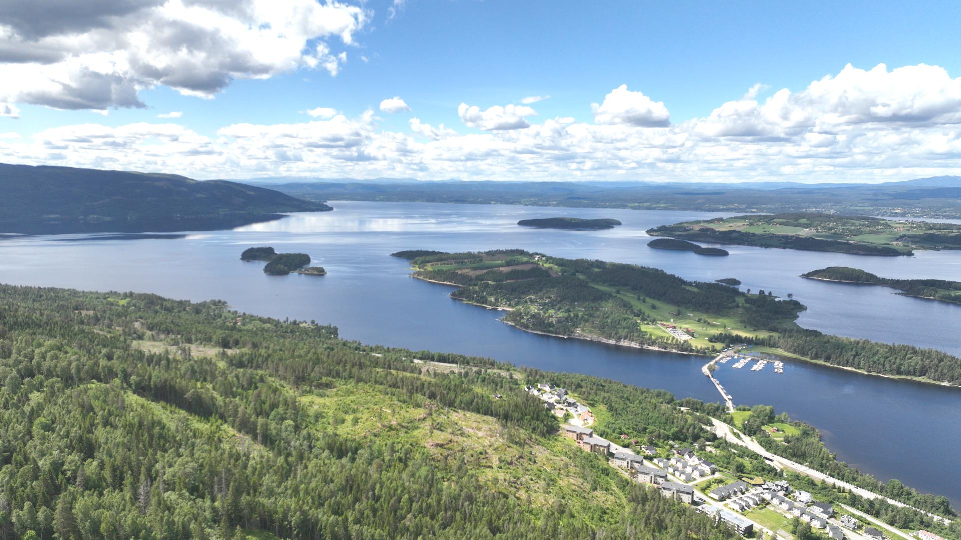
Tyrifjorden is Norway's fifth largest lake by surface area, covering 138 square kilometres about 40 kilometres northwest of Oslo. By volume it ranks second in the country, holding 13 cubic kilometres of water in depths reaching 295 metres. The lake sits just 63 metres above sea level, meaning most of its volume actually lies below sea level.
Despite the name, this is a freshwater lake, not a saltwater fjord. In inland Norway, large lakes carved by glaciers are often called "fjord" just like their coastal cousins. Don't expect to taste salt if you go for a swim.
The name comes from Old Norse "tyri" meaning resinous pinewood, referring to the dead pine forests that once lined the western shores.
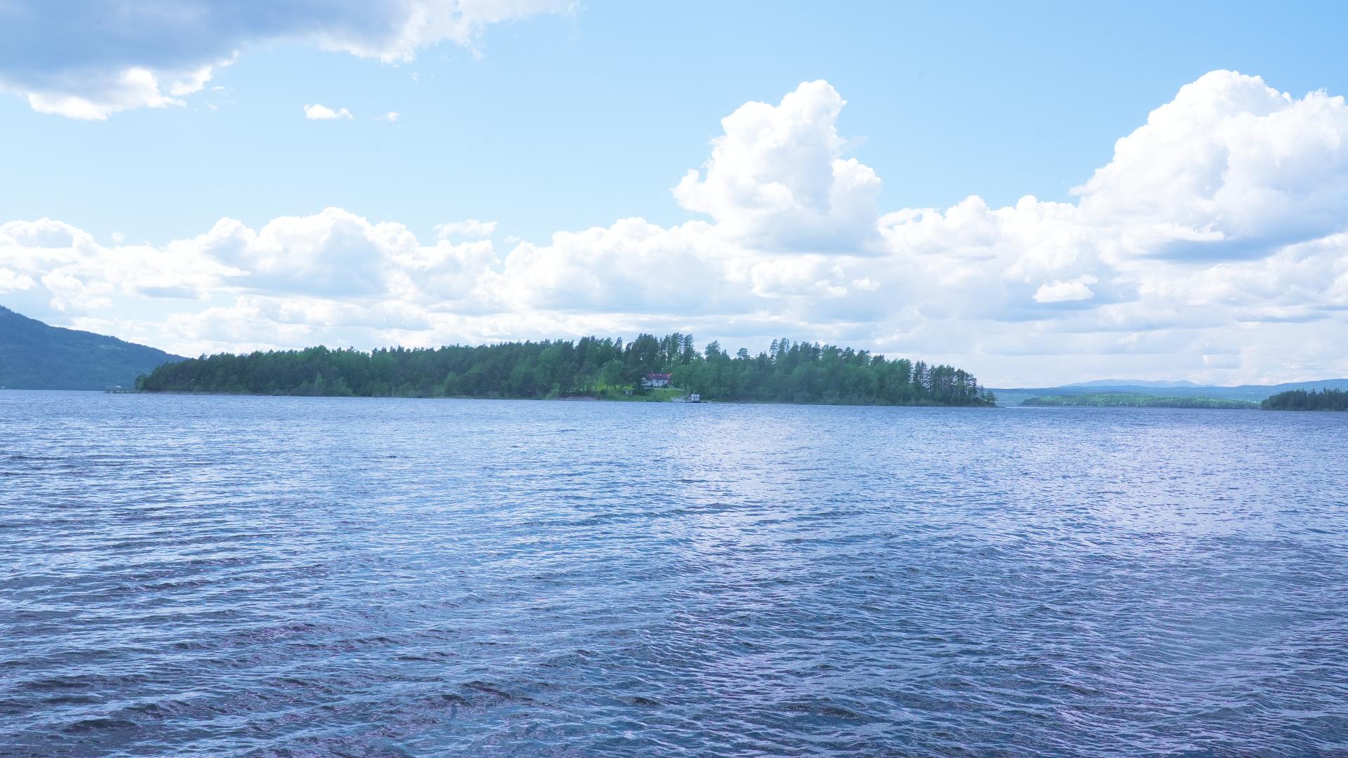
The lake has an irregular shape with four main arms. The northwestern arm is called Nordfjorden. The northeastern arm, Steinsfjorden, is relatively shallow and rich in wildlife with 14 fish species including pike and noble crayfish. The southeastern arm, Holsfjorden, is the deepest. In the middle ages, monks lived on Storøya island at the mouth of Steinsfjorden, and remains of their buildings survive.
Water flows into Tyrifjorden from the Begna river at Hønefoss, where it tumbles over the waterfall Hønefossen. The lake drains from its southwestern corner at Vikersund, becoming the Drammenselva that continues to the sea at Drammen. This water system historically powered Norway's timber industry, floating logs from the interior forests to sawmills and export harbours.
One remarkable piece of engineering stands at Åsa on Steinsfjorden. Between 1809 and 1850, the Kjerraten system used 12 water wheels linked by a 180-tonne chain to haul timber 3,900 metres up a hillside with a vertical rise of 389 metres. A log took three hours to travel through the system. The Kjerratmuseet preserves one original water wheel and explains this ingenious machinery.
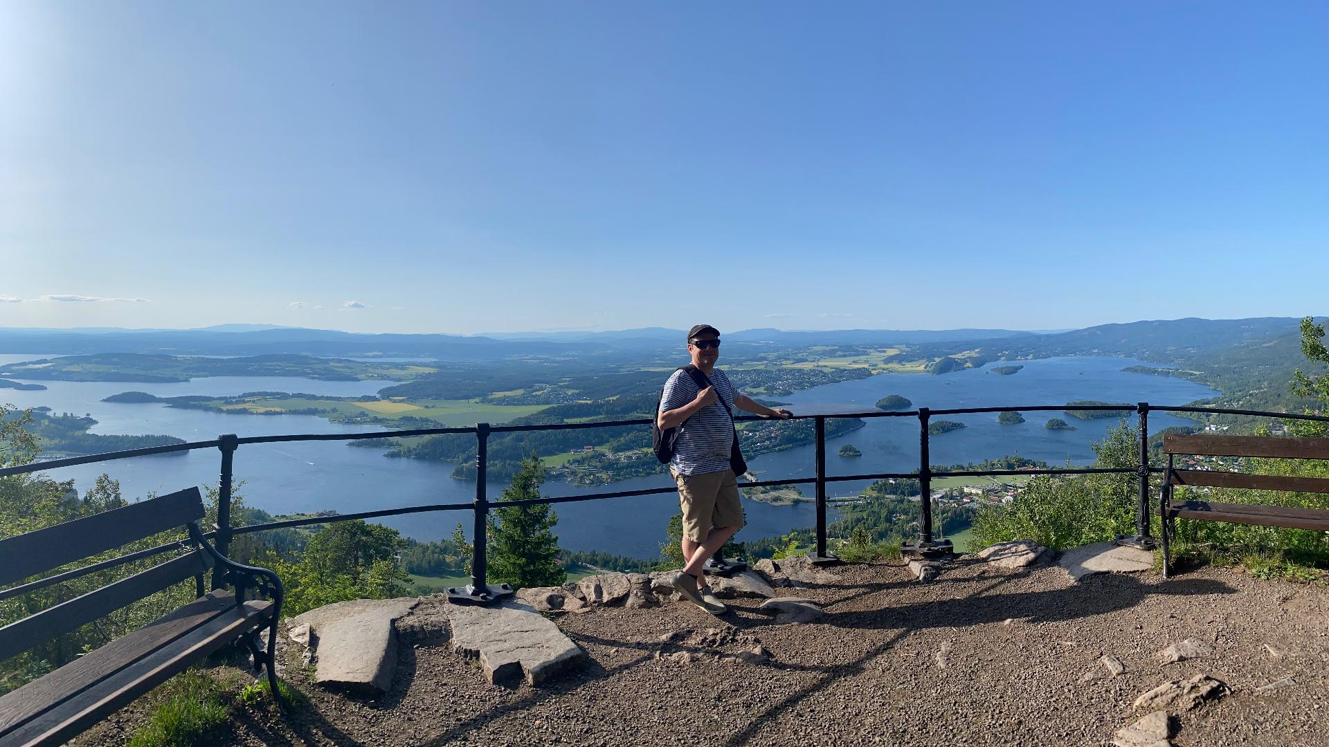
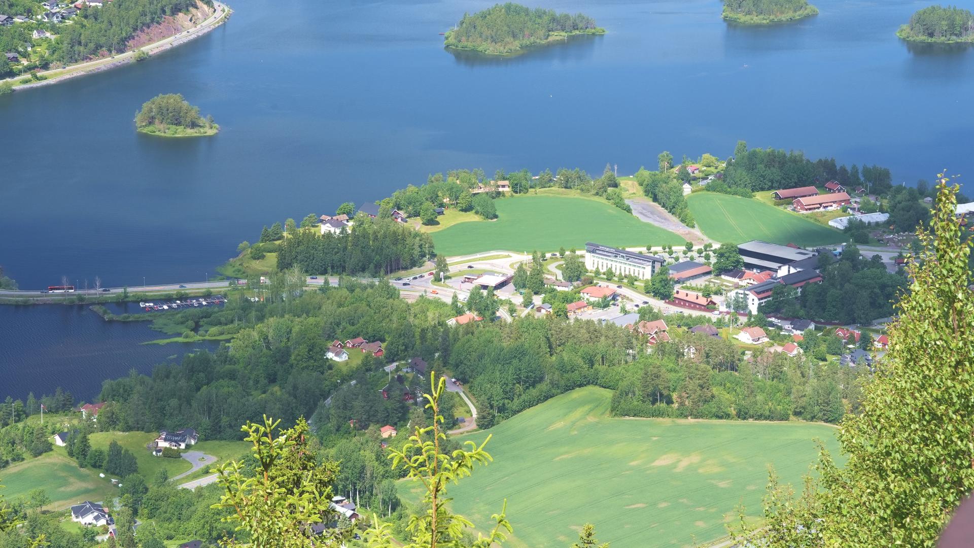
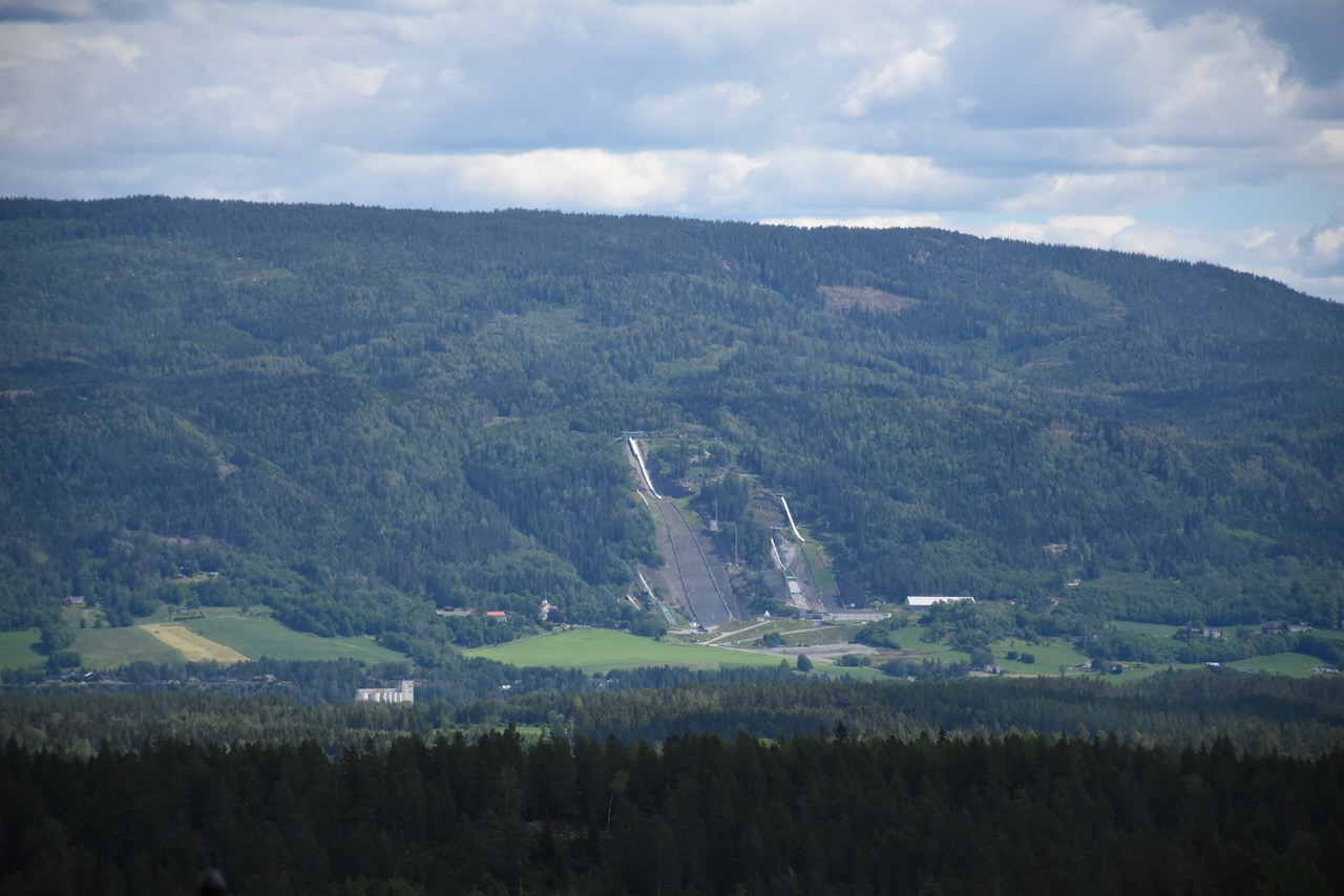
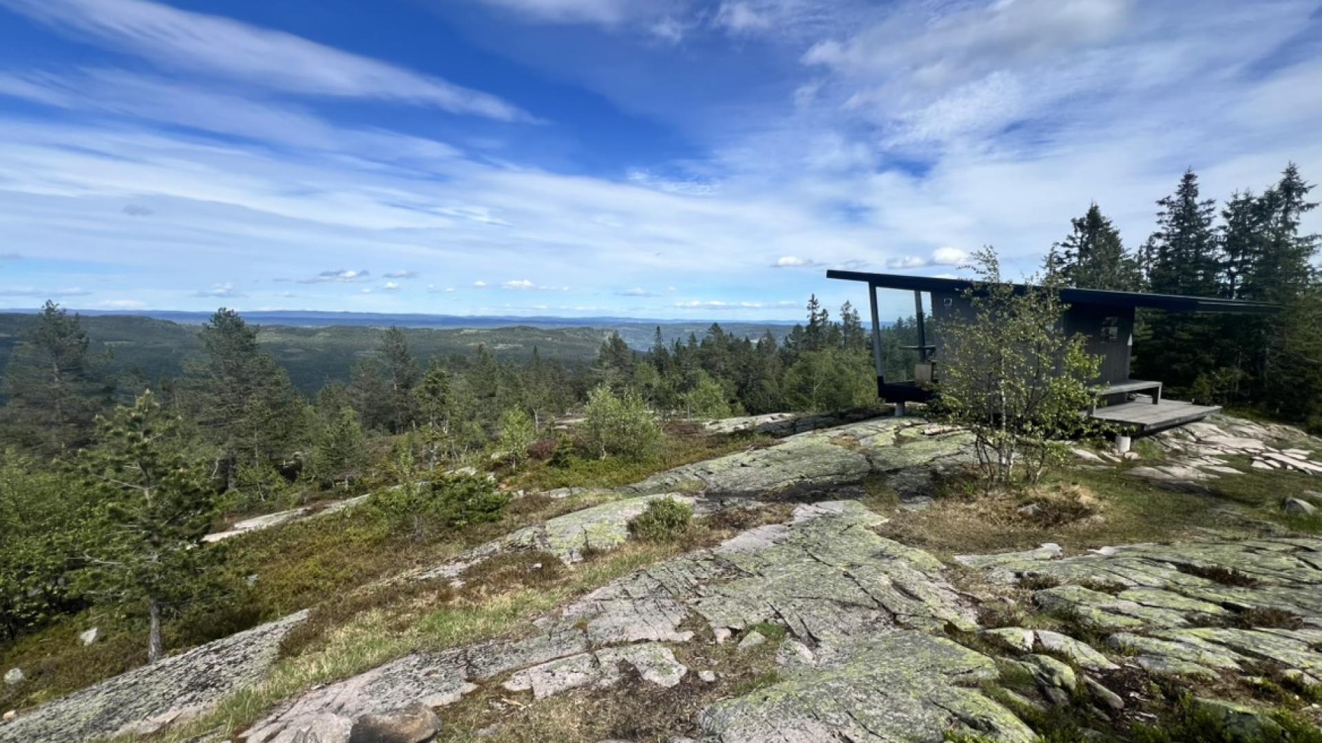
The eastern shore offers the best views if you're driving. The route between Vikersund and Åsa covers 73 kilometres and takes about 90 minutes without stops. From Sundvollen you can hike up Krokkleiva, the old Bergen King's Road from 1793, to Kongens Utsikt at 484 metres. King Karl Johan visited in 1832 and gave the viewpoint its name. On clear days you can see all the way to Gaustatoppen in Telemark.
The island of Utøya lies in the lake near the Holsfjorden arm. It was the site of the 22 July 2011 terrorist attack. A national memorial opened at Utøyakaia on the mainland shore in 2022. See our separate entry about Utøya for more information.