Easy
Easy
Trollkirka (the Troll Church) is a system of three marble and limestone caves at 484 metres above sea level in Hustadvika municipality. The name comes from the cathedral-like interior of the main cave, where an underground waterfall drops 14 metres into a white marble pool. The walls and ceiling are polished smooth by millennia of water.
The lower cave is about 40 metres long in an S-shape. Above it, a second cave lets you look down at the waterfall from above. The upper cave consists of longer underground passages. The limestone has been slowly dissolved by acidic rainwater over thousands of years, creating these chambers in the mountain.
The hike from the marked parking lot takes about 90 minutes on a steep trail. Bring a headlamp and be prepared to get wet. The caves are not developed or lit; this is raw nature. The trail can be slippery in rain.
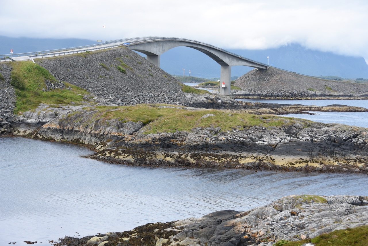
Trollkirka is about 25 minutes from the Atlantic Road and makes a good half-day trip combined with Averøy.
The lower cave is about 40 metres long in an S-shape. Above it, a second cave lets you look down at the waterfall from above. The upper cave consists of longer underground passages. The limestone has been slowly dissolved by acidic rainwater over thousands of years, creating these chambers in the mountain.
The hike from the marked parking lot takes about 90 minutes on a steep trail. Bring a headlamp and be prepared to get wet. The caves are not developed or lit; this is raw nature. The trail can be slippery in rain.
Trollkirka is about 25 minutes from the Atlantic Road and makes a good half-day trip combined with Averøy.