Easy
Easy
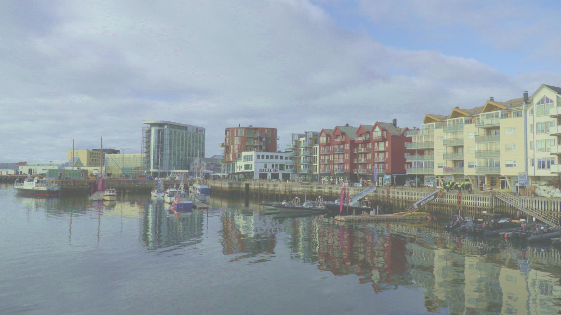
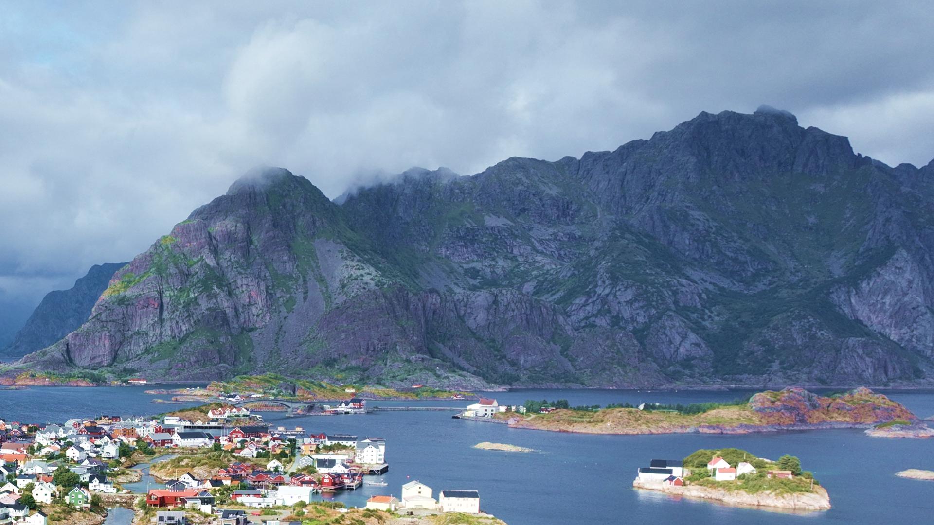
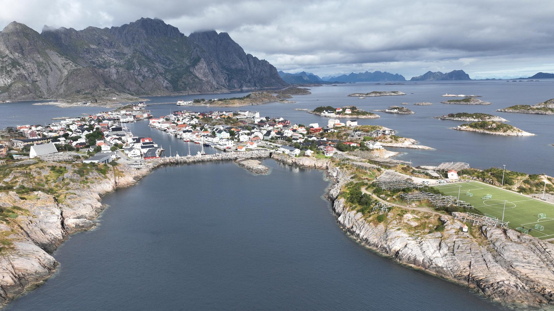
Tjeldbergtinden stands just 367 metres tall between Svolvær and Kabelvåg, but its central position makes it an excellent orientation hike. From the summit you can pick out most of the landmarks in the Austvågøya area: Svolvær harbour, Kabelvåg, the Henningsvær islands, and the dramatic peaks rising inland.
The trail takes roughly two hours for the round trip and presents no major technical challenges. This makes it a popular first-day hike for visitors who have just arrived and want to get their bearings, or a warm-up before tackling the steeper summits nearby. The trailhead is easily reached from both Svolvær and Kabelvåg.
The trail takes roughly two hours for the round trip and presents no major technical challenges. This makes it a popular first-day hike for visitors who have just arrived and want to get their bearings, or a warm-up before tackling the steeper summits nearby. The trailhead is easily reached from both Svolvær and Kabelvåg.