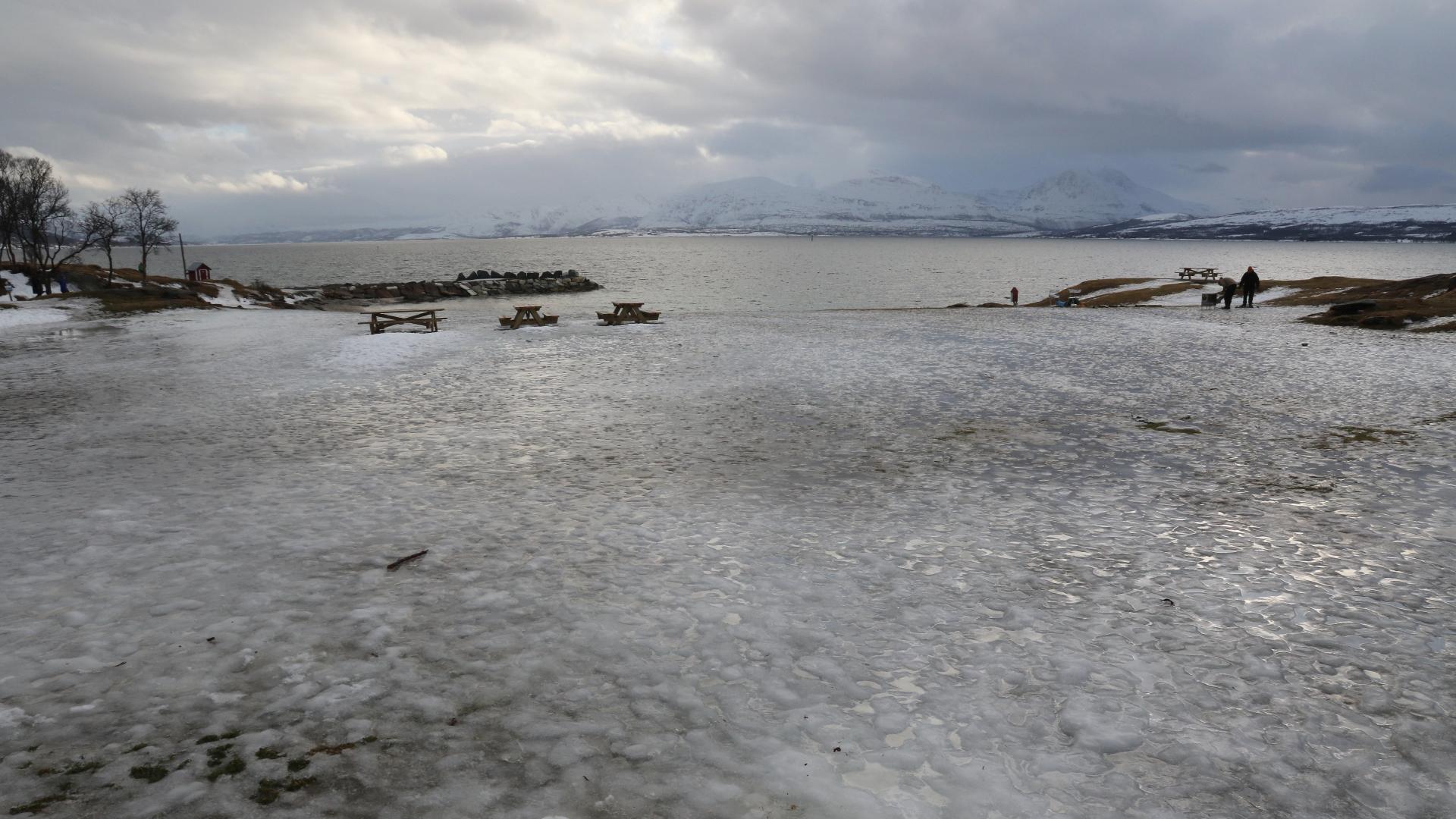
The Lyngen Line was the last German defensive position in Norway. In late 1944, as Soviet forces advanced through Finnmark, the Wehrmacht retreated over a thousand kilometers to the natural fortress created by the Lyngen Alps. Everything north and east of this line was destroyed in a scorched-earth campaign. More than 10,000 buildings were burned across Finnmark and northern Troms, and some 45,000 people were forcibly evacuated from their homes. Soviet prisoners of war built the fortifications in extreme cold and winter darkness. The largest visitable ruin is Spåkenes coastal fort, on a peninsula extending into Lyngenfjorden near Djupvik. Four bunker complexes housed guns with a range of 23 kilometers, enough to hit any ship off the tip of the Lyngen peninsula. A POW camp stood alongside the fort, holding Soviet, Yugoslav, and Polish prisoners. Two marked hiking trails now lead through the ruins, with drawings and accounts telling the story. The Bollmannveien, a road built by prisoners as part of the line near Skibotn, is another accessible trail. After the war, NATO reused the Lyngen Line concept. Nearly 300 Cold War bunkers were built in the same area to defend against a possible Soviet invasion, including coastal forts at Breiviknes and Årøybukt. The last of these was decommissioned in the early 2000s.
📜 History
Troms
Fjord
The Lyngen Line
Open in map
30 minutes
Get the free Xplore Norway app
Hear every place narrated automatically as you drive, with offline maps for all of Norway.
- Automatic GPS audio guide
- Offline maps for all of Norway
- Free to download
1596 places across Norway