Easy
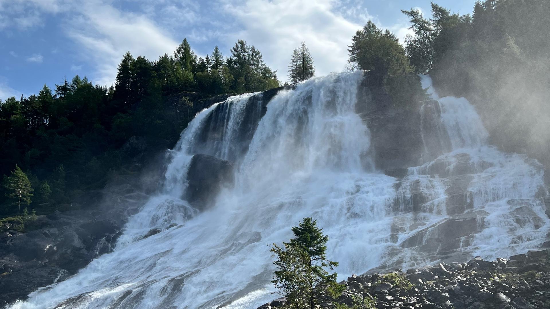
Easy On the western shore of Sandvinvatnet, Strondsfossen twists its way down into the lake. It is fed by meltwater from the Folgefonna glacier and is said to drop around 500 metres in total, though this is difficult to verify.
From Rv 13 on the eastern shore, you can see it across the lake, with farm buildings at its base that give a sense of scale. But to get closer, you need to drive around to the western side of Sandvinvatnet to Strond, and then hike from there.