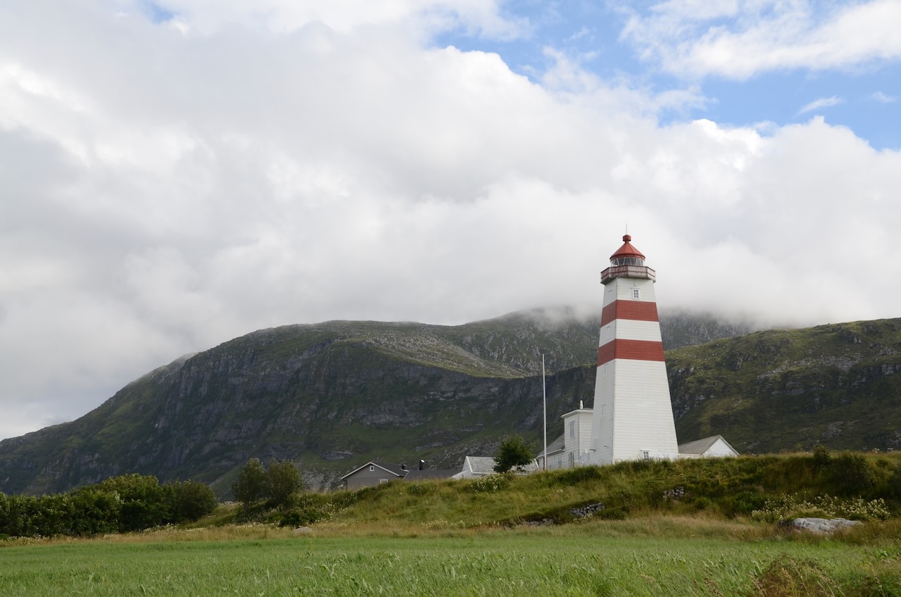
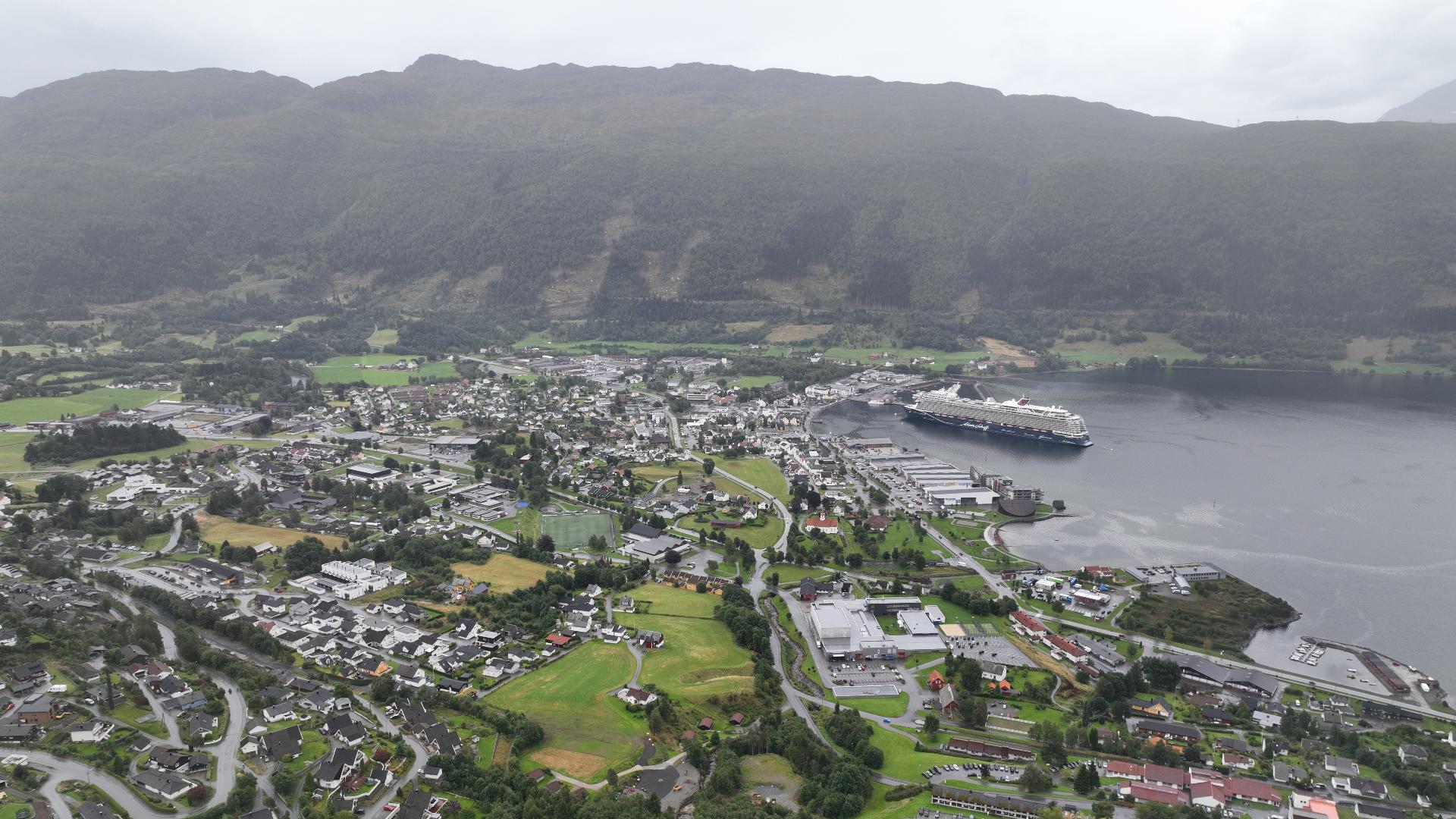
Nerlandsøya is the second largest island in Herøy municipality, connected by bridge to Fosnavåg. Most tourists drive straight through on their way to Runde, but the island has a couple of reasons to stop.
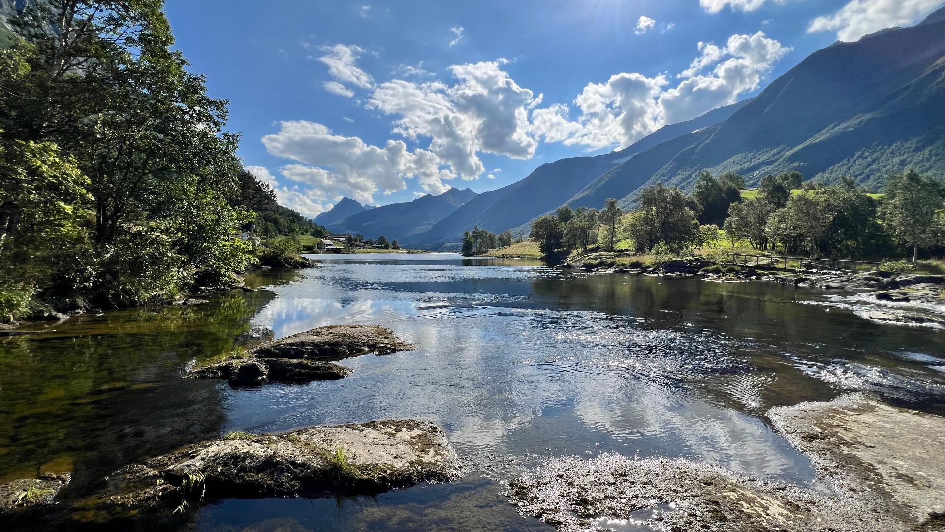
On the western side, facing the open Atlantic, is Mulevika. It is a bay with fine sand and shallow water, popular with locals for swimming on warm days. Be aware that the amount of sand changes from year to year. Atlantic swells can wash it away overnight and build it back up again over months. The road through the village of Kvalsvik ends at a car park overlooking the bay. From there, walk down the path to the water. It is also the starting point for the Kvalsvikryggen ridge walk, an 8.5-kilometre hike along rugged cliffs with views towards Runde and the Sunnmøre Alps. Allow about 3.5 hours.
This is also where the Kvalsund ship was found in 1920, one of the most important pre-Viking Age boat discoveries in Scandinavia. That story is covered in the Herøy Kystmuseum point of interest.