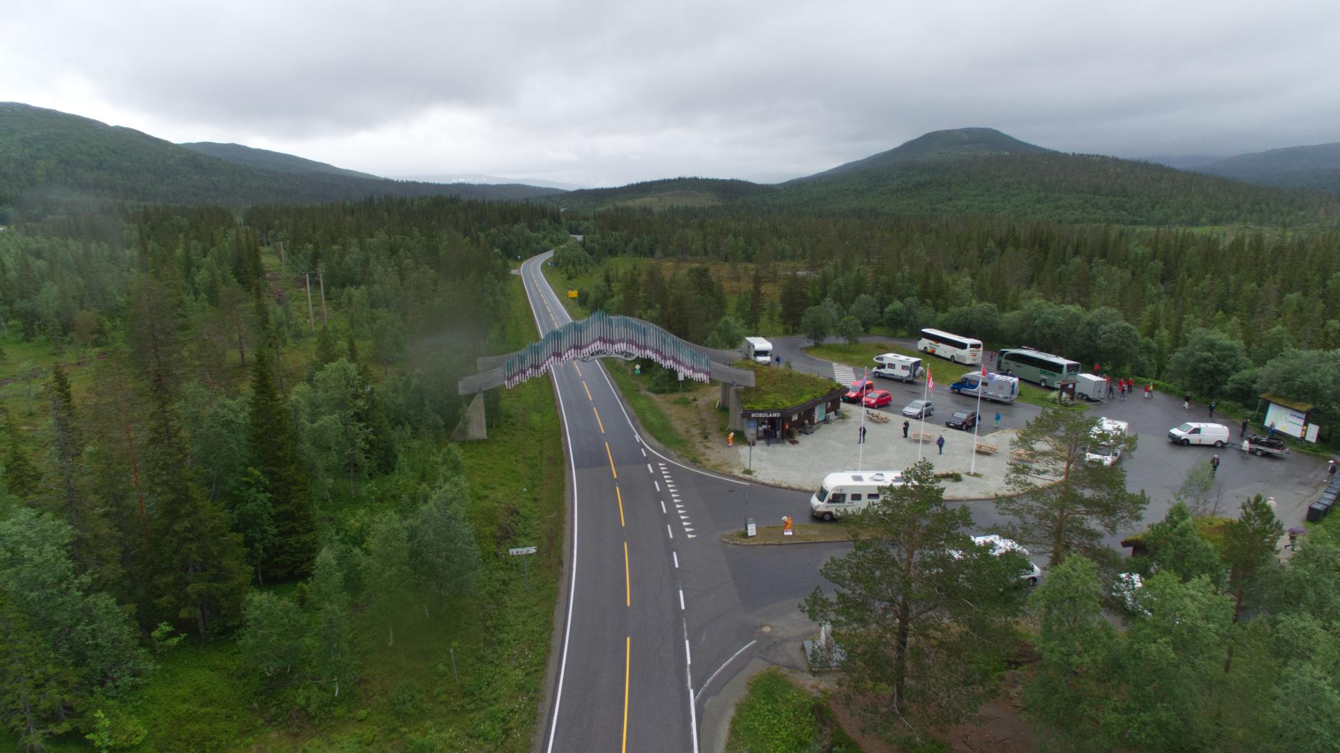
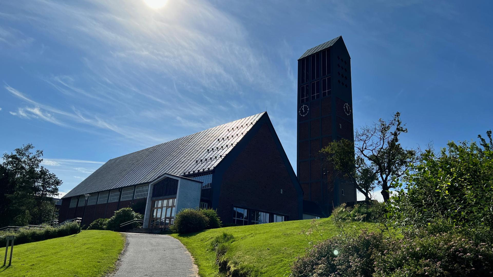
Namsskogan is one of those places where arriving feels like an achievement. After a long stretch of forest and river with no sign of habitation, the village appears around a bend in the Namsen, population 233, built partly on an island in the middle of the river. The name simply means "Namsen forest," and that is an accurate description of the 1,353 square kilometres surrounding it: spruce, birch and mountain plateau with 0.6 inhabitants per square kilometre. The municipality was carved out of Grong in 1923 and grew through forestry and mining. Skorovas Gruber, a copper and zinc mine about 20 kilometres east, operated until 1984, with ore transported to the coast by a 44.5-kilometre aerial tramway to Innerfolda. When the mine closed, the population began a decline from nearly 1,800 to around 800 today. The Nordlandsbanen arrived in 1940, giving the village its railway station and connecting it to Trondheim and eventually Bodø. More recently, Namsskogan found an unlikely second act: Bitzero built a 50,000-square-metre data centre here, drawn by cheap hydropower from the nearby Tunnsjødal plant and cool air that reduces cooling costs. With capacity planned up to 315 megawatts, the facility brought 11 million kroner into the municipal treasury in 2023 alone, a substantial sum for a community this size.
🏘️ Town
Trøndelag
Valley
Namsskogan
Open in map
15 minutes
Questions & Answers
Are there services in Namsskogan village? ▾
There is a petrol station, a small grocery shop and a few places to eat. For anything beyond basics, Grong (about 60 km south) is the nearest town with fuller services.
Get the free Xplore Norway app
Hear every place narrated automatically as you drive, with offline maps for all of Norway.
- Automatic GPS audio guide
- Offline maps for all of Norway
- Free to download
1596 places across Norway