Difficult
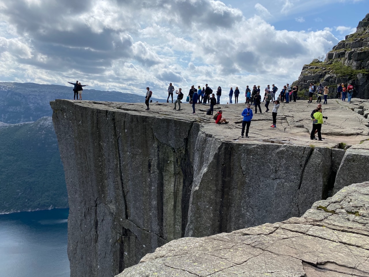
Kjerag is a granite massif on the south side of the Lysefjord, rising to 1,132 meters above sea level. The main attraction is Kjeragbolten, a boulder wedged in a crevice about 1,000 meters above the fjord. Standing on it makes for an iconic photo, but there is no railing and the drop on both sides is fatal.
The hike starts from Øygardstøl at the top of Lysevegen. It is 5.5 kilometers each way with 750 meters of elevation gain. Allow 6 to 10 hours for the round trip. The trail crosses three ridges with steep sections equipped with chains and metal footholds. In wet conditions the rock becomes extremely slippery. Snow can block the trail well into June.
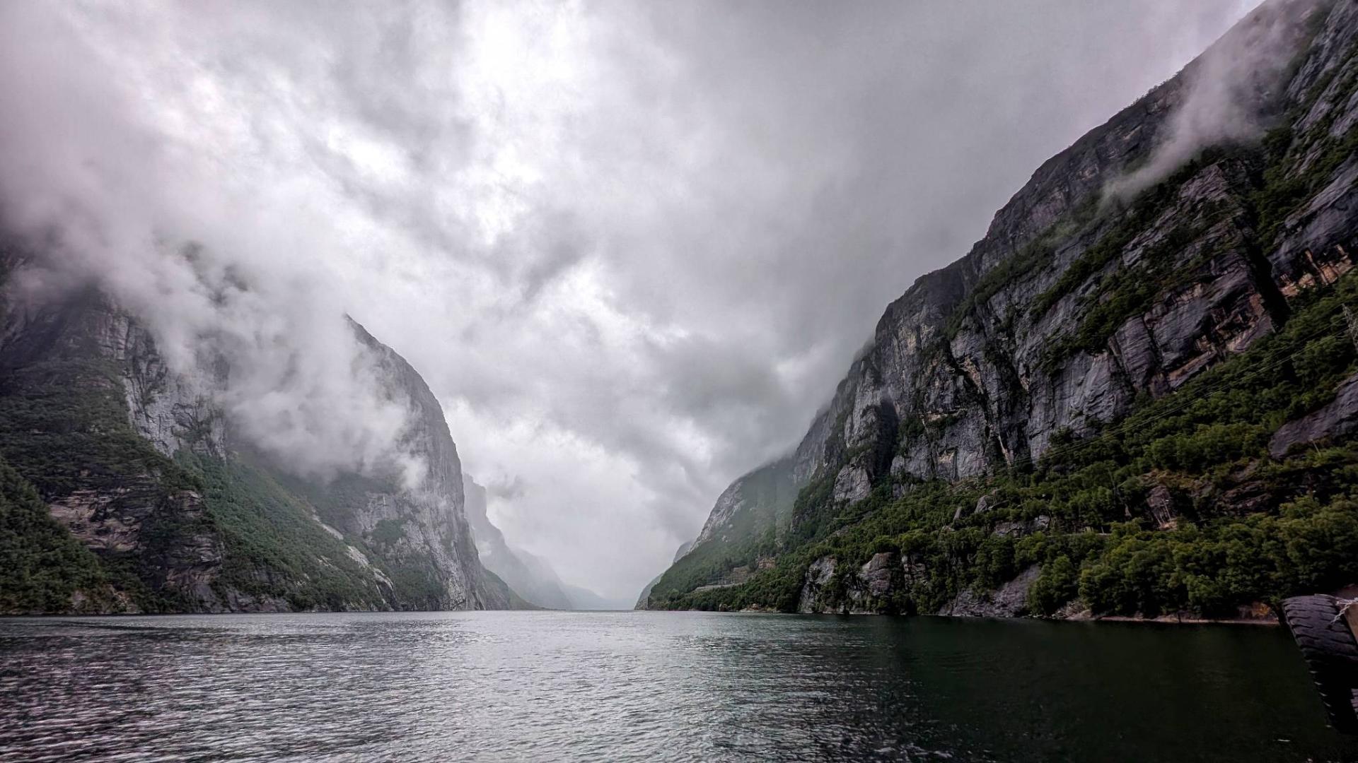
People have died here. The cliff edges have no barriers and the drops are vertical. Do not attempt this hike in rain, fog, or if there is snow on the trail. Wear proper hiking boots, bring enough food and water, and start early. The trail is a designated Nasjonal Turiststi.
Kjerag was also one of the world's most popular BASE jumping locations until it was discouraged due to fatalities. Today most visitors come for the hike and the boulder photo.
Parking at Øygardstøl fills up fast in summer. There is a shuttle bus from Lysebotn. The season runs roughly from June to September, depending on snow conditions.
The hike starts from Øygardstøl at the top of Lysevegen. It is 5.5 kilometers each way with 750 meters of elevation gain. Allow 6 to 10 hours for the round trip. The trail crosses three ridges with steep sections equipped with chains and metal footholds. In wet conditions the rock becomes extremely slippery. Snow can block the trail well into June.
People have died here. The cliff edges have no barriers and the drops are vertical. Do not attempt this hike in rain, fog, or if there is snow on the trail. Wear proper hiking boots, bring enough food and water, and start early. The trail is a designated Nasjonal Turiststi.
Kjerag was also one of the world's most popular BASE jumping locations until it was discouraged due to fatalities. Today most visitors come for the hike and the boulder photo.
Parking at Øygardstøl fills up fast in summer. There is a shuttle bus from Lysebotn. The season runs roughly from June to September, depending on snow conditions.