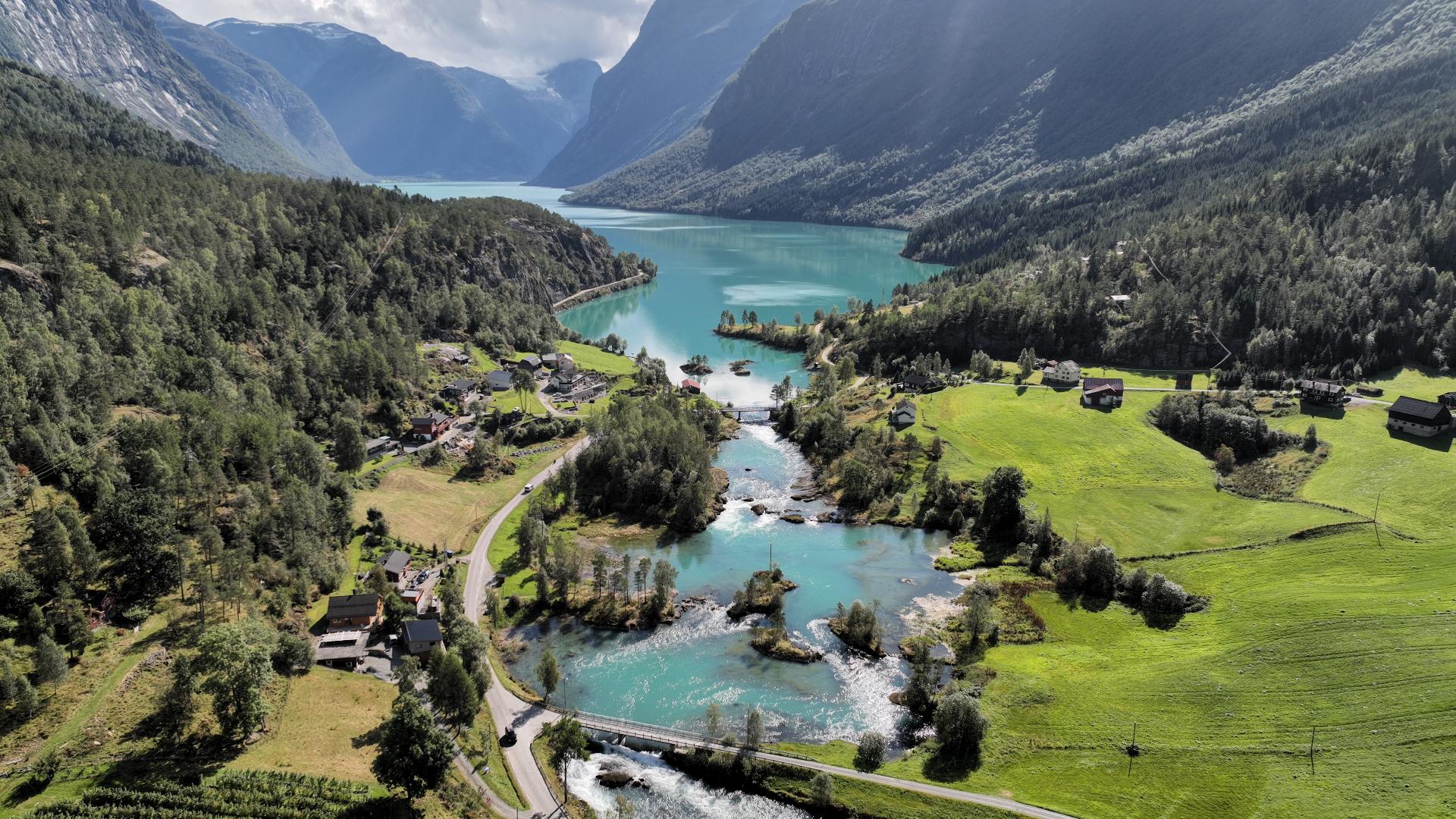
Jostedalsbreen is the largest glacier on mainland Europe, covering 458 square kilometres. The national park surrounding it was established in 1991. Around 50 glacier arms flow down from the ice cap into the valleys below, and about 20 of them are named.
You cannot simply walk onto the glacier. All glacier hiking requires a certified guide. The ice is full of crevasses that can be hidden by snow bridges, and conditions change constantly. People have died crossing safety lines. The glacier moves about a metre per day, and ice can calve at any moment. Take this seriously.
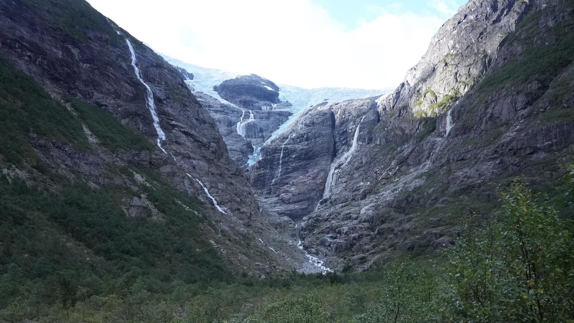
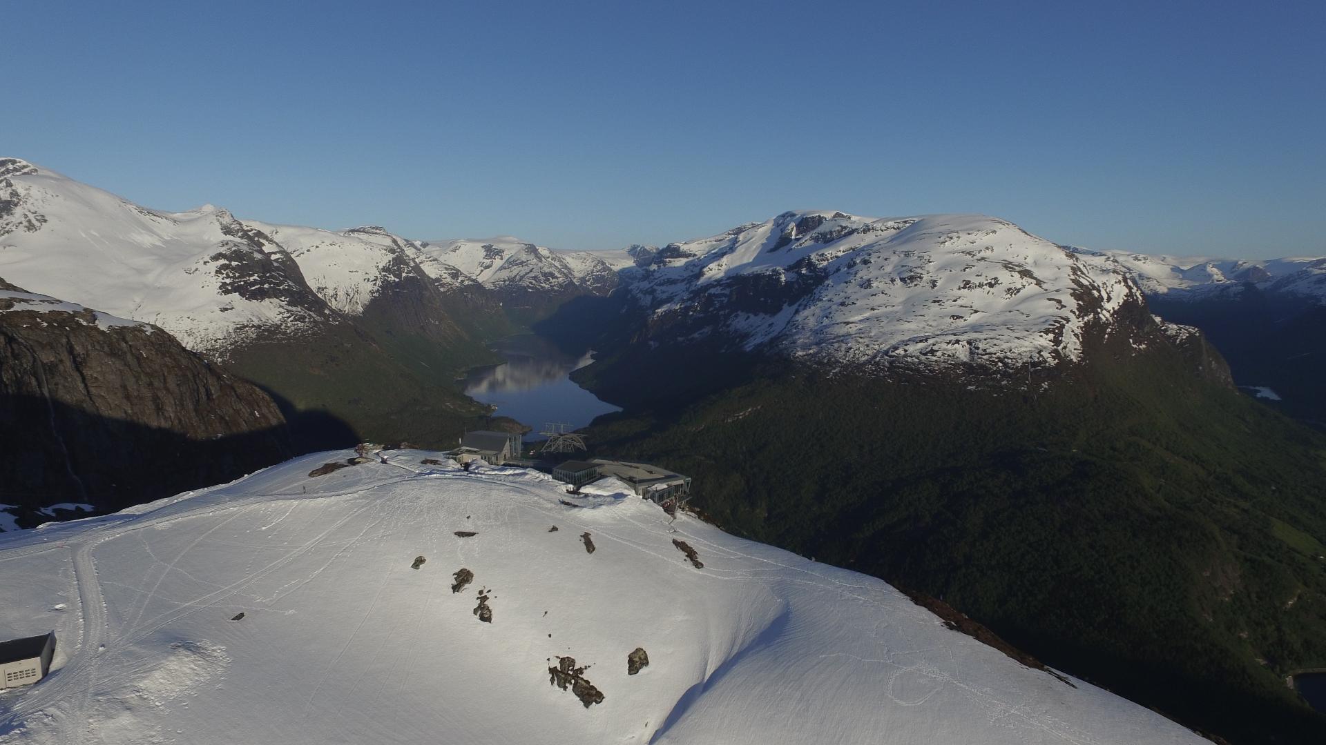
The ice cap itself sits at around 1,500 to 2,000 metres and is largely inaccessible except to experienced mountaineers. What visitors see are the outlet glaciers: tongues of ice that flow down into valleys where they can be approached on foot or by boat.
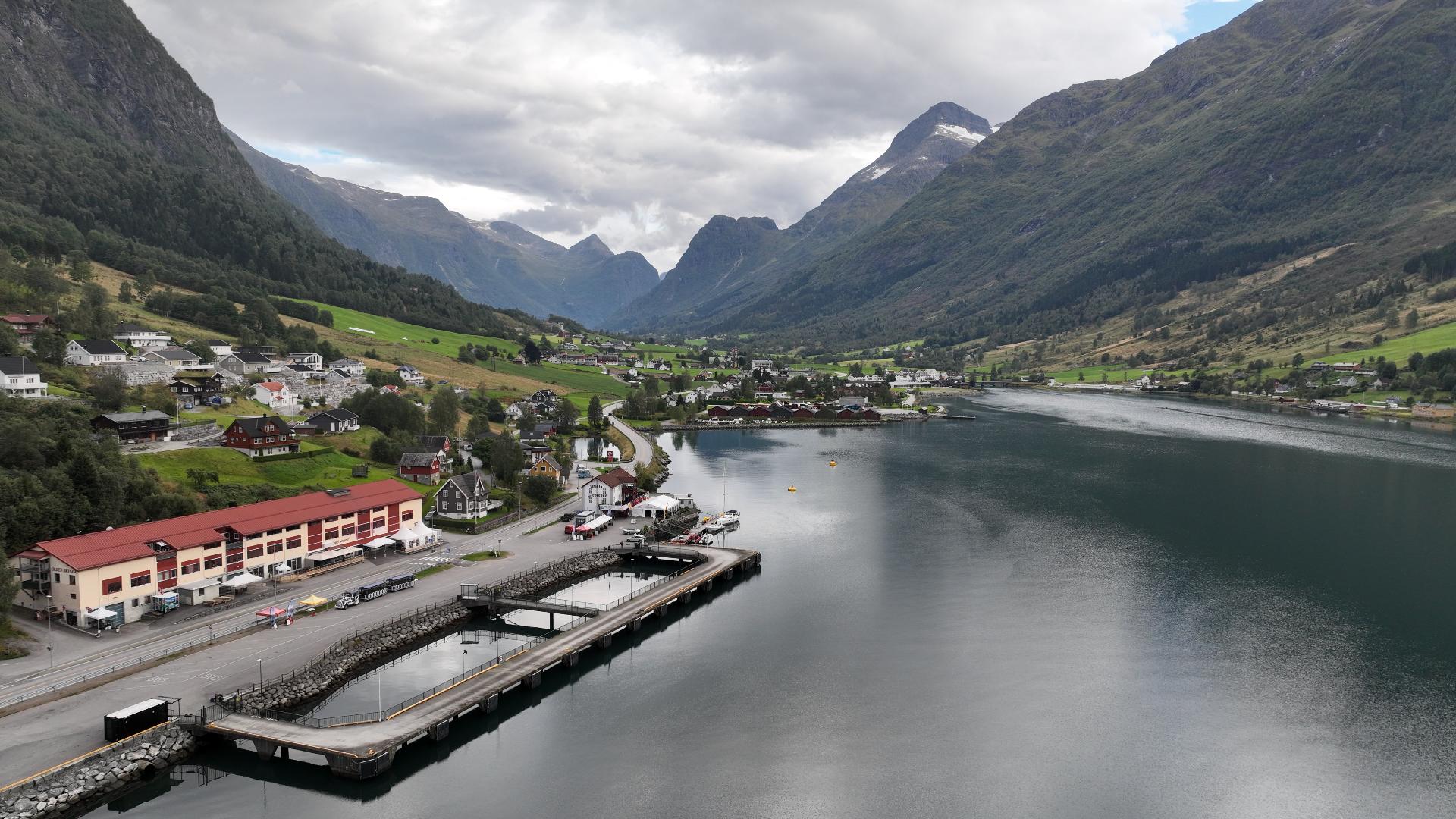
The most visited arms from the Sognefjord side are Nigardsbreen (guided walks available), Bøyabreen (visible from the road), Bergsetbreen (one-hour walk), and Austdalsbreen (icebergs, kayak tours). From the Nordfjord side, Briksdalsbreen and Kjenndalsbreen are the main draws.
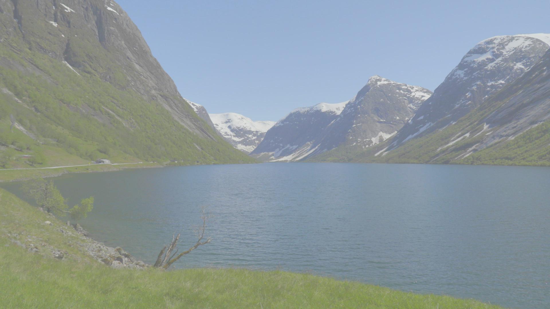
The glacier is dying. A 2025 study projects that Jostedalsbreen will lose 12 to 74 percent of its volume by 2100, depending on emissions. Under current pledges, it will be roughly halved. All outlet glaciers have been receding at unprecedented rates since 2000. Nigardsbreen reached its lake at the turn of the millennium. Today, it takes over an hour to walk to the glacier front from the same point. What you see today will look very different in 20 years.
You cannot simply walk onto the glacier. All glacier hiking requires a certified guide. The ice is full of crevasses that can be hidden by snow bridges, and conditions change constantly. People have died crossing safety lines. The glacier moves about a metre per day, and ice can calve at any moment. Take this seriously.
The ice cap itself sits at around 1,500 to 2,000 metres and is largely inaccessible except to experienced mountaineers. What visitors see are the outlet glaciers: tongues of ice that flow down into valleys where they can be approached on foot or by boat.
The most visited arms from the Sognefjord side are Nigardsbreen (guided walks available), Bøyabreen (visible from the road), Bergsetbreen (one-hour walk), and Austdalsbreen (icebergs, kayak tours). From the Nordfjord side, Briksdalsbreen and Kjenndalsbreen are the main draws.
The glacier is dying. A 2025 study projects that Jostedalsbreen will lose 12 to 74 percent of its volume by 2100, depending on emissions. Under current pledges, it will be roughly halved. All outlet glaciers have been receding at unprecedented rates since 2000. Nigardsbreen reached its lake at the turn of the millennium. Today, it takes over an hour to walk to the glacier front from the same point. What you see today will look very different in 20 years.