Difficult
A 1,080-metre summit above the western shore of Sørfjorden, Hanakamb has been called a lesser-known alternative to Trolltunga. The round trip is roughly 9 kilometres with about 1,060 metres of elevation gain, typically taking four to six hours. The trail climbs steeply from near sea level through forest and open mountain terrain to a rocky summit with expansive views across Sørfjorden, Hardangerfjorden, and the surrounding peaks including Folgefonna glacier.
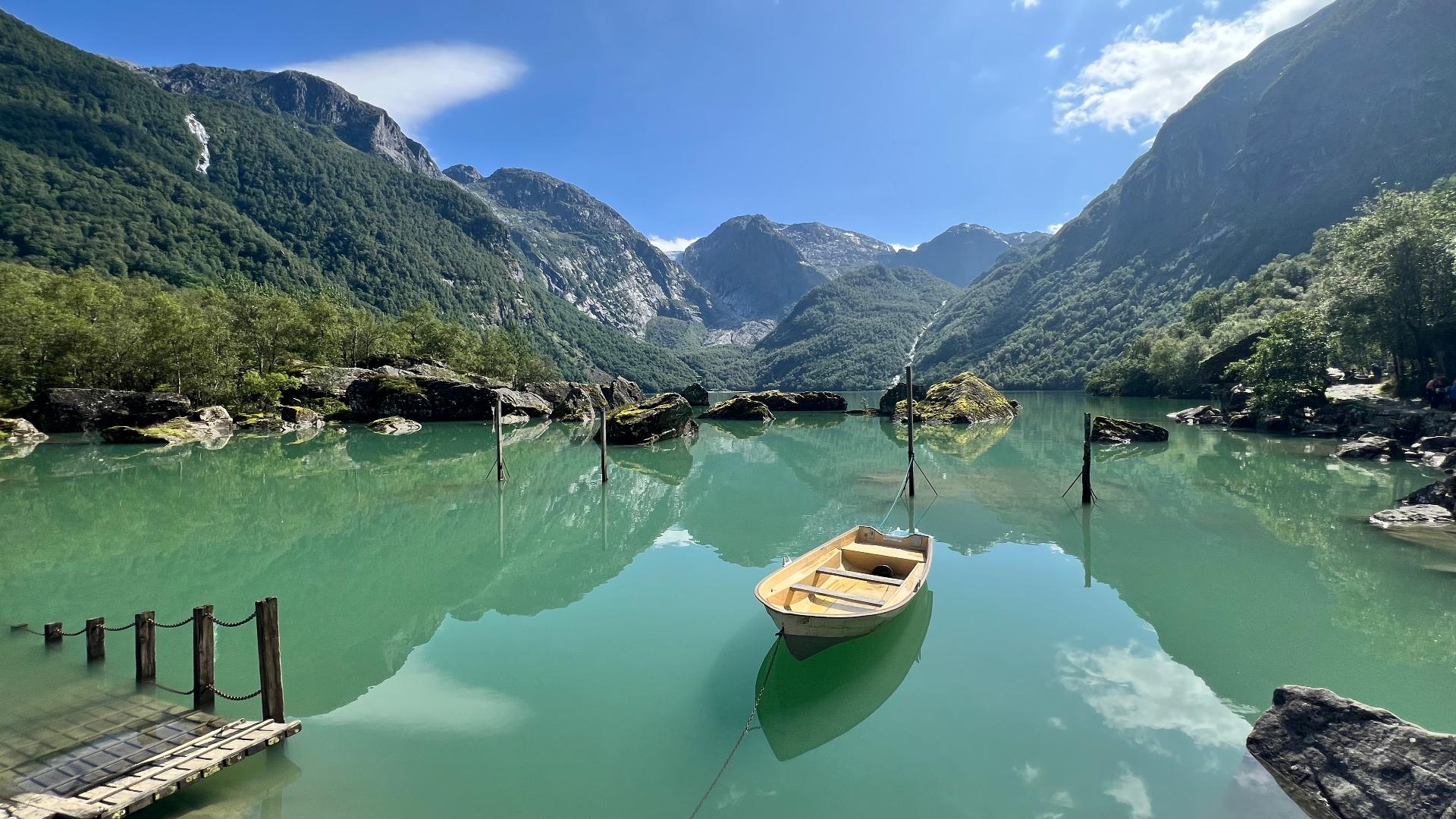
At about 660 metres elevation, the trail passes Raundalsvatnet, a mountain lake known for its striking turquoise colour caused by glacial sediment. The lake sits in a lush green valley and makes a natural rest point before the final steep push to the summit. Above the lake, the terrain becomes rocky and exposed, with some scrambling sections. The summit ridge offers a panoramic view towards Odda to the south and Lofthus and Oksen to the north.
The hike starts at Kvitno power station, about ten minutes' drive from Odda centre along road 550. The first 300 metres of elevation follow a construction road before a trail marked with light blue blazes branches right into the forest. Parking is along the main road on the upper side below the power station. The trail is not formally waymarked by DNT but is well-worn and followable in good conditions. In mist or rain, route-finding on the upper mountain becomes more difficult.