Difficult
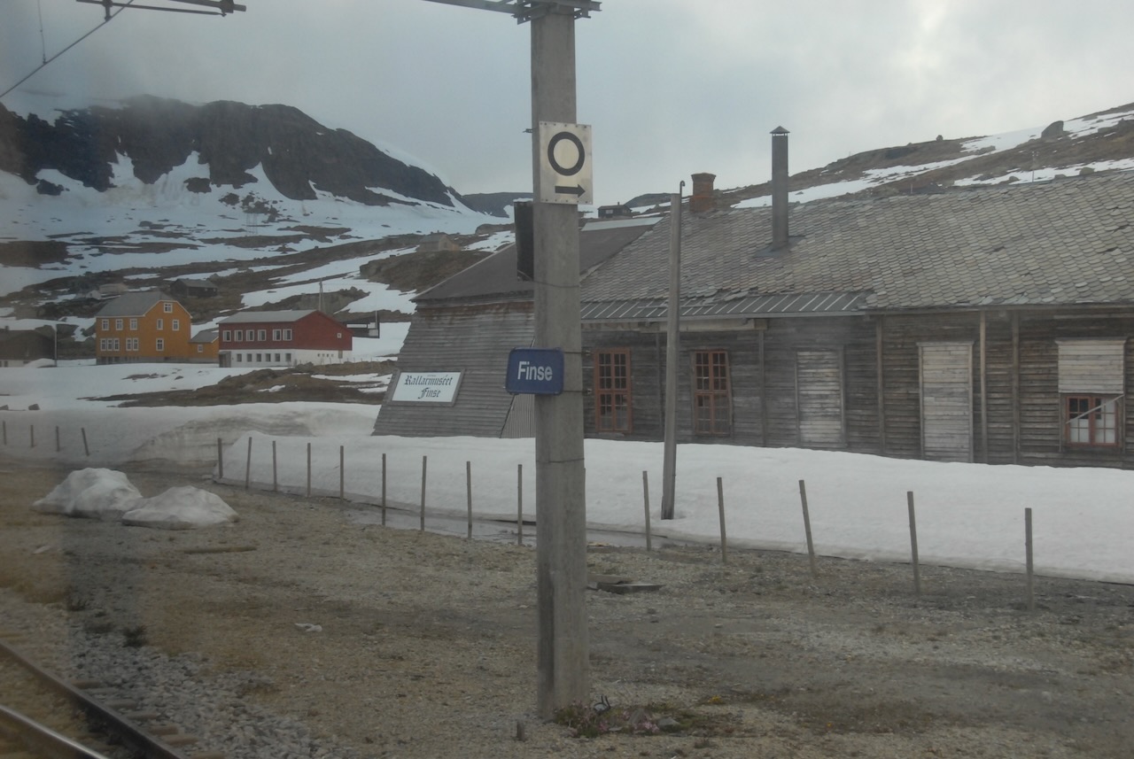
Hallingskarvet is one of those mountains you recognise even if you have never been there. The long, flat-topped ridge rises abruptly above Geilo and the Bergensbanen railway, its cliff face stretching for nearly 30 kilometres. The national park, established in 2006, covers 450 square kilometres of high alpine terrain.
The mountain is a geological outlier. While the surrounding peaks were rounded by glaciers, Hallingskarvet's summit plateau survived as a nunatak, poking above the ice sheet during the last ice age. This means the flat top is pre-glacial bedrock, some of the oldest exposed surface in Scandinavia. The plateau reaches 1,933 metres at its highest point, Folarskardnuten.
Up in Folarskardet, at 1,620 metres, stands the oldest shelter on the mountain: Lordehytta, a small stone hut built around 1880 for the Irish Lord Garvagh. He enlisted a local man, Lars Lein, to construct it as a base for his mountain excursions. The cabin has two rooms, an outer storeroom and an inner room with a fireplace, modelled on a traditional herder's summer shelter. It was fully renovated in 1990 and still serves as both a hiking destination and an emergency refuge, roughly three hours on foot from Haugastøl.
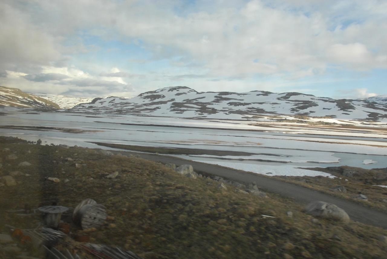
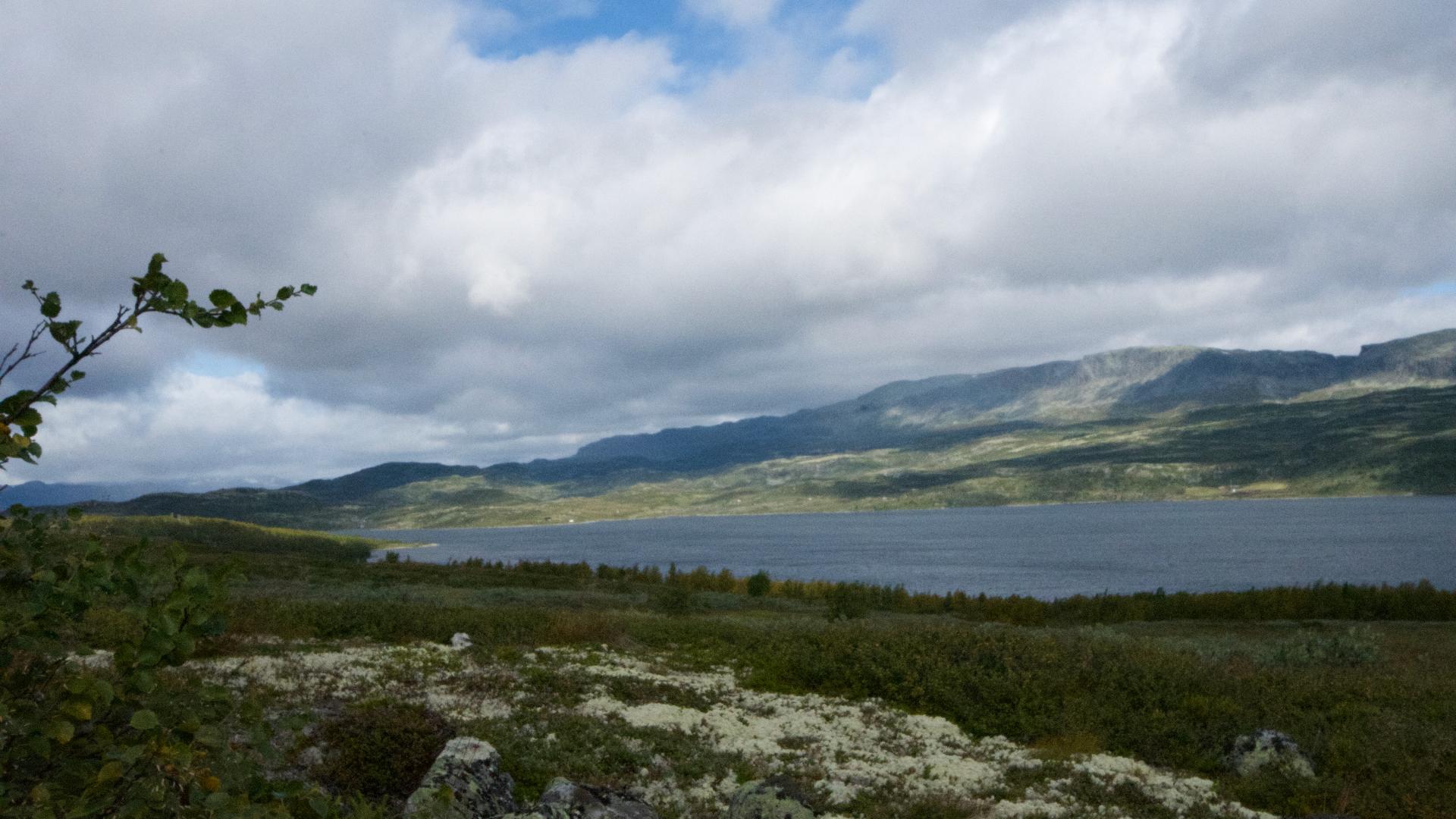
The park is popular for both summer hiking and ski touring. The classic route traverses the entire ridge from Prestholtseter in the east to Iungsdalen in the west, but even a short walk up from Geilo rewards with views across Hardangervidda and the Halling valley.
The mountain is a geological outlier. While the surrounding peaks were rounded by glaciers, Hallingskarvet's summit plateau survived as a nunatak, poking above the ice sheet during the last ice age. This means the flat top is pre-glacial bedrock, some of the oldest exposed surface in Scandinavia. The plateau reaches 1,933 metres at its highest point, Folarskardnuten.
Up in Folarskardet, at 1,620 metres, stands the oldest shelter on the mountain: Lordehytta, a small stone hut built around 1880 for the Irish Lord Garvagh. He enlisted a local man, Lars Lein, to construct it as a base for his mountain excursions. The cabin has two rooms, an outer storeroom and an inner room with a fireplace, modelled on a traditional herder's summer shelter. It was fully renovated in 1990 and still serves as both a hiking destination and an emergency refuge, roughly three hours on foot from Haugastøl.
The park is popular for both summer hiking and ski touring. The classic route traverses the entire ridge from Prestholtseter in the east to Iungsdalen in the west, but even a short walk up from Geilo rewards with views across Hardangervidda and the Halling valley.