Gamle Strynefjellsvegen is one of the oldest tourist roads in Norway. It runs 27 km between Grotli and Videsæter, and it is today designated as a National Scenic Route. But before all those labels were attached to it, this was simply the only drivable road connecting Eastern Norway with the Nordfjord coast.
The decision to build the road was taken in 1881. The villages on both sides of the mountains had been growing, and the old bridle paths used by horses and travellers on foot were no longer enough. Tourism was also picking up, and both sides wanted a proper road.
Construction started in 1889 and took five years. The workers were local men from Skjåk and the surrounding valleys, joined by Swedish labourers and construction workers from Gudbrandsdalen. They worked ten-hour days, building by hand in the style typical of the era — what's called a chaussée road. The stonework you still see along the road today, the carefully laid walls and the long rows of guard stones, was all done by hand. The guard stones served as barriers to keep horses and wagons from going over the edge.
The road was completed in 1894. At the county border, where the road crosses at Langvatnet lake, there is a stone marker inscribed with the year 1894 and the old county names: "Nordre Bergenhus Amt" on the western side and "Kristians Amt" on the eastern. Those names haven't been used for over a century, but the stone is still there.
For most of the 20th century this was the only way to drive between Skjåk and Stryn. The road climbs to 1,139 metres at its highest point near the Vassvendtjønnin lakes, which sit right on the watershed divide. Water falling on one side ends up in the fjords, water on the other side flows eastward.
In the early days, the road was closed every winter by snow. Clearing it was a massive effort. Up until the 1950s, as many as a hundred workers on each side would clear the road by hand with spades. That gives you an idea of how much snow falls up here.
Everything changed in 1977 when the modern Rv15 opened, running through three tunnels and providing year-round access between Skjåk and Stryn. The old road was no longer needed for everyday traffic. It could have been forgotten, but instead it was recognised for what it had become — a piece of road-building history running through some extraordinary mountain scenery.
In 1997 it was designated a tourist route, and in 2003 it was upgraded to a National Scenic Route. The road itself was listed as a protected cultural monument in 2009.
Today the Gamle Strynefjellsvegen is officially County Road 258. It's open during summer only, usually from around June to October depending on snow conditions. The Grotli side is gravel for about 17 km, while the Videsæter side is paved for the remaining 10 km. The county border at Langvatnet marks roughly where the surface changes. The road is narrow throughout, typically between 3.5 and 4.5 metres wide. There are vehicle restrictions on the Grotli section: maximum 8 metres length and 8 tonnes per axle. So if you're driving a large motorhome or towing a caravan, this road is not for you.
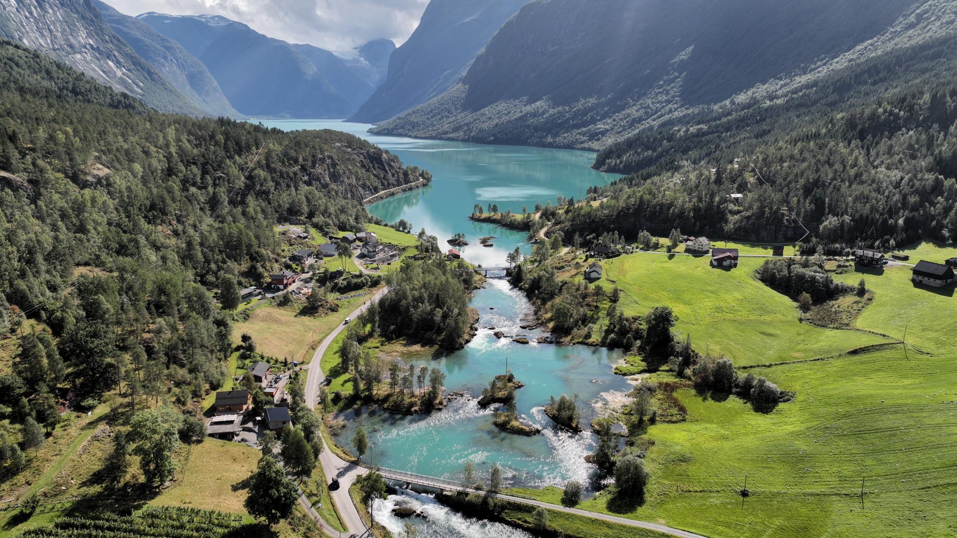
The landscape changes dramatically along the route. The Grotli side has the typical rounded, glacier-scoured shapes left behind by the ice age. It's open high mountain terrain with turquoise mountain tarns. Towards Videsæter, the landscape becomes steeper and more alpine, with deeper valleys dropping away.
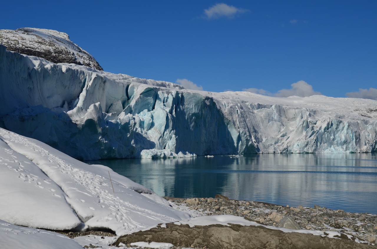
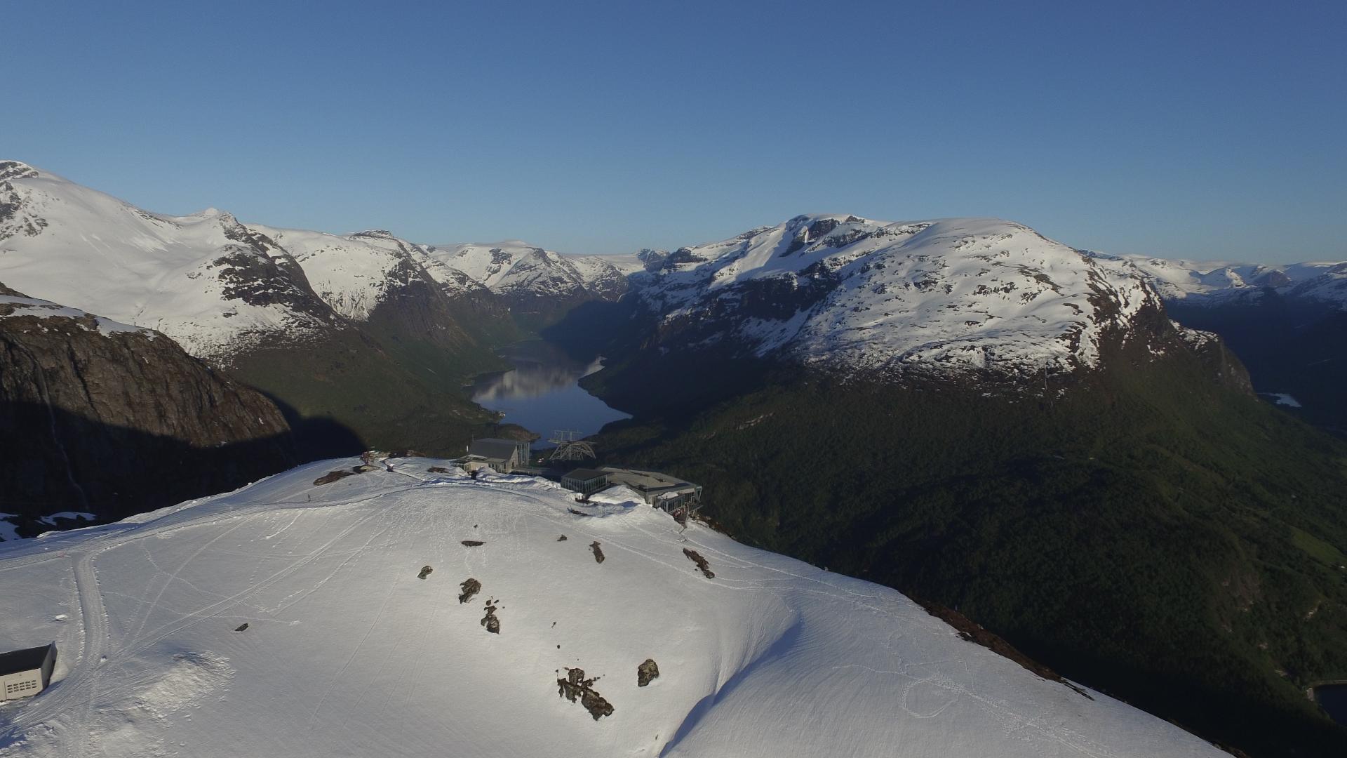
South of the road you can see the Tystigbreen glacier, which is actually an arm of the huge Jostedalsbreen, Europe's largest glacier. This glacier is also the reason there is a summer ski centre along the road.
On the Videsæter side of the road you'll pass two notable waterfalls. The Videfossen has a dedicated viewpoint designed by architects Jensen & Skodvin in 1997. The water has a distinctive blue-green colour. Near the bottom of the road, just outside the scenic route boundary, is the Øvstefossen, which plunges into the Hjelledalen valley. There's a 200-metre footpath with steel railings leading to the viewpoints. The parking is right along Road 15, about 350 metres from the Gamle Strynefjellsvegen turnoff.
One historical detail that's easy to miss: near the Videsæter end there is an old stone arch bridge called Jøl bru, dating from 1883 — so it actually predates the road itself. When the modern road was built alongside it, the old bridge ended up somewhat hidden. There are plans for a new viewpoint to make this piece of road-building craftsmanship visible again.
Cycling the Gamle Strynefjellsvegen is very popular. Many cyclists start from the Grotli side, to get the gravel section done on the gentler climb and enjoy the paved descent with the waterfalls and views opening up ahead. But it works in both directions.
The road is also worth visiting in autumn, when the birch turns yellow and orange against the grey rock. But whenever you come, check the opening status before you go. Snow can close the road early, and in some years the higher sections may stay closed well into July.