Florø is the westernmost town on the Scandinavian mainland. Unlike most Norwegian towns that grew organically over centuries, Florø was established by royal decree in 1860, founded on the back of the booming herring fisheries; the three herrings in the town's coat of arms tell that story. For generations, the economy ran on herring salting, shipbuilding, and coastal shipping.
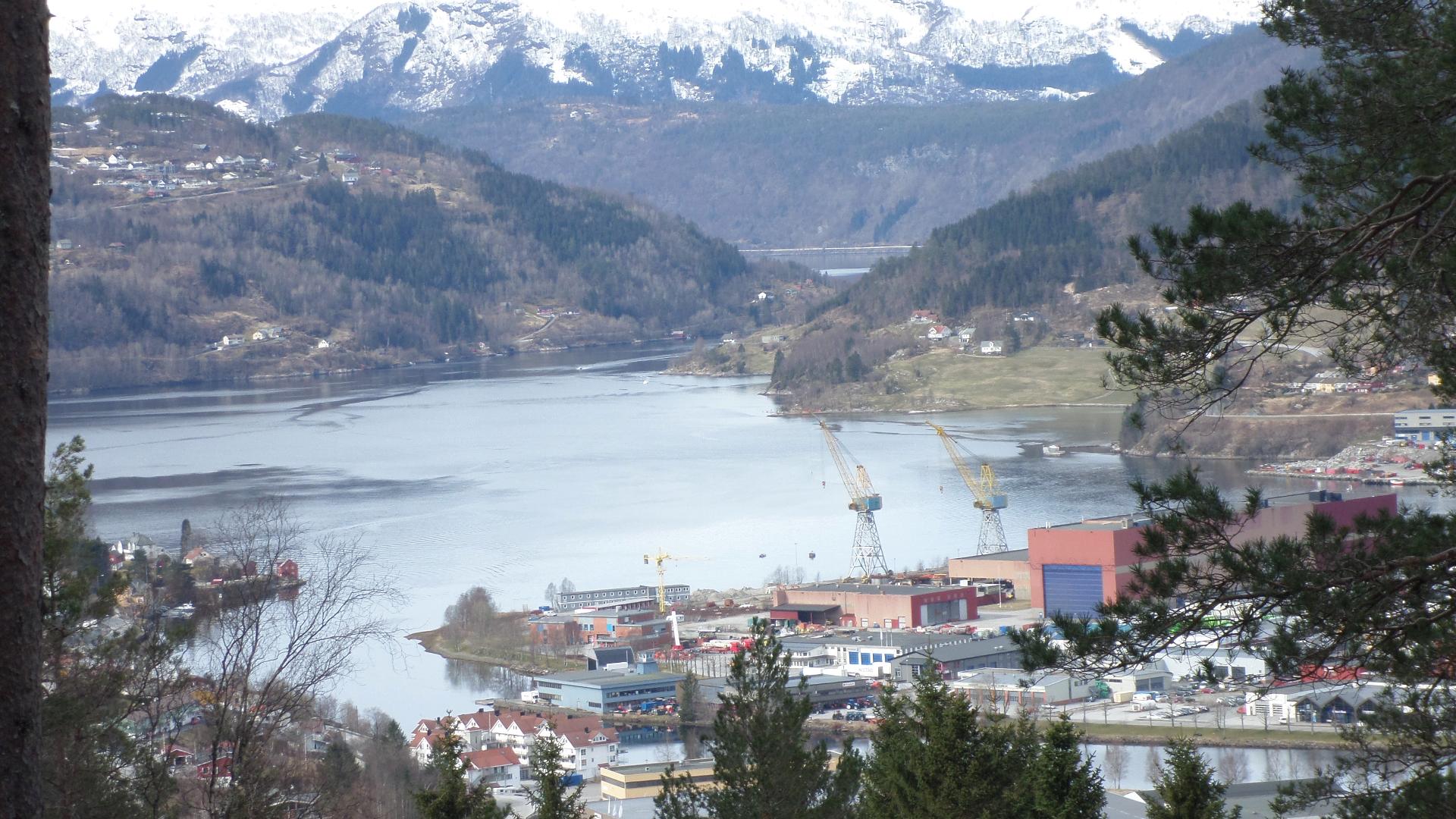
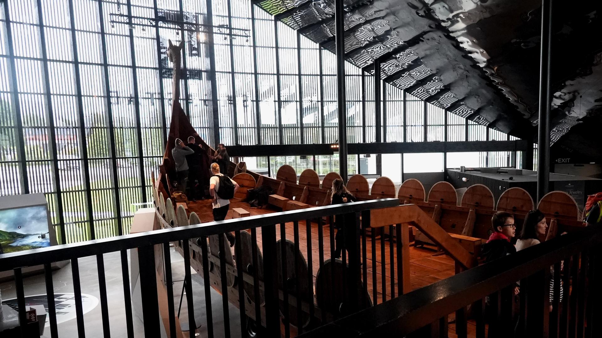
Today Florø is the administrative centre of Kinn municipality and a base for North Sea oil operations, adding a modern industrial layer to its fishing heritage. The Coastal Museum (Kystmuseet i Sogn og Fjordane) spreads across 18 acres of coastal landscape, with historic buildings, fishing villages, a boat collection including a mid-18th century sloop, and a major exhibition on the Snorre oil field that connects the town's maritime past to its petroleum present.
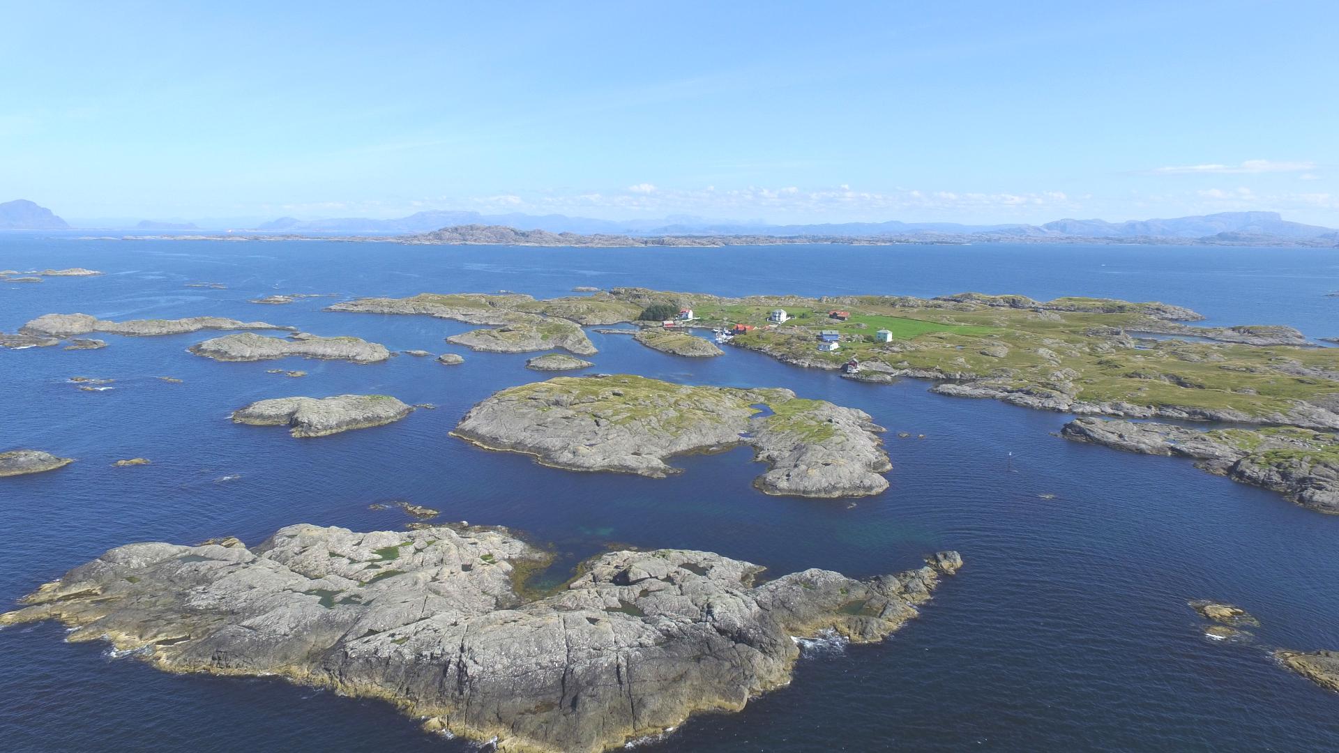
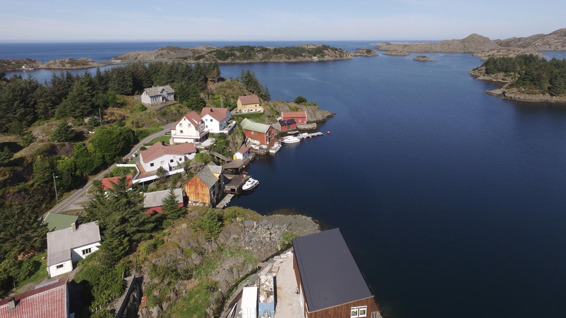
From Florø, boats run out to the island of Kinn, home to a 12th-century stone church and the dramatic mountain cleft Kinnaklova, which has served as a sailing landmark for centuries. The town also has the largest guest harbour in the area, right next to the main street.
Today Florø is the administrative centre of Kinn municipality and a base for North Sea oil operations, adding a modern industrial layer to its fishing heritage. The Coastal Museum (Kystmuseet i Sogn og Fjordane) spreads across 18 acres of coastal landscape, with historic buildings, fishing villages, a boat collection including a mid-18th century sloop, and a major exhibition on the Snorre oil field that connects the town's maritime past to its petroleum present.
From Florø, boats run out to the island of Kinn, home to a 12th-century stone church and the dramatic mountain cleft Kinnaklova, which has served as a sailing landmark for centuries. The town also has the largest guest harbour in the area, right next to the main street.