Very Difficult
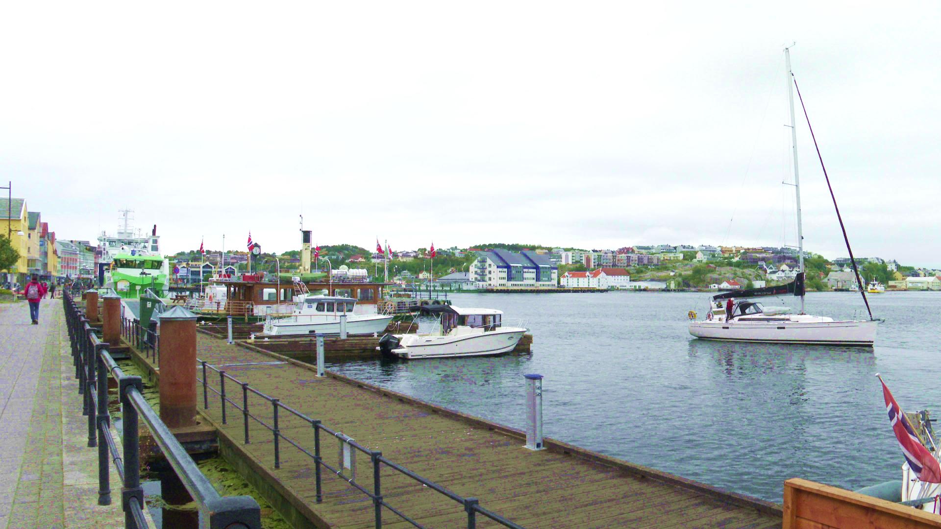
Fjordruta is one of Norway's official signature trails, a 150 km long-distance route stretching from Kvernberget airport in Kristiansund to Halsa on the Trondheim side. The trail threads together everything that defines Nordmøre: coastal islands, exposed ridges, deep fjord arms, river valleys and mountain plateaux, all on a single marked path.
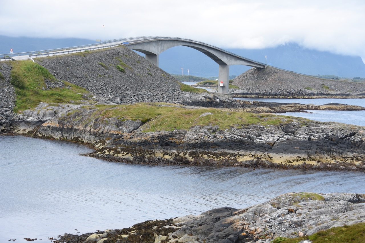
The route crosses Tustna, Stabblandet and Ertvågsøya before hitting the mainland around Aure, then continues inland through Surnadal, Trollheimen and Sunndalsfjella. Ferry rides connect the island sections. Along the way, 26 DNT cabins provide overnight shelter, each equipped with kitchens, bunks and often showers. Most hikers take four to seven days for the full trail, though the modular cabin spacing makes it easy to pick shorter sections.
The variety is the main draw. Within a single day you can walk from a windswept ocean headland to a sheltered birch forest by a mountain lake. The cumulative elevation gain is roughly 8,000 metres over the full distance, with the hardest sections on the Tustna island peaks. The trail is marked with red T-blazes and maintained by the local DNT chapter. Starting from Kristiansund means good transport links, and the endpoint at Halsa connects to the E39 highway.