 Difficult
 Dronningstien is one of Norway's most famous mountain trails, running 16 kilometres between Kinsarvik and Lofthus high above Sørfjorden. Queen Sonja officially opened it on 29 June 2013, and it remains one of her favourite hikes. It's the only trail in Norway marked with blue D letters instead of the usual red T. D for Dronning, which means queen.
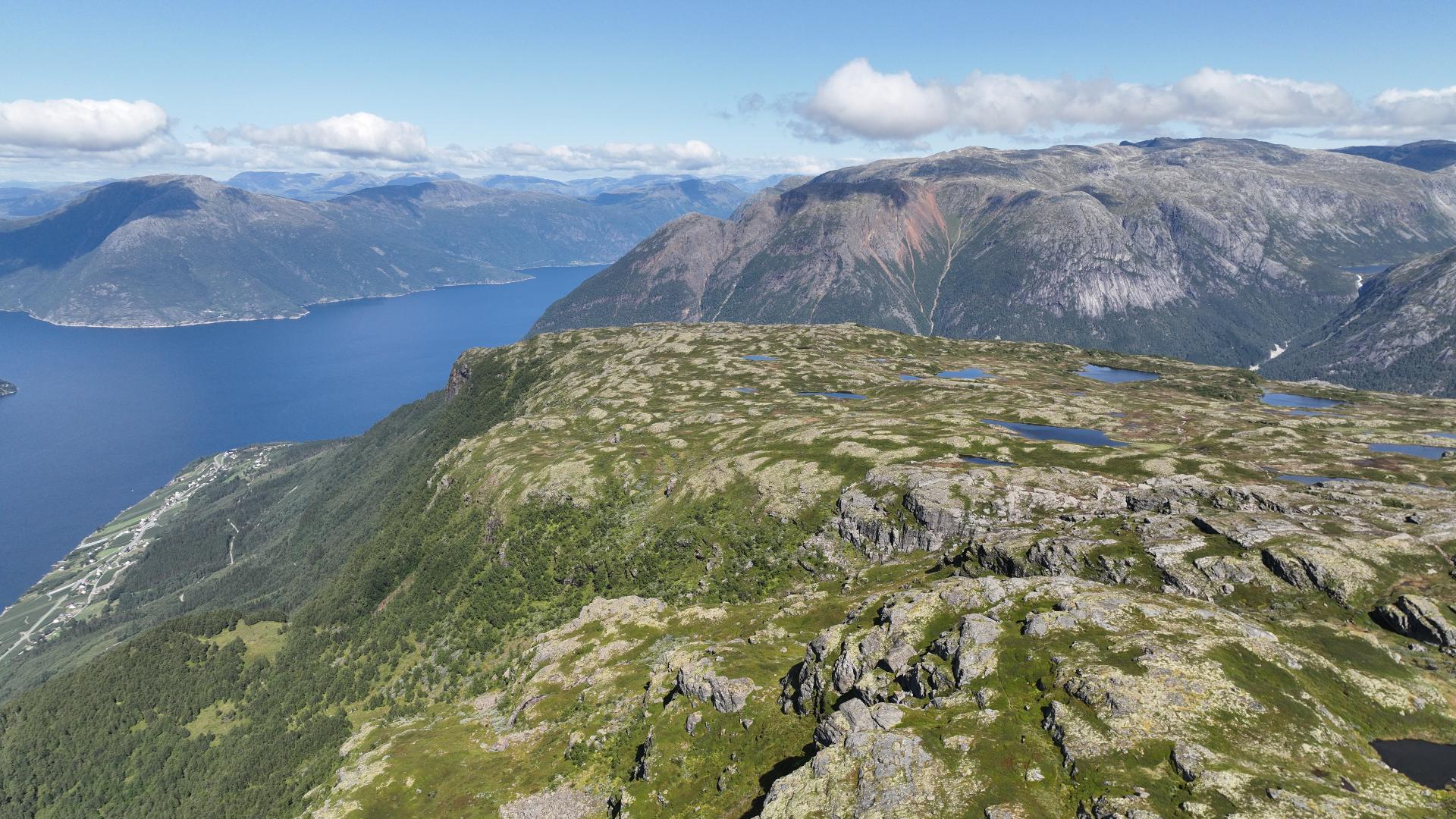
The hike takes 6 to 9 hours with 1,100 metres of elevation gain. Most people start from Røte car park above Kinsarvik. The first section is a steep gravel road up to Heng at 750 metres. From there the marked trail follows the edge of Hardangervidda. Unlike Trolltunga, where you walk for hours just for one photo at the end, Dronningstien rewards you the entire way. The fjord, the glacier, the orchards far below - it's all visible throughout the hike. The highest point reaches 1,100 metres.
The descent to Lofthus includes the Munketreppene, the Monk Stairs. These are 616 stone steps built in the 13th century by Cistercian monks from Opedal. The monks came from Lysekloster near Bergen, originally founded by English monks from Fountains Abbey in Yorkshire. Opedal was their branch farm. They needed access to Hardangervidda for hunting and grazing. The same monks introduced fruit cultivation to Hardanger. Their monastery closed during the Reformation in 1537, but their stairs remain.
Since this is a point-to-point hike, you'll need transport between start and finish. Shuttlebus Hardanger runs from late May to mid-October. Book in advance.