Difficult
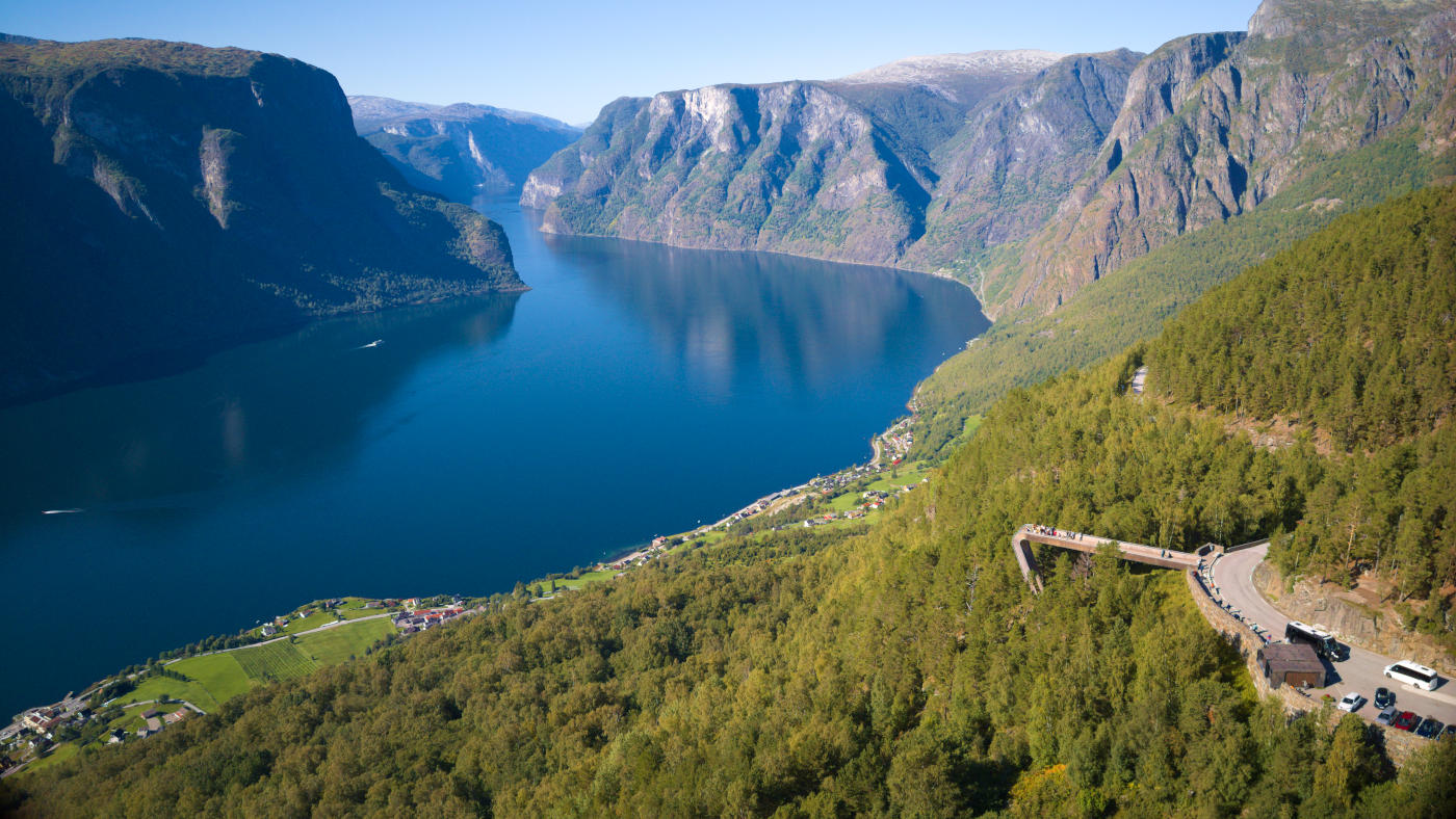
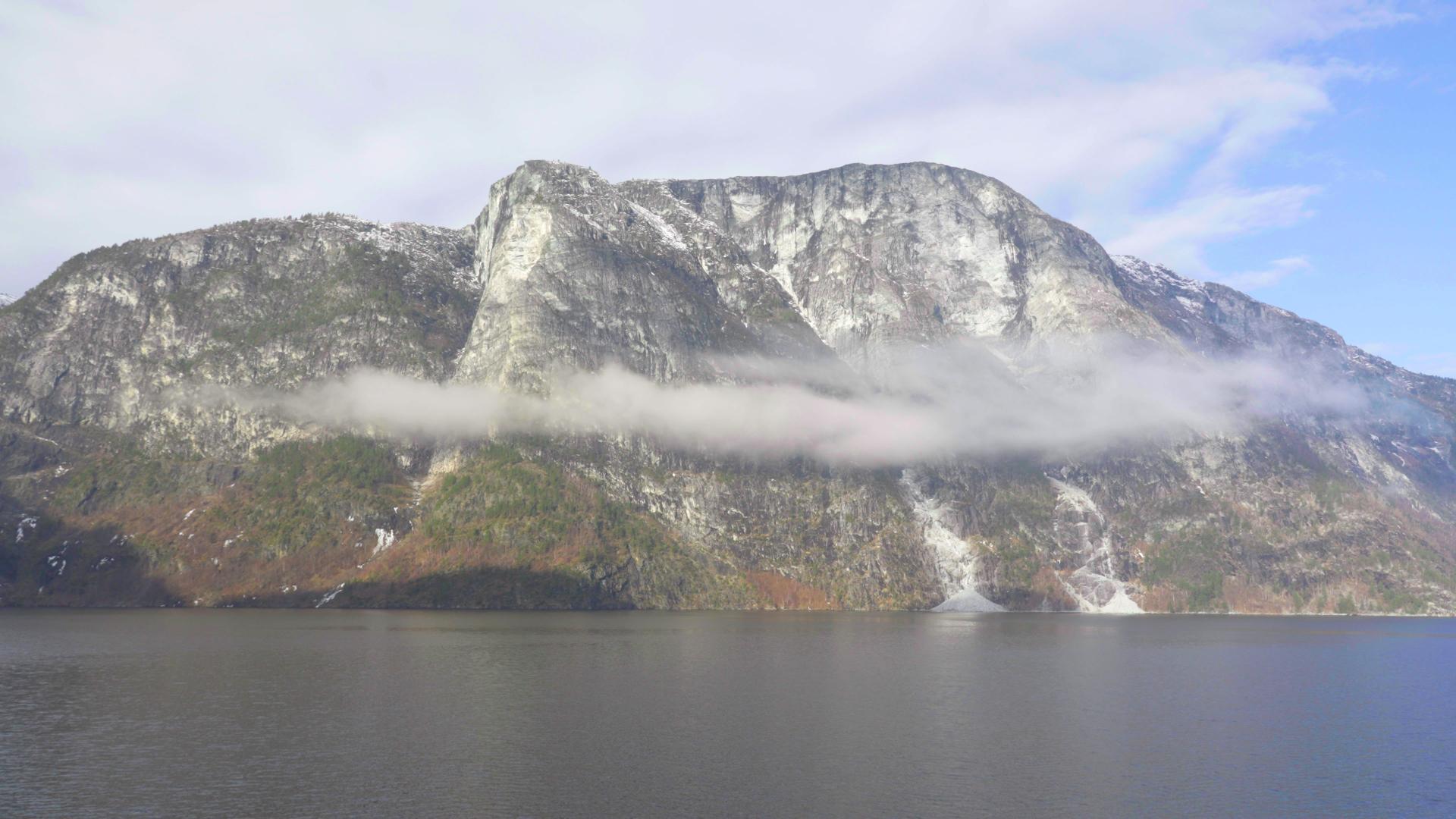
 Aurlandsdalen stretches 40 kilometres from the Geiteryggen pass down to the fjord at Vassbygdi. It's often called Norway's Grand Canyon, though that's a bit of a stretch. What it really is: one of the oldest routes between Eastern and Western Norway, now one of the country's most popular hikes.
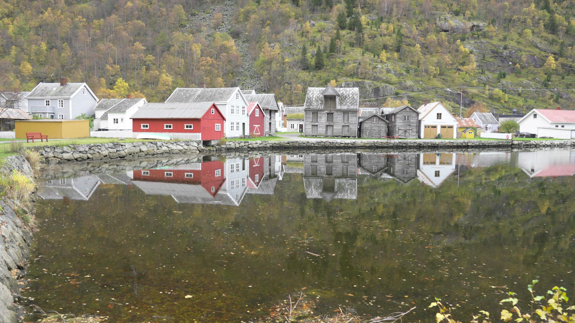
As late as 1850, ten farms clung to the valley walls here. Sinjarheim, Nesbø, Almen, Teigen, Berekvam. By 1922, all were abandoned. Many families emigrated to America. The buildings still stand, restored now, silent witnesses to how hard life was in these valleys. At Nesbøgalden, farmers once climbed vertical rock faces using wooden ladders just to move their cattle. In 1870 they finally blasted a proper path at Sinjarheim. The ladders at Nesbø weren't replaced until the 1930s.
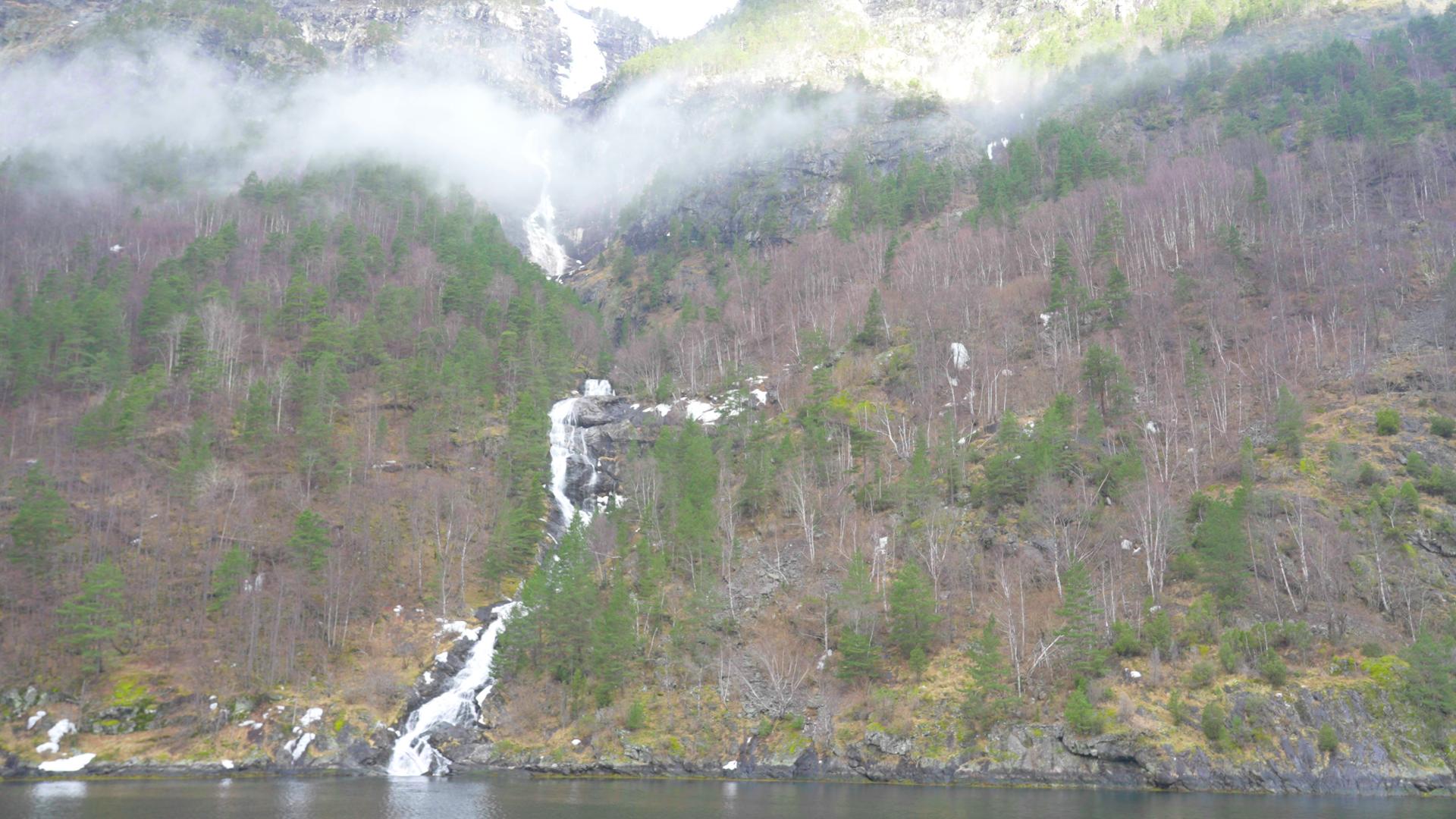
The valley changed again in the 1970s when the hydropower development came. The great waterfalls were silenced. The spray and mist that once filled the gorges disappeared. The Aurlandselvi, formerly one of Norway's finest salmon rivers, lost most of its flow to tunnels and turbines. You can still hike here, but you're walking through a landscape that has lost something.
Most people walk the lower section from Østerbø to Vassbygdi. It's 18 kilometres with 770 metres of descent, taking six to eight hours. The trail passes an old graveyard, the restored farms, and Vetlahelvete, a giant glacial pothole whose name translates to "little hell." At Bjørnstigen you can take a steeper route with better views, but avoid it in wet weather. The Grovselvi river crossing between Sinjarheim and Almen can be dangerous when water levels are high.
Season runs from July to mid-September. There's no mobile coverage in large parts of the valley. A bus runs from Aurland and Flåm to Østerbø during summer, making it possible as a day hike. Around 30,000 people walk some section of Aurlandsdalen each year.