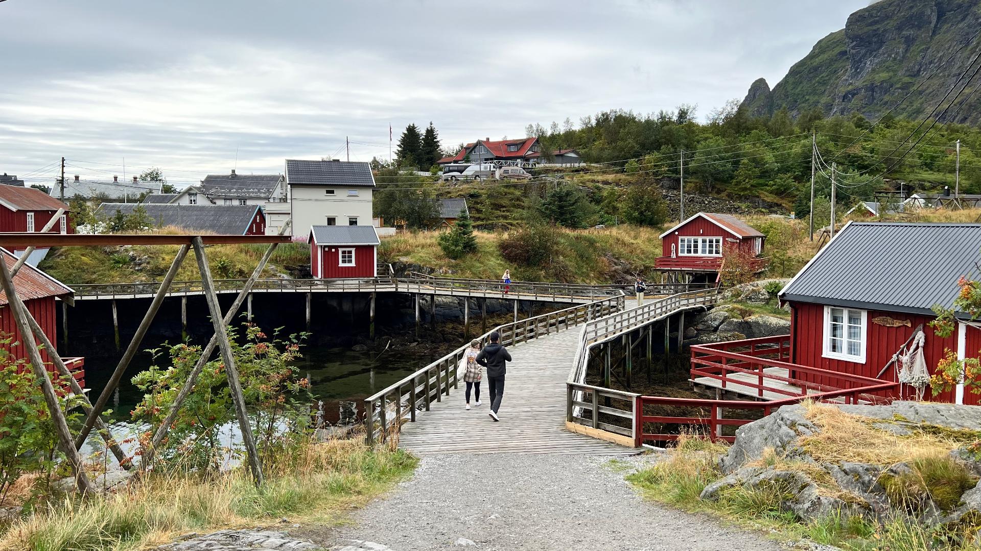
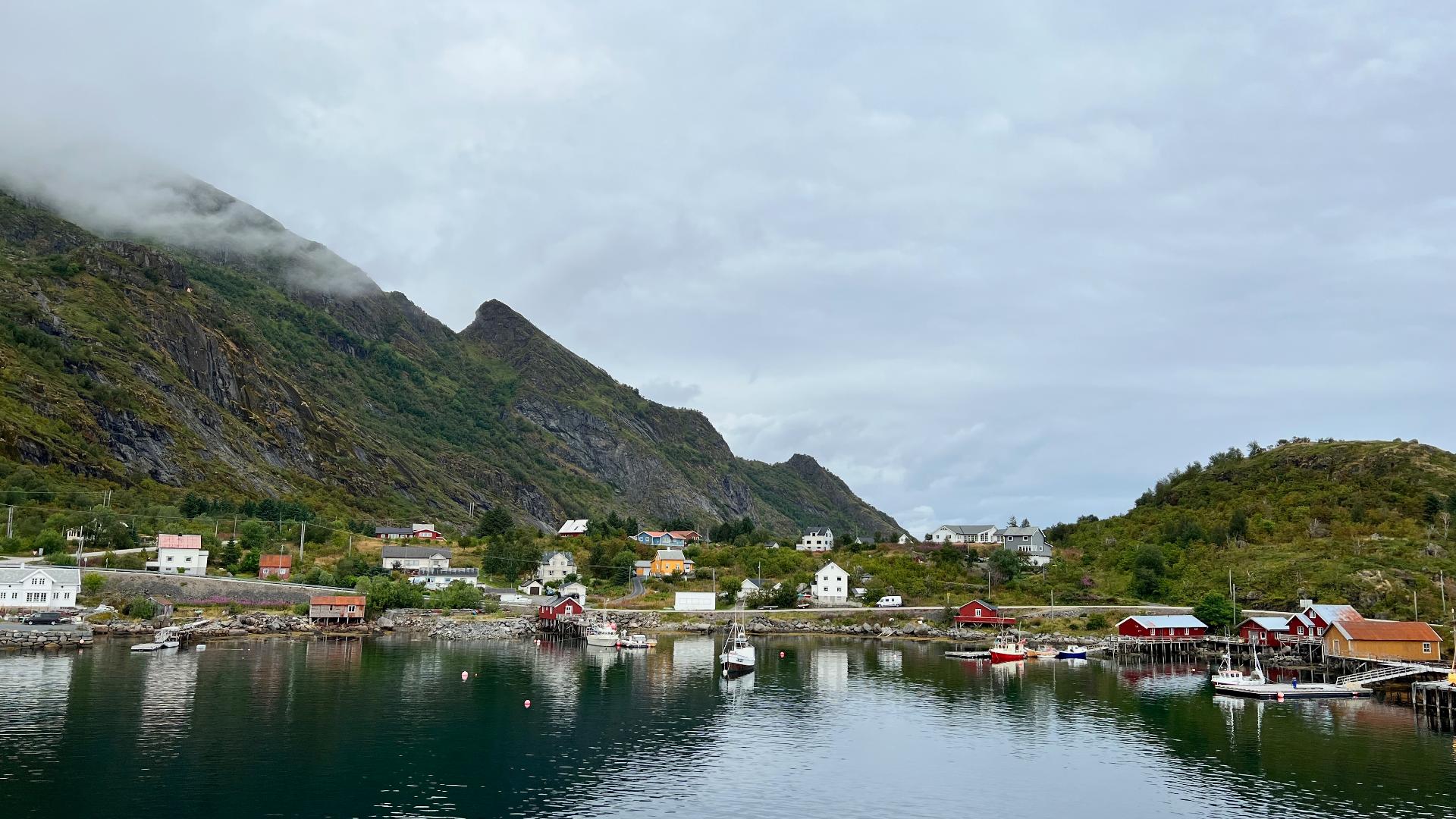
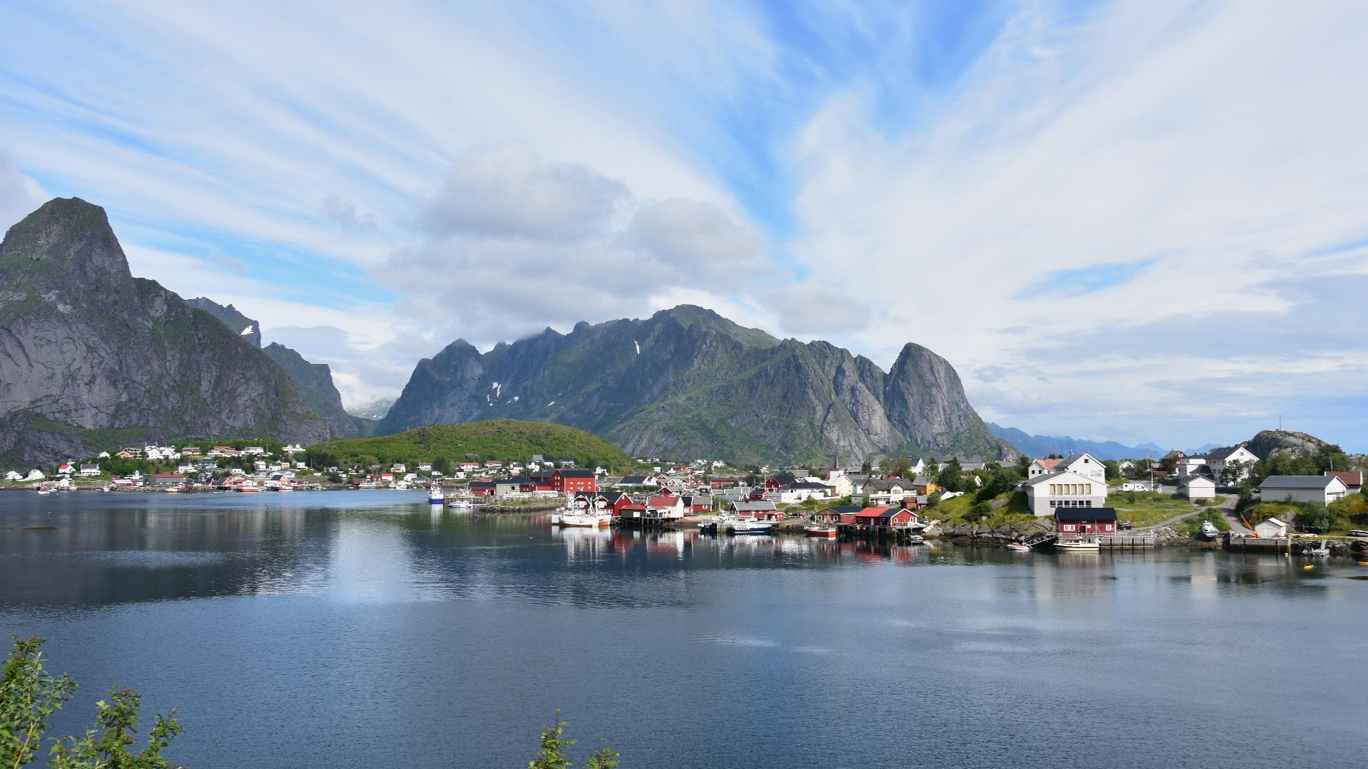
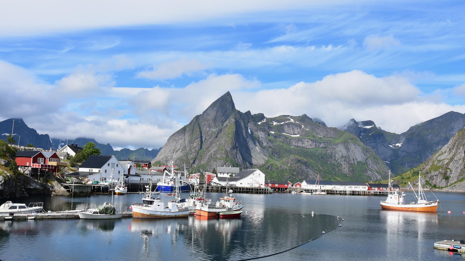
Værøy, the "weather island," is a dramatic mountainous island with peaks rising to 470 metres directly from the sea. Over 60 percent of jobs here connect to fisheries, making it one of the largest fishing communities in Nordland.
The island's western coast is lined with towering bird cliffs around Måstadfjellet, home to tens of thousands of breeding seabirds including Atlantic puffins. This is also where the Norwegian Lundehund (puffin dog) was bred for centuries to retrieve puffins from cliff nests, a unique breed with six toes on each foot and extraordinary joint flexibility. Every living Lundehund traces its ancestry to dogs from the now-abandoned village of Måstad on this coast.
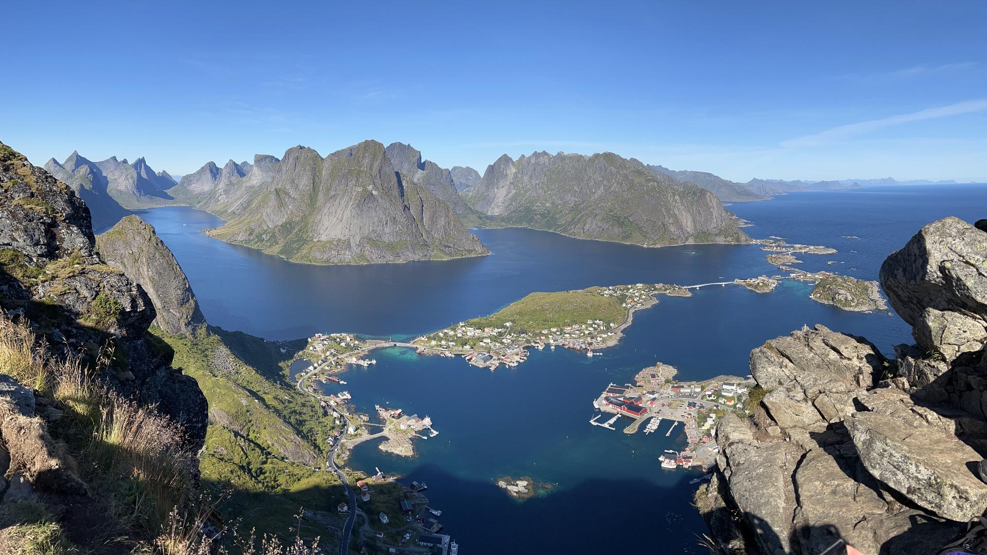
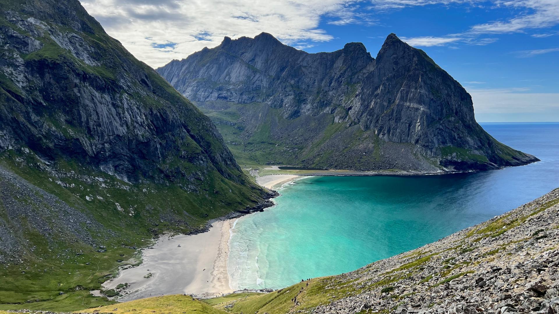
Several hiking trails cross the mountainous spine of the island, with Håen and Nordlandsnupen offering sweeping views across the Vestfjord and, on clear days, as far as the Svartisen glacier on the mainland. Værøy is reached by free ferry from Bodø or Moskenes.
The island's western coast is lined with towering bird cliffs around Måstadfjellet, home to tens of thousands of breeding seabirds including Atlantic puffins. This is also where the Norwegian Lundehund (puffin dog) was bred for centuries to retrieve puffins from cliff nests, a unique breed with six toes on each foot and extraordinary joint flexibility. Every living Lundehund traces its ancestry to dogs from the now-abandoned village of Måstad on this coast.
Several hiking trails cross the mountainous spine of the island, with Håen and Nordlandsnupen offering sweeping views across the Vestfjord and, on clear days, as far as the Svartisen glacier on the mainland. Værøy is reached by free ferry from Bodø or Moskenes.