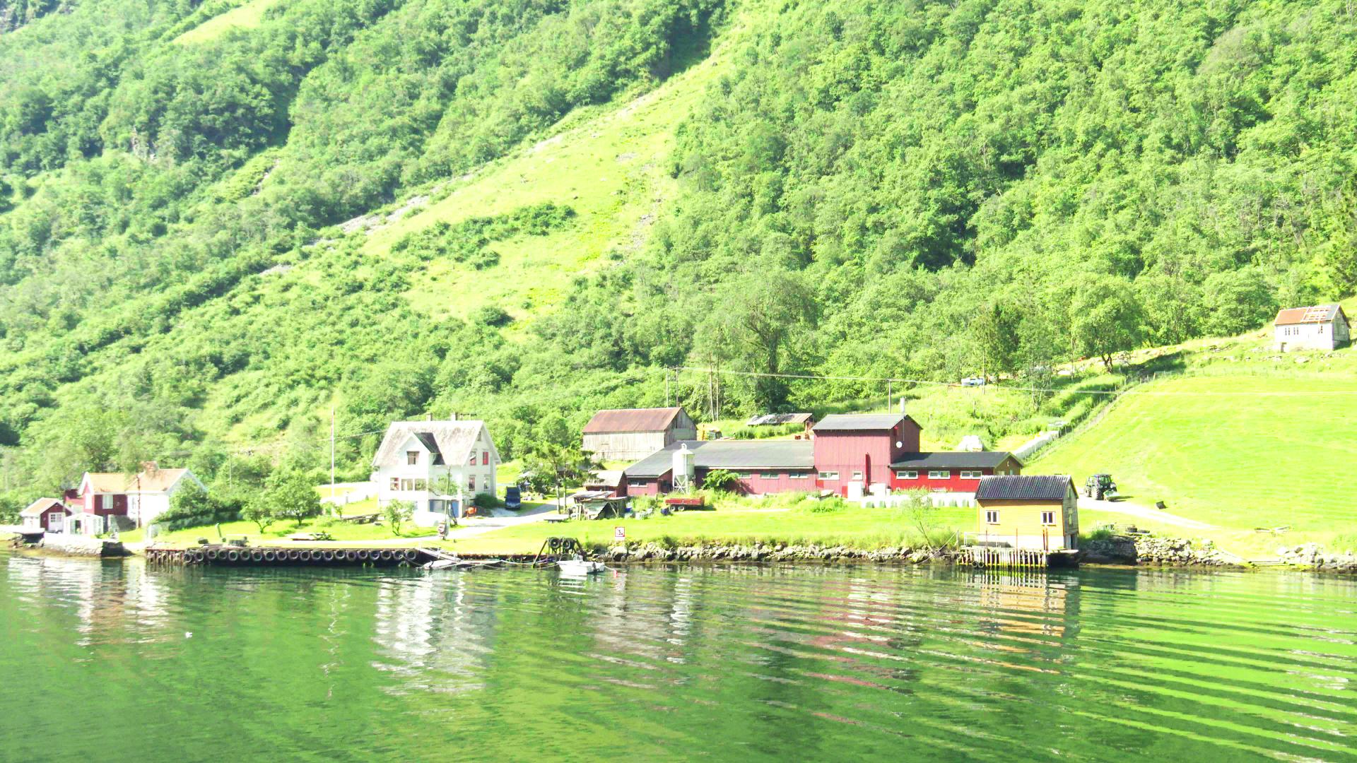
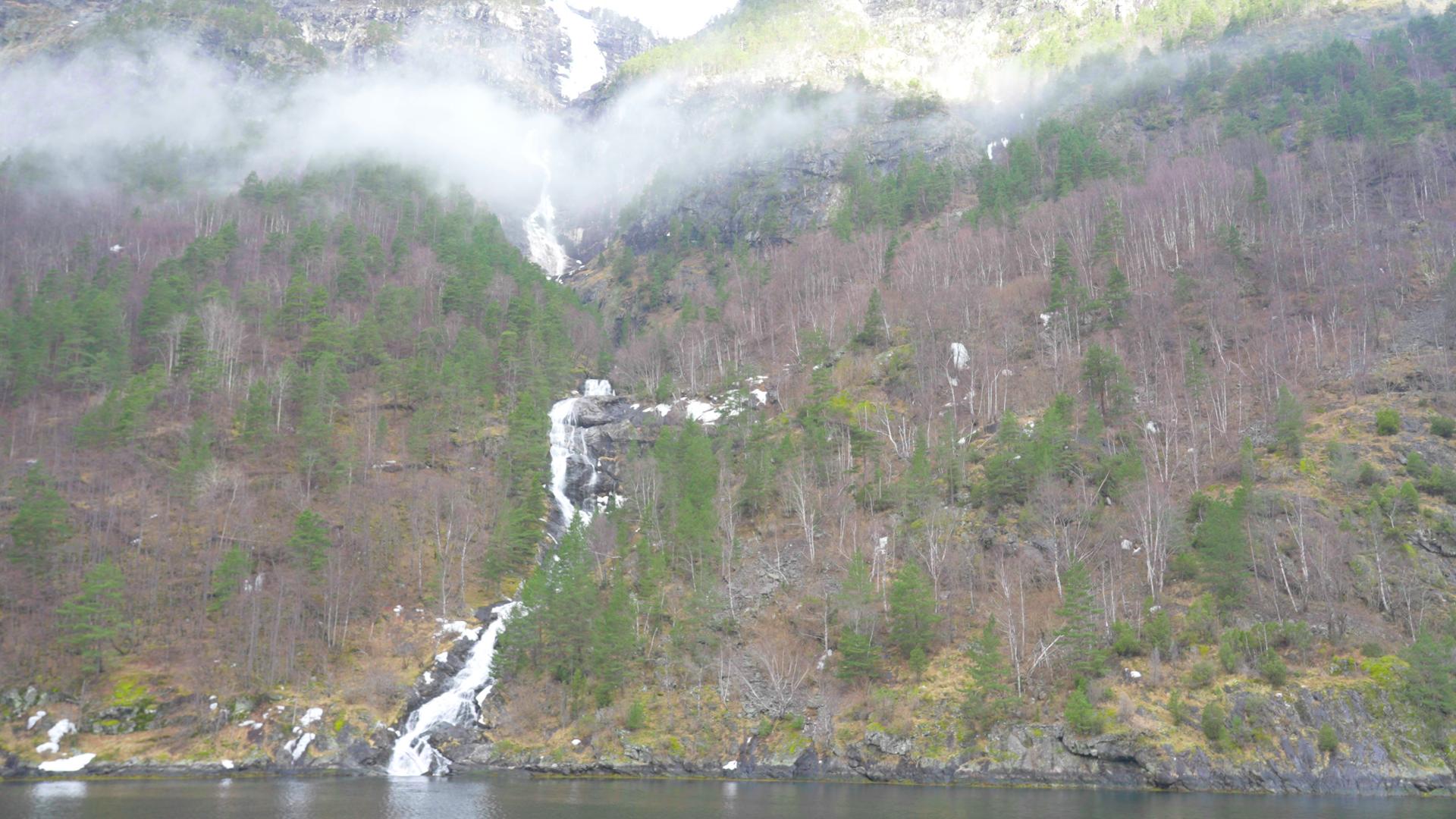
Just northeast of Bakka, on the same side of the fjord, the small farm settlement of Tufte is easiest to spot by its waterfall. Tuftefossen drops 680 metres down the cliff face behind the farm, fed by several mountain lakes on the Vardafjellet plateau at 1,470 metres. From the boat, it is a long white streak with a handful of buildings at its base.
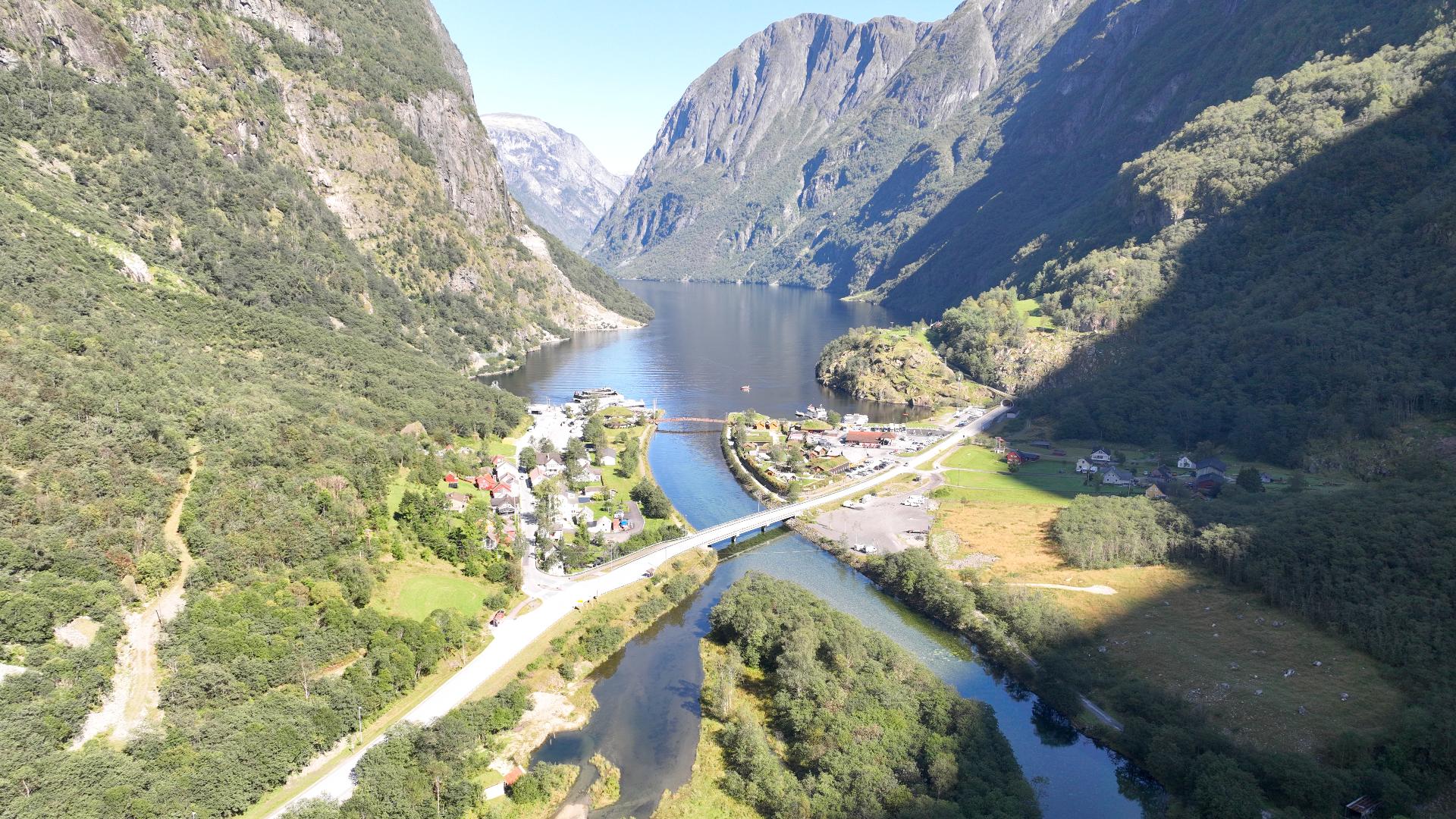
The river Tufteelvi that feeds the waterfall also marks the start of the Rimstigen trail, one of the old cattle roads used for centuries to move livestock between the fjord farms and the summer pastures at Breidalen and Røyrdotten, up to 1,300 metres. The farmers of Tufte and Bakka drove their cattle up these trails every June and brought them down every September. The paths are still there, now used as hiking trails. Rimstigen is steep and exposed, and in spring, before the snow above the trail has melted, there is a real risk of avalanches across the path.
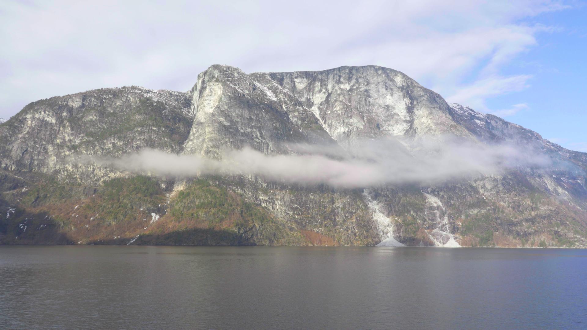
Across the fjord from Tufte, on the east side, is a place called Solaløysa. The name means "the place where the sun never shines." The mountains are so high and the fjord so narrow here that parts of the east shore spend the entire winter in shadow.
The river Tufteelvi that feeds the waterfall also marks the start of the Rimstigen trail, one of the old cattle roads used for centuries to move livestock between the fjord farms and the summer pastures at Breidalen and Røyrdotten, up to 1,300 metres. The farmers of Tufte and Bakka drove their cattle up these trails every June and brought them down every September. The paths are still there, now used as hiking trails. Rimstigen is steep and exposed, and in spring, before the snow above the trail has melted, there is a real risk of avalanches across the path.
Across the fjord from Tufte, on the east side, is a place called Solaløysa. The name means "the place where the sun never shines." The mountains are so high and the fjord so narrow here that parts of the east shore spend the entire winter in shadow.