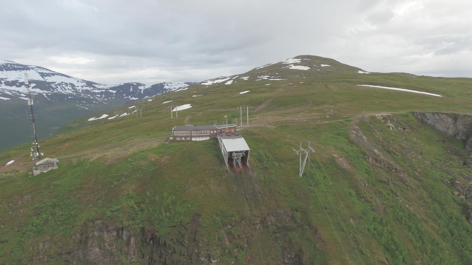
Difficult
The world's northernmost international tripoint sits 490 metres above sea level where Norway, Sweden, and Finland meet, marked by a yellow dome-shaped concrete cairn built in 1926, standing about ten metres out in Lake Goldajärvi. Thanks to the Schengen Agreement, you can walk around the monument and visit three countries in a matter of seconds, no passport checks, no border guards, no surveillance cameras. Just a cairn in a lake and three nations that trust each other.
The contrast with Norway's other tripoint could not be sharper. In the Pasvik valley, where Norway meets Russia and Finland, the cairn is on a hilltop ringed by cameras, patrols, and restricted zones. Here at Kilpisjärvi, the atmosphere is relaxed and the biggest challenge is the hike itself.
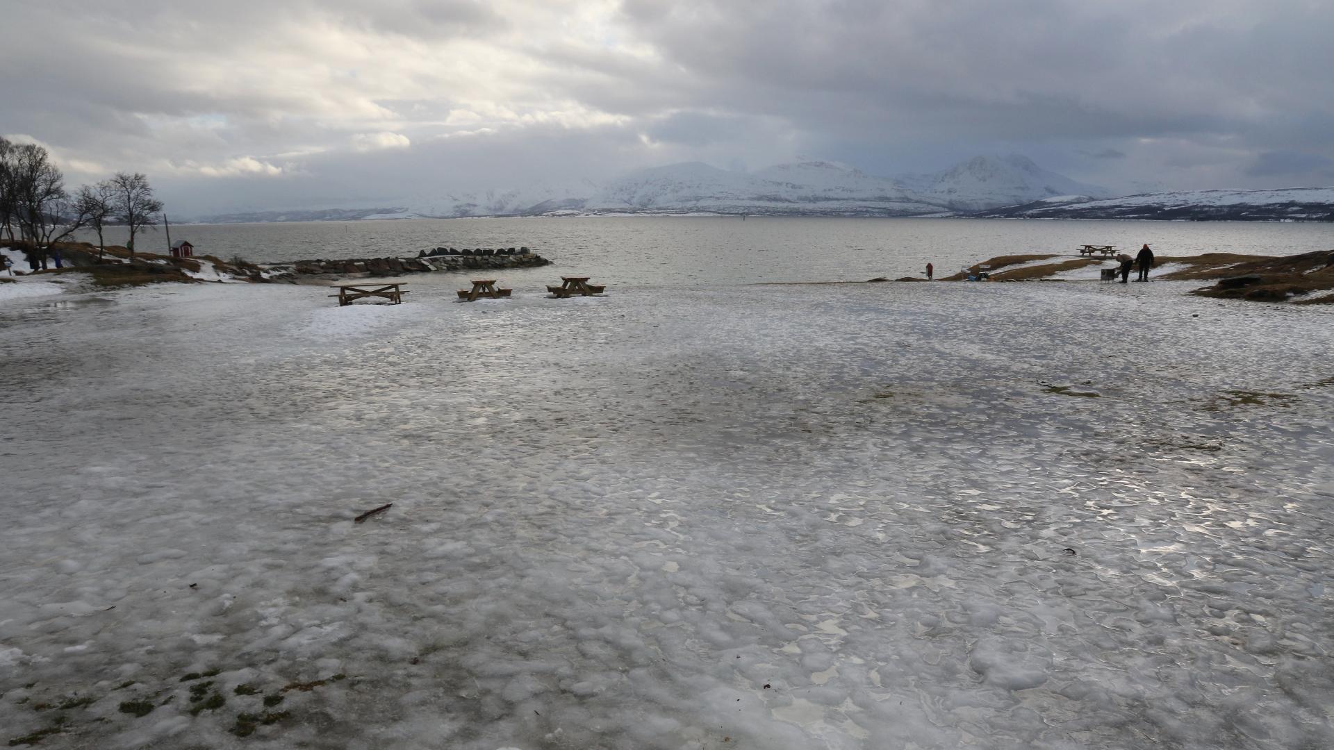
From the Norwegian side, the marked trail starts in the Storfjord municipality near Skibotn and covers roughly 22 kilometres round trip across high mountain terrain, rated as demanding, with five to seven hours expected. Alternatively, in summer you can start from Kilpisjärvi on the Finnish side, where a scheduled boat crosses the lake and a 20-minute walk leads to the cairn. From the Swedish side, the trail through Finland's oldest national park, Malla, established in 1916, covers 11 kilometres.
The location is above the treeline with panoramic views across the mountain plateaux of all three countries. In clear weather, the sense of open space is extraordinary. The cairn itself is modest, but the idea of standing in three nations at once, at the very top of Scandinavia, gives the spot an appeal that goes beyond the physical.
The contrast with Norway's other tripoint could not be sharper. In the Pasvik valley, where Norway meets Russia and Finland, the cairn is on a hilltop ringed by cameras, patrols, and restricted zones. Here at Kilpisjärvi, the atmosphere is relaxed and the biggest challenge is the hike itself.
From the Norwegian side, the marked trail starts in the Storfjord municipality near Skibotn and covers roughly 22 kilometres round trip across high mountain terrain, rated as demanding, with five to seven hours expected. Alternatively, in summer you can start from Kilpisjärvi on the Finnish side, where a scheduled boat crosses the lake and a 20-minute walk leads to the cairn. From the Swedish side, the trail through Finland's oldest national park, Malla, established in 1916, covers 11 kilometres.
The location is above the treeline with panoramic views across the mountain plateaux of all three countries. In clear weather, the sense of open space is extraordinary. The cairn itself is modest, but the idea of standing in three nations at once, at the very top of Scandinavia, gives the spot an appeal that goes beyond the physical.