On August 31, 1819, the ground beneath Helgeland shook with a force that has never been matched in recorded Scandinavian history. The Lurøy earthquake, estimated at magnitude 5.9, remains the most powerful onshore earthquake ever documented in Fennoscandia, the geological region covering Norway, Sweden, Finland, and Denmark. The epicentre lay in the Lurøy–Skjona area along the Helgeland coast. The shaking was felt across the whole of Nordland, into Trøndelag, Troms, and Finnmark, and as far away as northern Sweden and Finland. Locally, the effects were dramatic: rock avalanches tumbled down mountainsides, mast-high waves surged through Ranafjorden, and clay landslides reshaped the shoreline near Utskarpen. Soil liquefaction was reported in several areas; the ground itself turning briefly to liquid. Aftershocks continued for five weeks. Norway is not typically associated with seismic activity, but this region sits along old geological fault lines that occasionally reawaken. The 1819 earthquake is a reminder that even in geologically ‘stable’ Scandinavia, the forces beneath the surface are far from dormant.
💡 Fun Fact
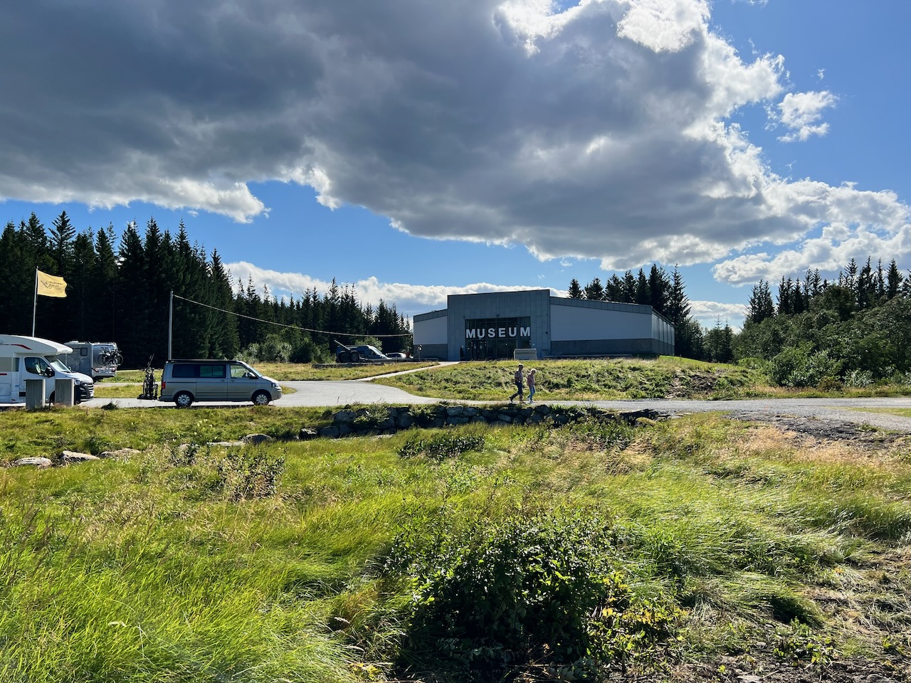
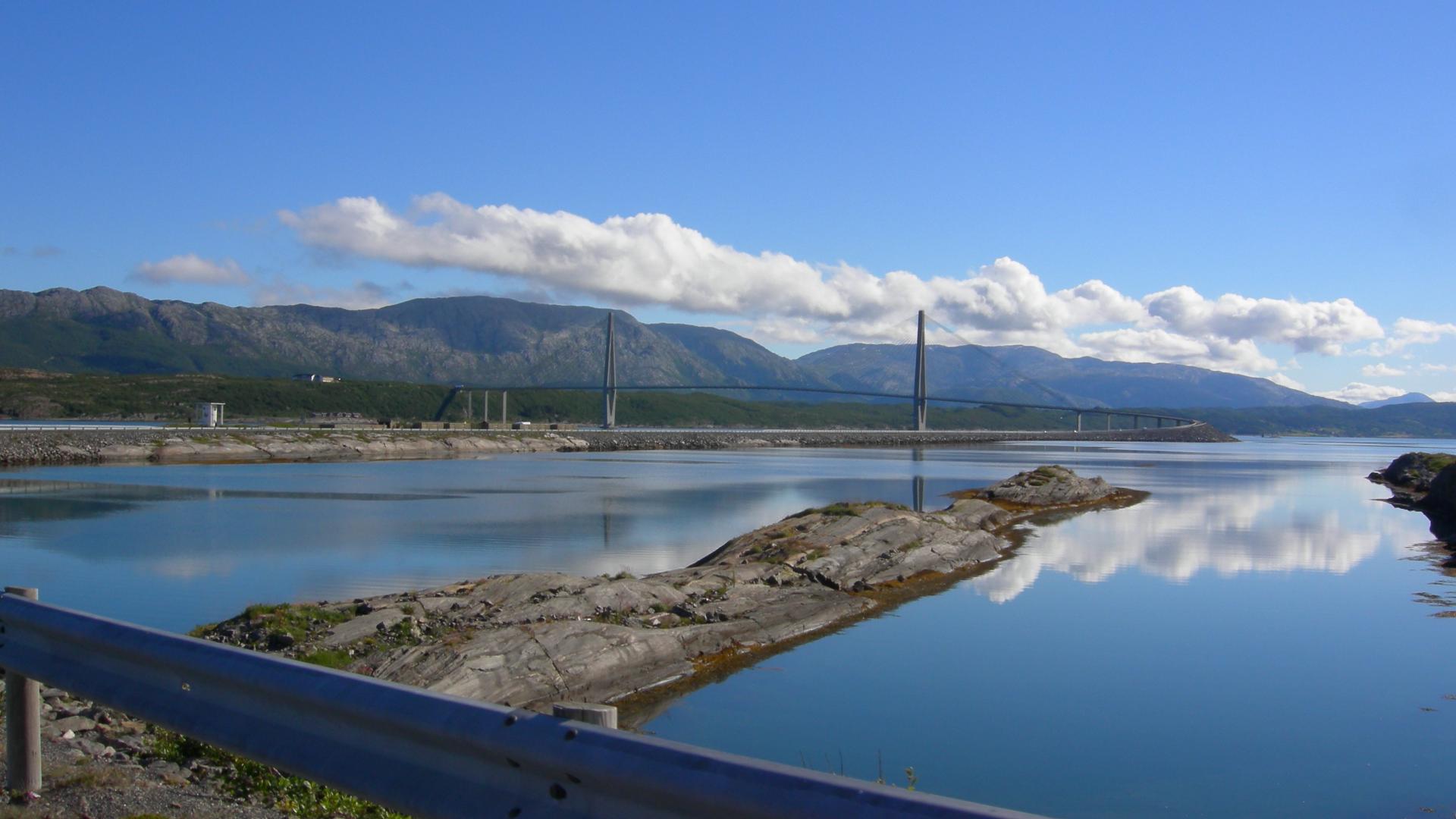
Helgeland
Coastal
The 1819 Lurøy Earthquake: Fennoscandia’s Strongest
Open in map
5 minutes
Get the free Xplore Norway app
Hear every place narrated automatically as you drive, with offline maps for all of Norway.
- Automatic GPS audio guide
- Offline maps for all of Norway
- Free to download
1513 places across Norway