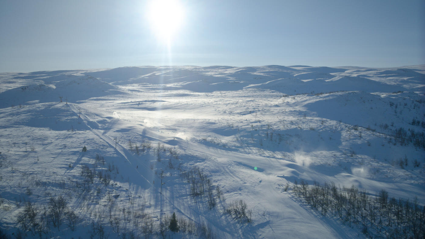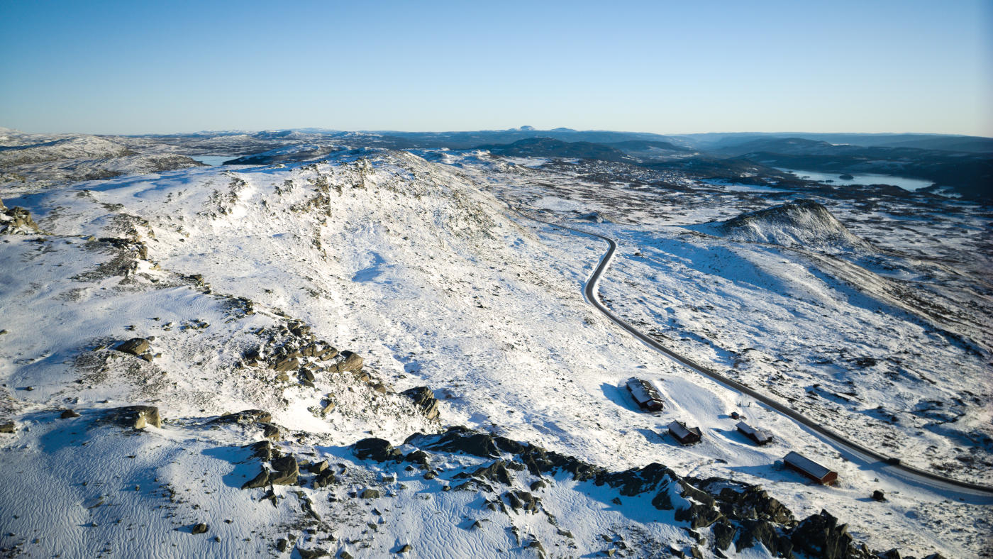
Slettefjellvegen is one of the lesser-known scenic mountain roads in Norway. It connects Beitostølen to Vang over the Slettefjell plateau, and most tourists don't even know it exists. The road reaches 1,315 metres at its highest point, making it the highest point on the entire Mjølkevegen cycling route.
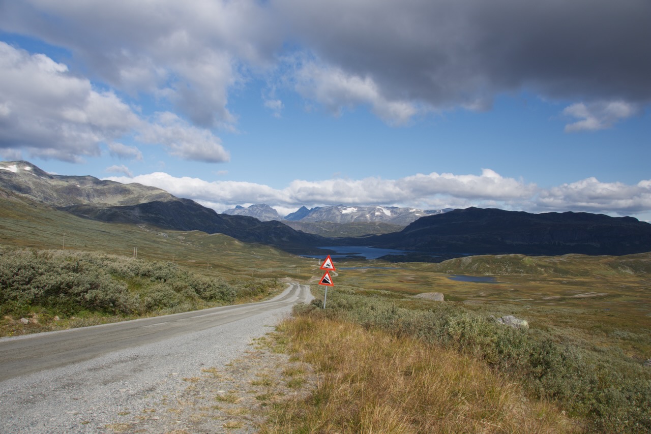
The road is unpaved and about 25 km long. It's a toll road with automatic licence plate recognition. You pay online within 48 hours at passpay.no. Expect around 90 kroner for vehicles under 3.5 tonnes.
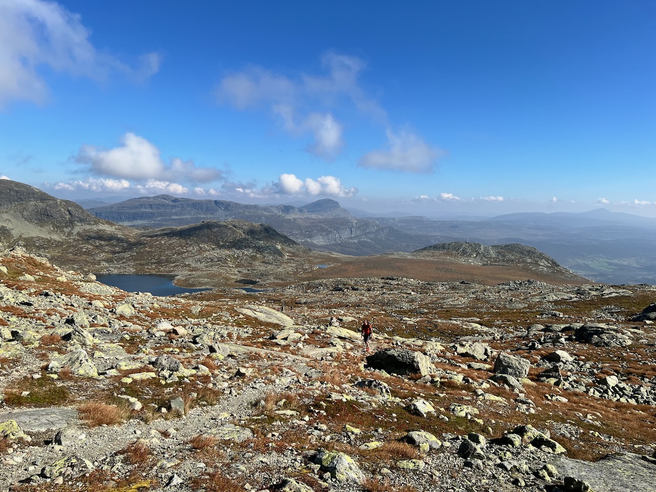
From the top you have views towards Jotunheimen to the north and down to Vang in the west. There's a picnic area at the highest point. Reindeer are often spotted up here.
The descent towards Vang is steep. If you're cycling, you need good brakes and should stop regularly. In wet conditions, be very careful.
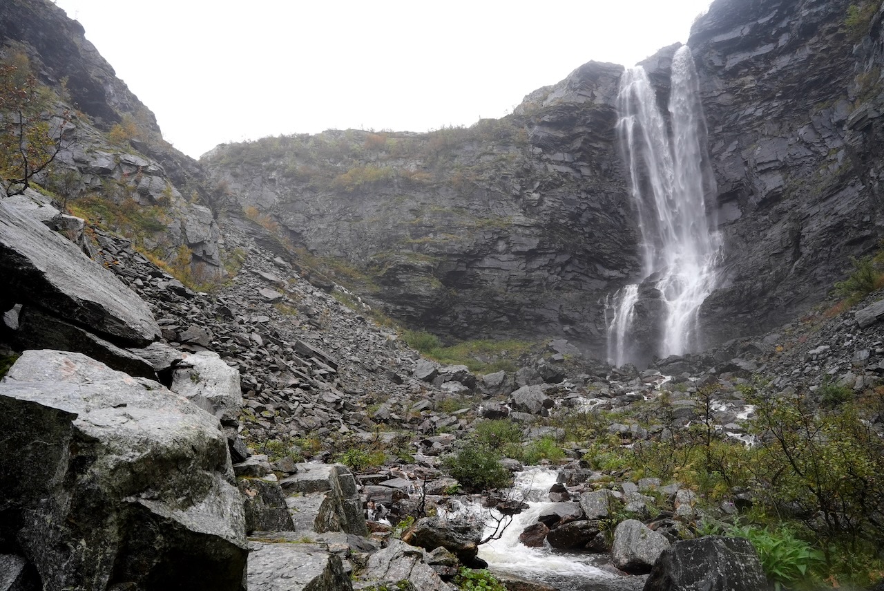
A recommended detour is the short hike to Sputrefossen waterfall. The trailhead is marked about a kilometre before the toll booth on the Vang side. It's about a 15-minute walk each way with around 120 metres of elevation gain. The waterfall is worth it.
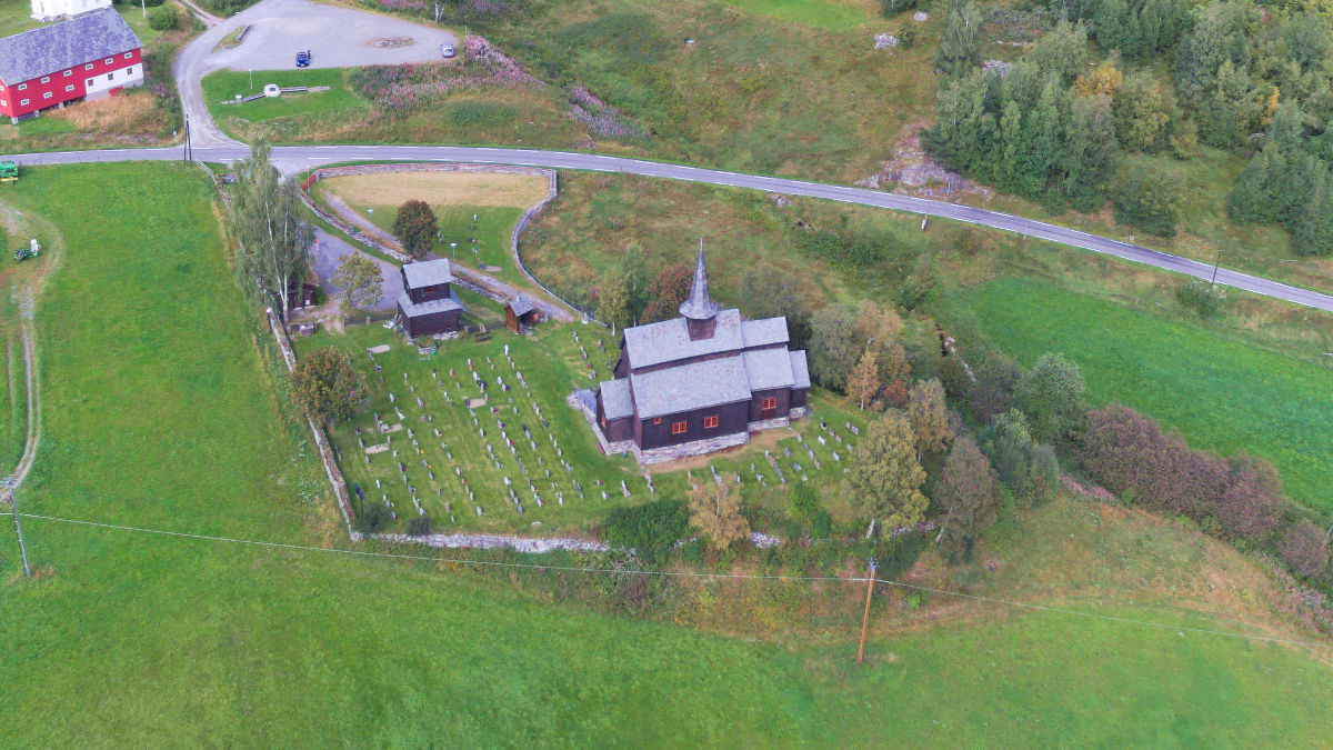
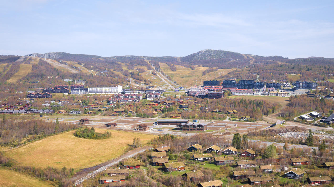
At the southern end of the road there's the Slettefjellkiosk where you can get snacks and charge e-bike batteries for a small fee. From there you can continue to Høre stave church, which is just a few kilometres away.
The road is only open in summer. It closes with the first snowfall, typically sometime in September or October. Opening depends on conditions but is usually sometime in June.
Don't try to sneak past a closed barrier. One visitor had to reverse their van 3 km down a narrow mountain road after ignoring the signs.
For cyclists, Slettefjellvegen is the hardest part of the Mjølkevegen route. The climb from the Vang side has over 600 metres of elevation gain. It's officially rated as challenging and not suitable for children.
The road is unpaved and about 25 km long. It's a toll road with automatic licence plate recognition. You pay online within 48 hours at passpay.no. Expect around 90 kroner for vehicles under 3.5 tonnes.
From the top you have views towards Jotunheimen to the north and down to Vang in the west. There's a picnic area at the highest point. Reindeer are often spotted up here.
The descent towards Vang is steep. If you're cycling, you need good brakes and should stop regularly. In wet conditions, be very careful.
A recommended detour is the short hike to Sputrefossen waterfall. The trailhead is marked about a kilometre before the toll booth on the Vang side. It's about a 15-minute walk each way with around 120 metres of elevation gain. The waterfall is worth it.
At the southern end of the road there's the Slettefjellkiosk where you can get snacks and charge e-bike batteries for a small fee. From there you can continue to Høre stave church, which is just a few kilometres away.
The road is only open in summer. It closes with the first snowfall, typically sometime in September or October. Opening depends on conditions but is usually sometime in June.
Don't try to sneak past a closed barrier. One visitor had to reverse their van 3 km down a narrow mountain road after ignoring the signs.
For cyclists, Slettefjellvegen is the hardest part of the Mjølkevegen route. The climb from the Vang side has over 600 metres of elevation gain. It's officially rated as challenging and not suitable for children.