 Medium
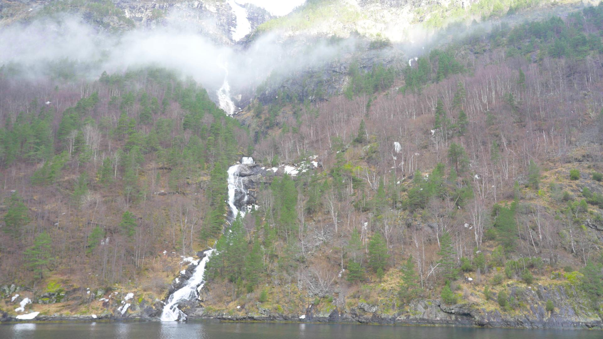
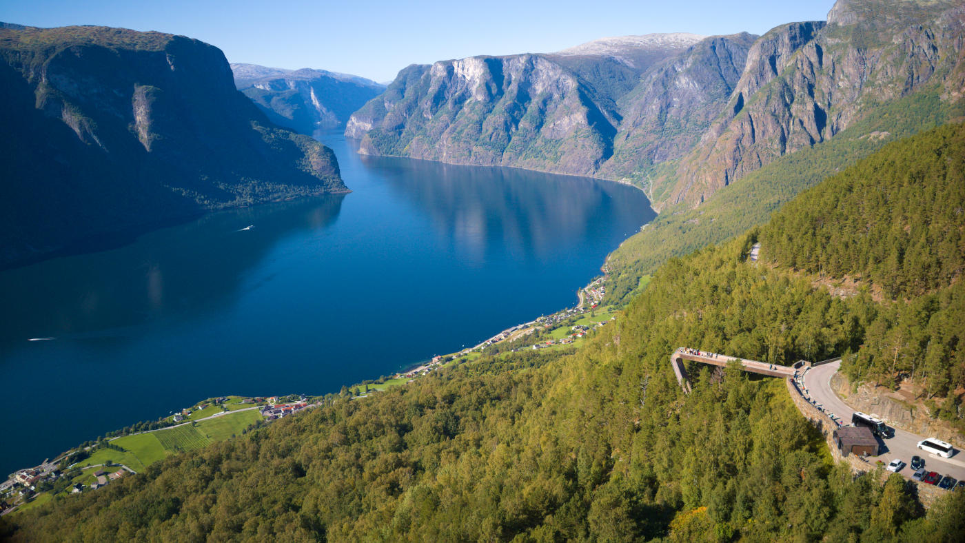
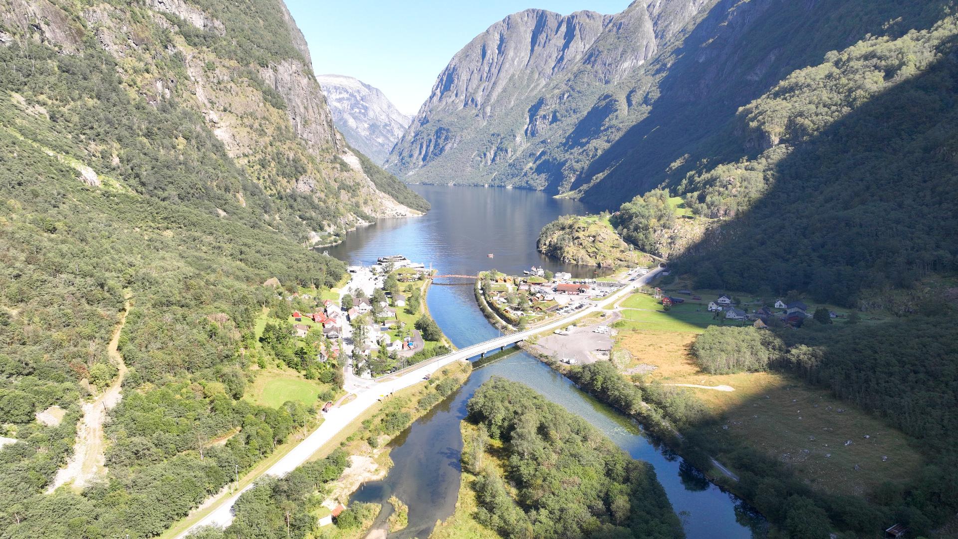
Skomakarnipa sits directly above where the Nærøyfjord branches off from the Aurlandsfjord, one kilometre straight down. It is in plain sight of Stegastein, but while thousands of people crowd that viewpoint every day, you will likely be completely alone here.
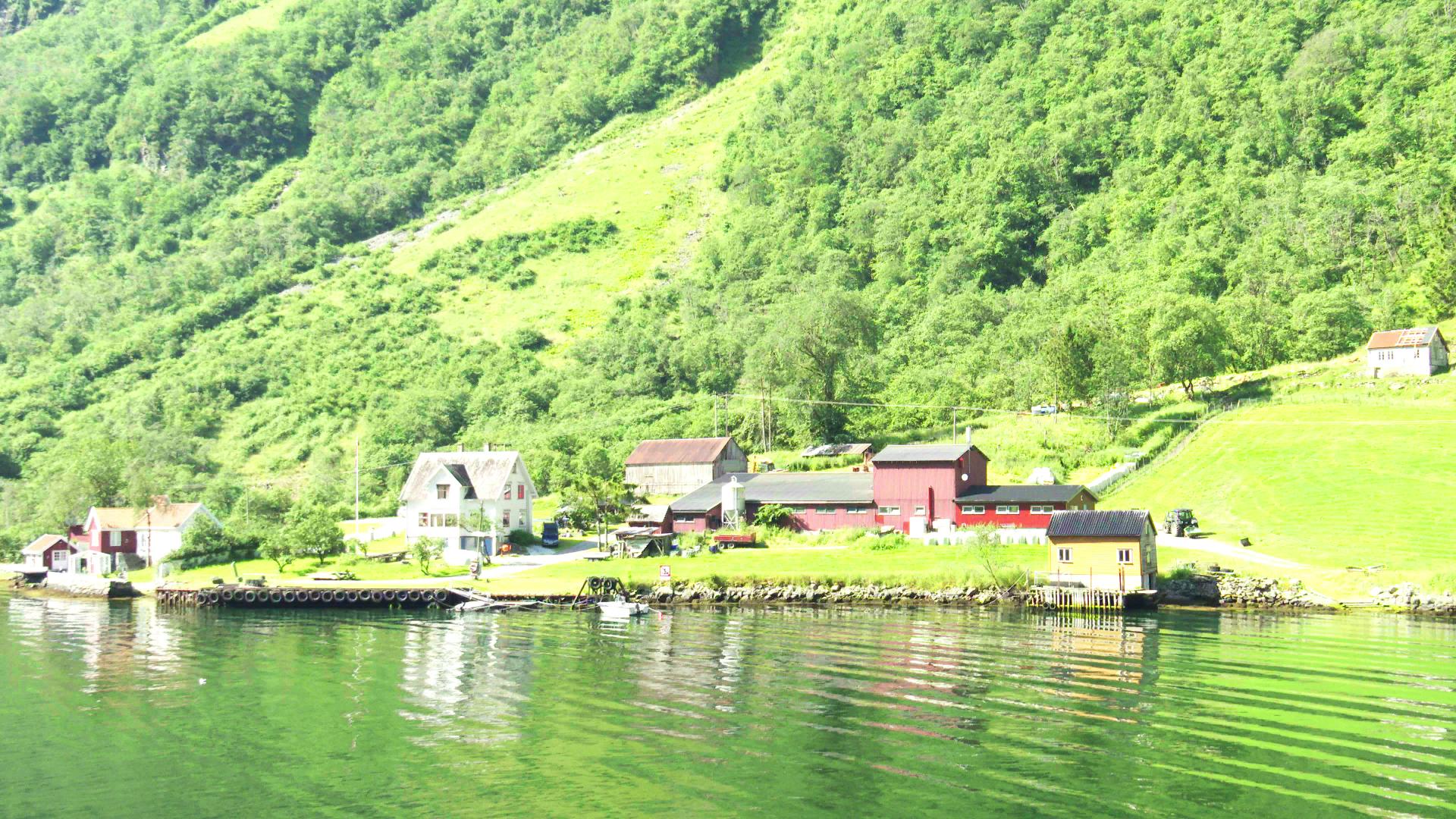
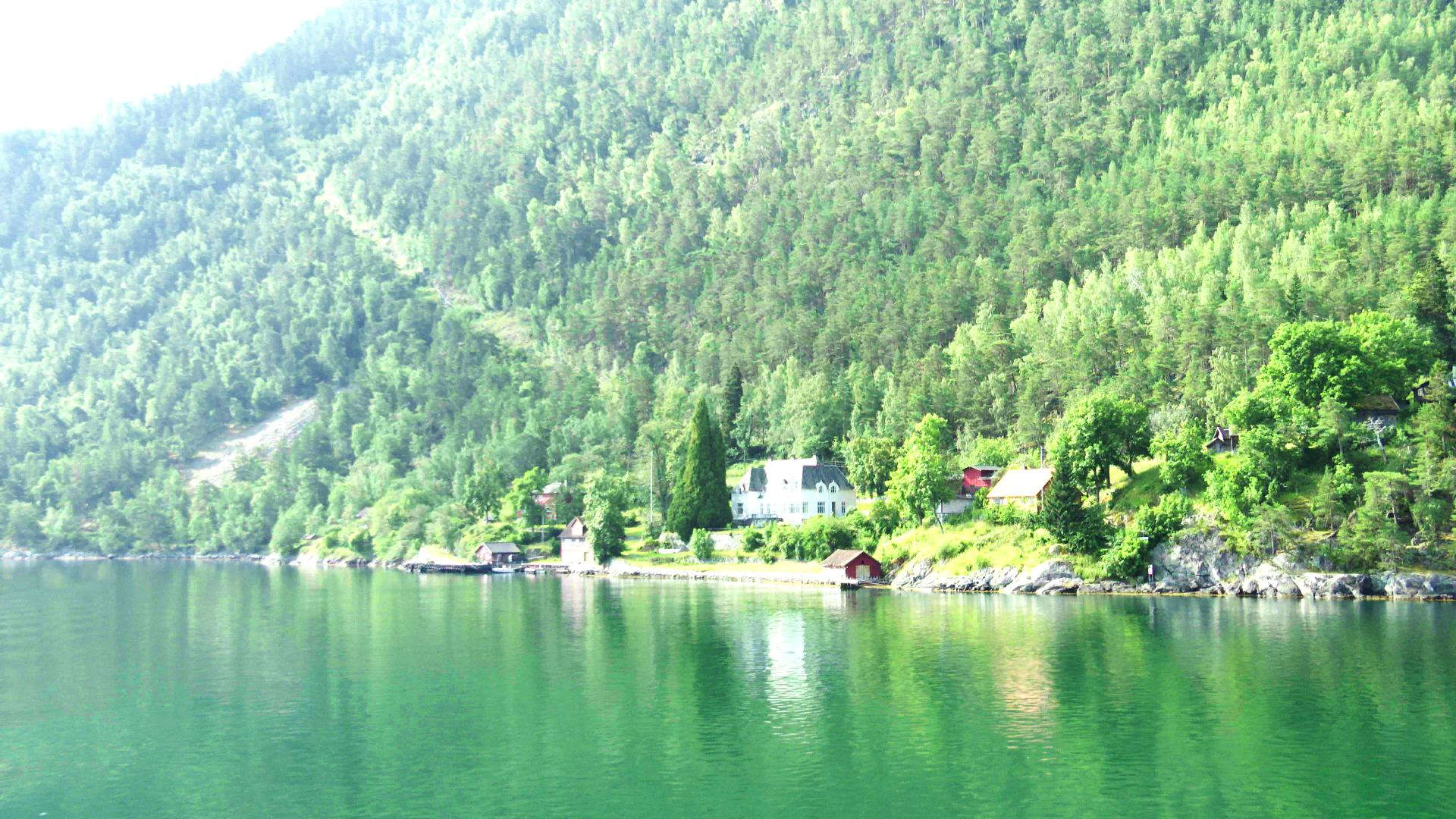
The hike starts at Skard, a mountain parking area above Fresvik. To get there from Aurland or Flåm, you either drive over Vikafjellet or take a double ferry via Kaupanger and Balestrand, which takes at least two hours. One way is 7 km with 500 metres of ascent. Plan 6 to 7 hours total including breaks.
The trail is barely marked. For the first two kilometres through forest it is visible, and there is a registration book at a pair of huts. The book was half full after two years. After a mountain pass with a trail junction, you follow sparse cairns south-west. There are alternative viewpoints here: Fysseholtet requires less hiking, and Lægdeneskar looks further up the Nærøyfjord. For the last stretch to Skomakarnipa itself, there is no trail at all. Use GPS and mark where you leave the cairned route, or you will struggle to find your way back.
The cliff edge has no railings and no safety features. The drop is vertical. Be extremely careful, especially in wind or wet conditions. Skomakarnipa lies in a nature reserve, so viewing platforms or other constructions are unlikely to appear. It is dark at night with almost no light pollution, making Skard a good place to camp before the hike.