Difficult
Segla is the most popular hike on Senja and one of the most photographed mountains in northern Norway. The peak is 639 metres high and shaped like a sail, which gives it its name. From the top you look straight down the vertical north face to the sea, with the neighbouring peak Hesten across the gap and the outer islands beyond.
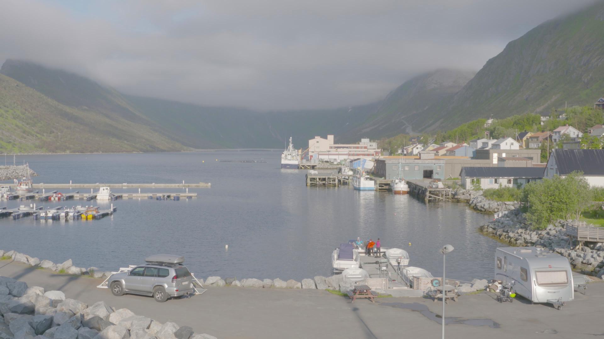
The trail starts from the village of Fjordgård on the northeast coast. The round trip is about 5 kilometres and takes 3 to 5 hours depending on fitness. The first half follows a marked path through birch forest. The second half is steeper and exposed, with some scrambling over rock near the summit. The final section is a narrow ridge with a sheer drop on one side.
This is not a family hike. The trail is graded red (demanding) and the last stretch requires a head for heights. People have needed rescue here. Do not attempt it in wet, windy or foggy conditions. The summit is exposed to sudden weather changes even in summer.
Parking at Fjordgård is limited and fills up fast on summer mornings. Start early or go late in the evening when the midnight sun lights the peaks.