Difficult
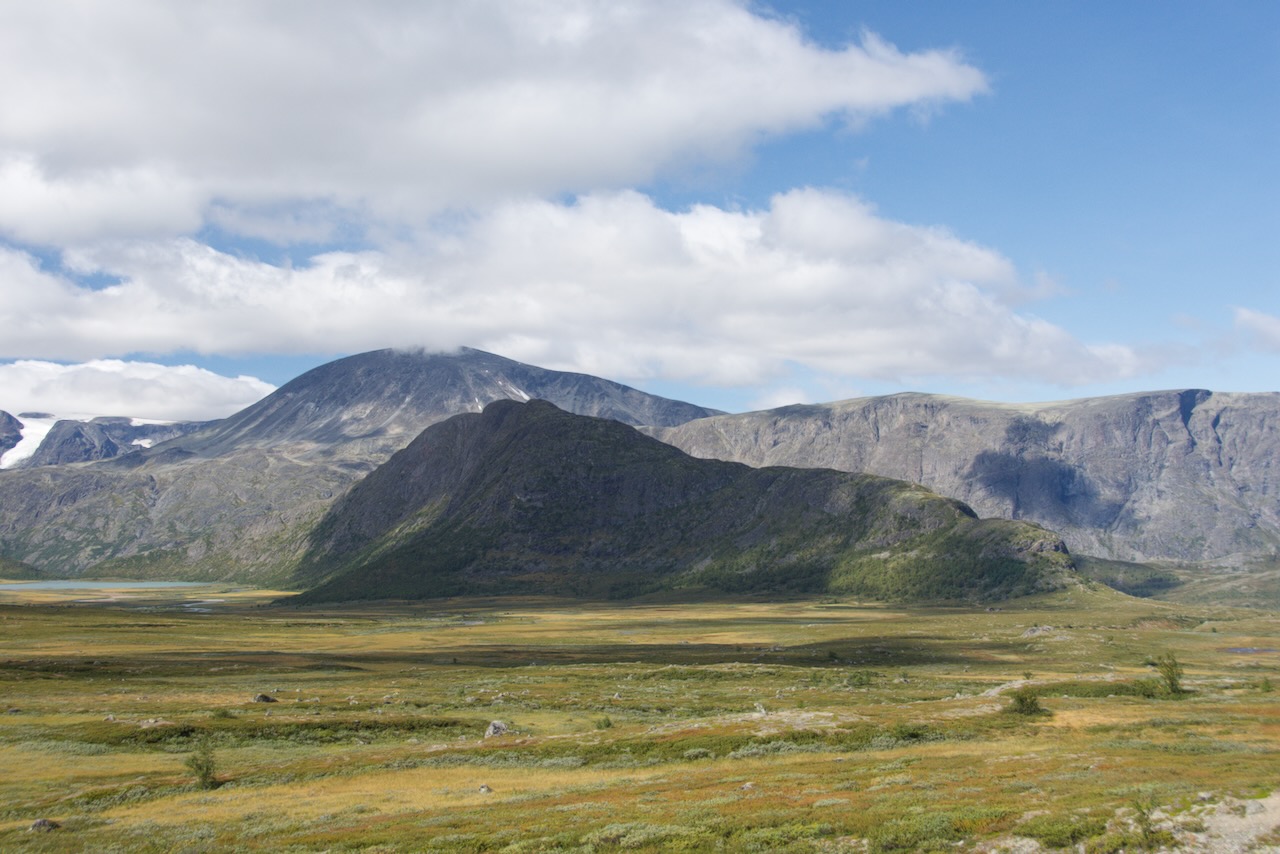
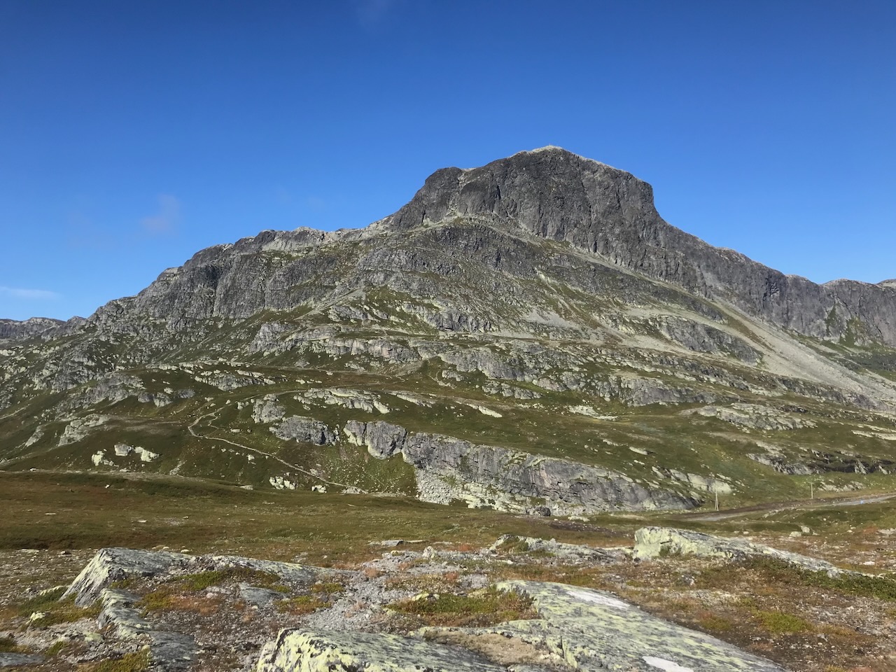
Rassletind stands at 2,105 metres on the southeastern margin of Jotunheimen, about 15 kilometres northwest of Beitostølen. The mountain is built from gabbro, one of Norway's hardest rock types, which gives the peak its characteristically steep and sometimes loose terrain. A secondary summit reaches 2,010 metres to the east.
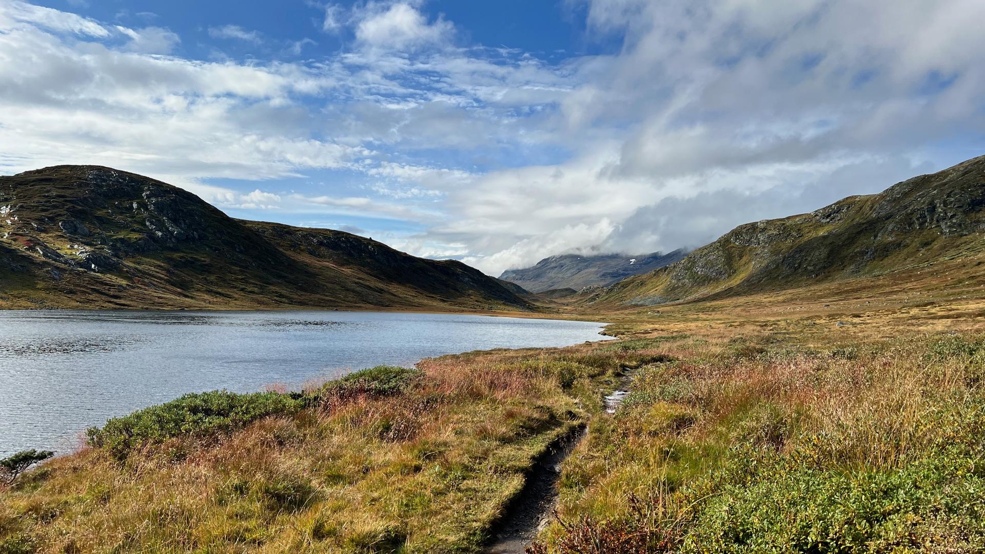
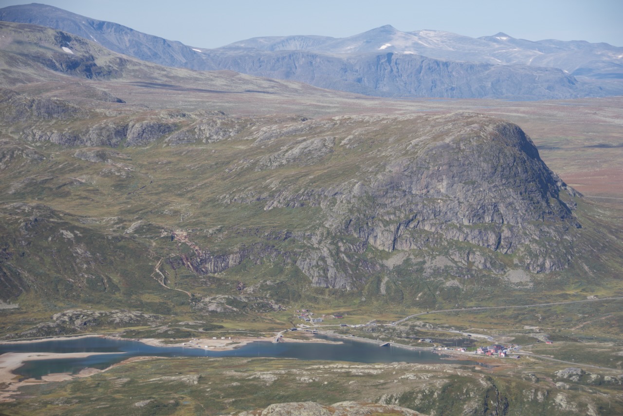
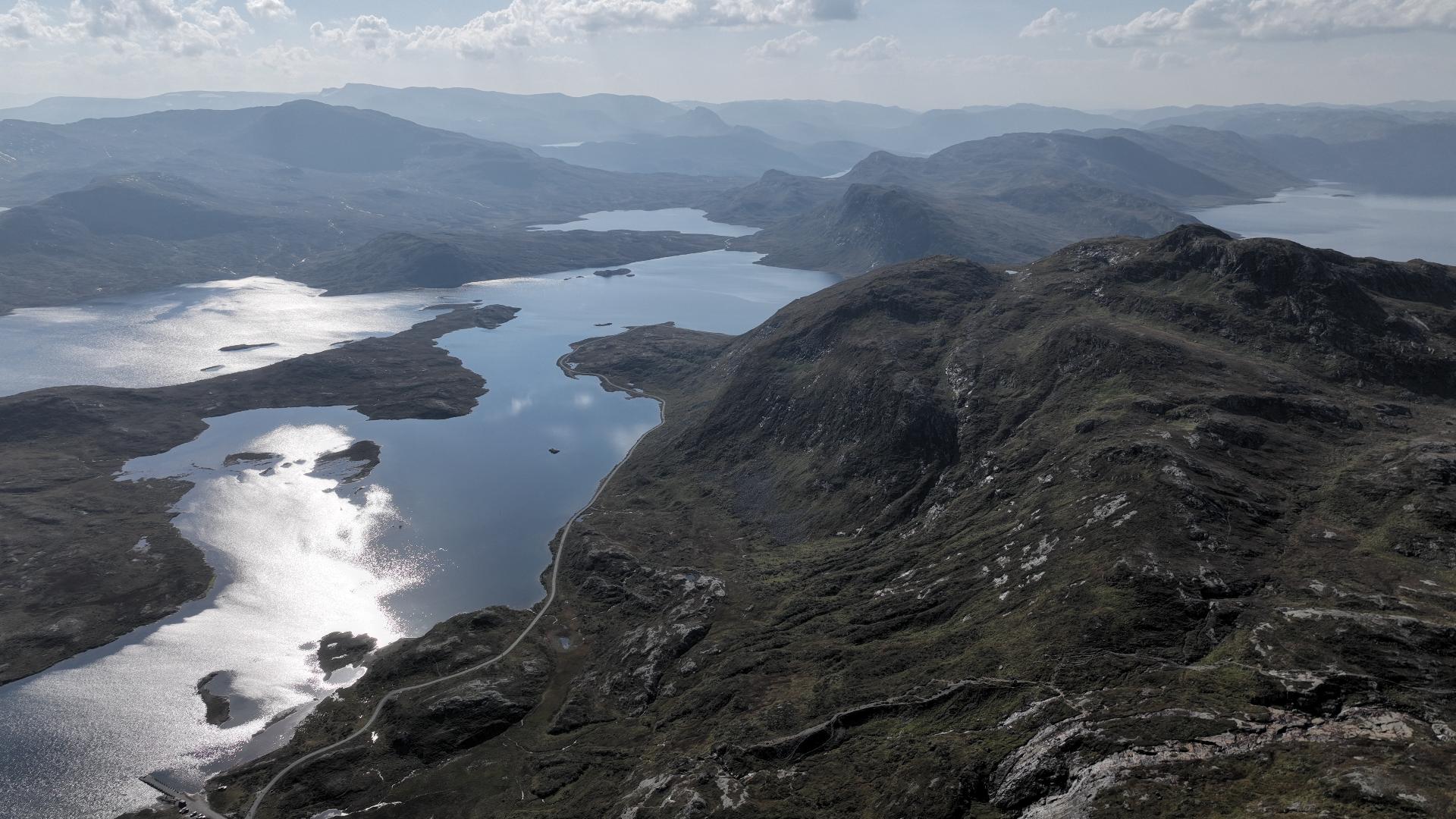
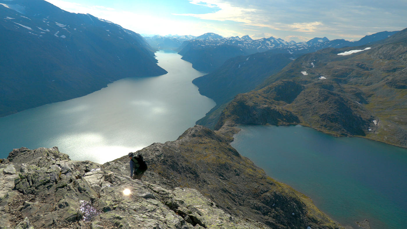
Despite its altitude, Rassletind is among the most accessible 2,000-metre peaks in Norway; County Road 51 (Valdresflye) runs close by, which is why it's popular for both summer hiking and winter skiing. The terrain varies; eastern and western approaches differ in steepness and exposure. Good route-finding matters on the gabbro; scrambling ability and awareness of snow patches or loose rock are essential. The mountain draws experienced walkers looking for a high peak without the commute of more remote summits.
Despite its altitude, Rassletind is among the most accessible 2,000-metre peaks in Norway; County Road 51 (Valdresflye) runs close by, which is why it's popular for both summer hiking and winter skiing. The terrain varies; eastern and western approaches differ in steepness and exposure. Good route-finding matters on the gabbro; scrambling ability and awareness of snow patches or loose rock are essential. The mountain draws experienced walkers looking for a high peak without the commute of more remote summits.