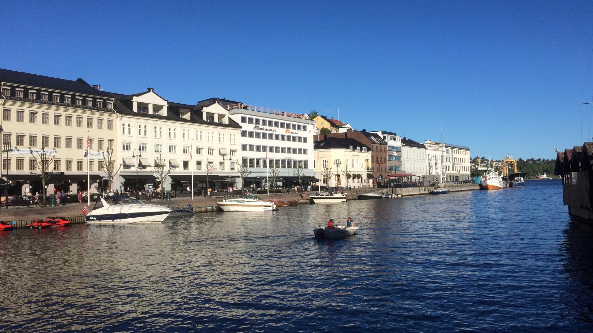
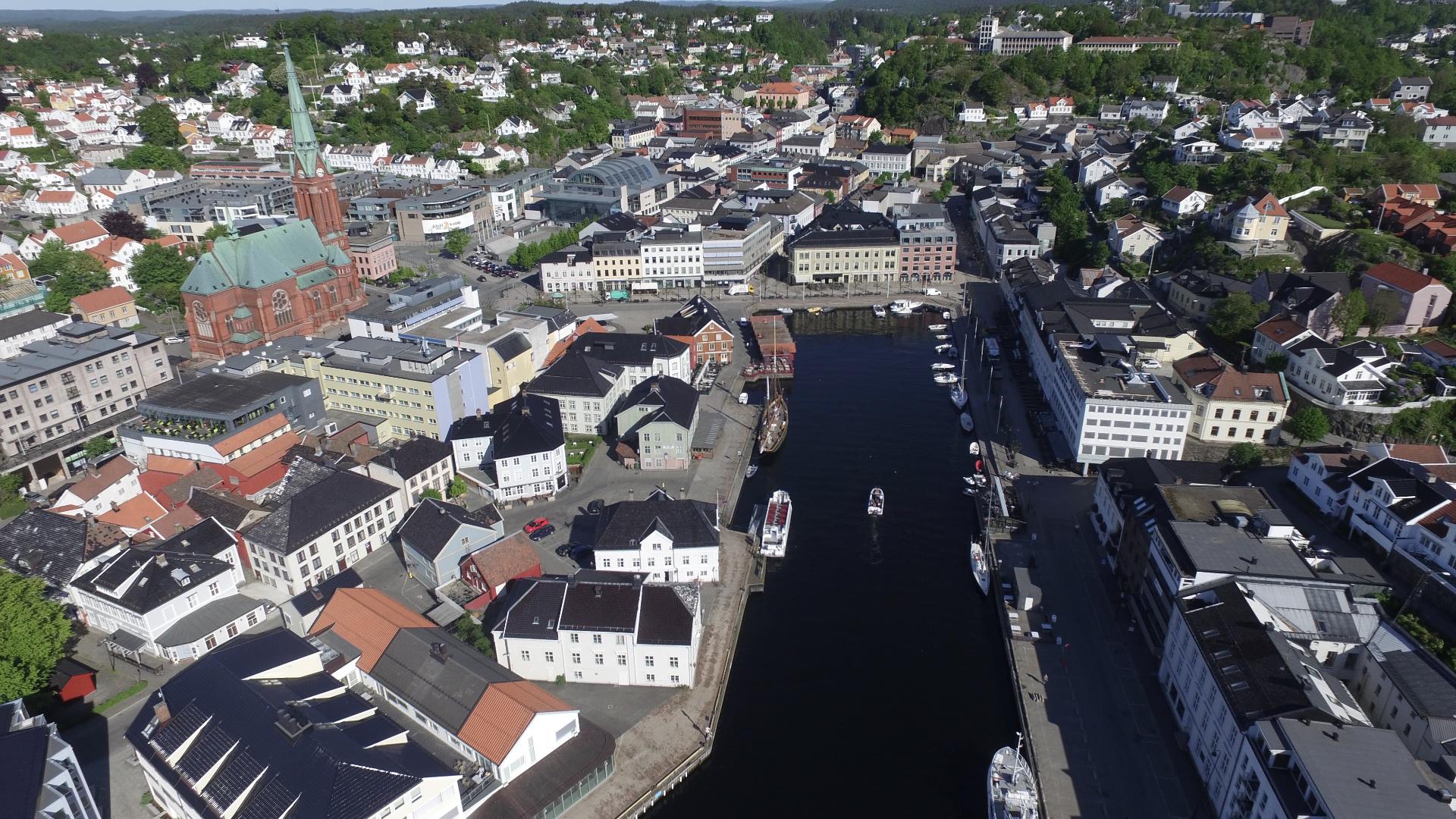
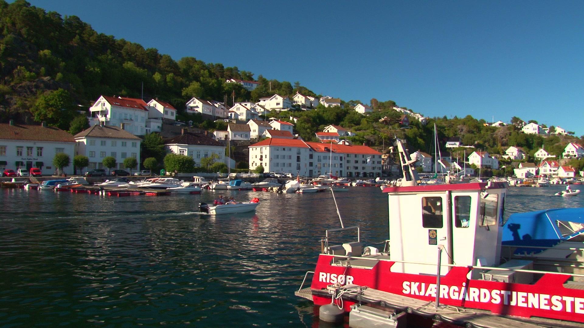
Raet nasjonalpark was established in 2016 and covers 607 square kilometres along the Agder coast, though 90 percent of that area is under water. The park takes its name from the Ra moraine, the same ice-age formation that runs through Vestfold, which here created the beaches, pebble shores, and sandy bays that define the coastline between Grimstad and Arendal.
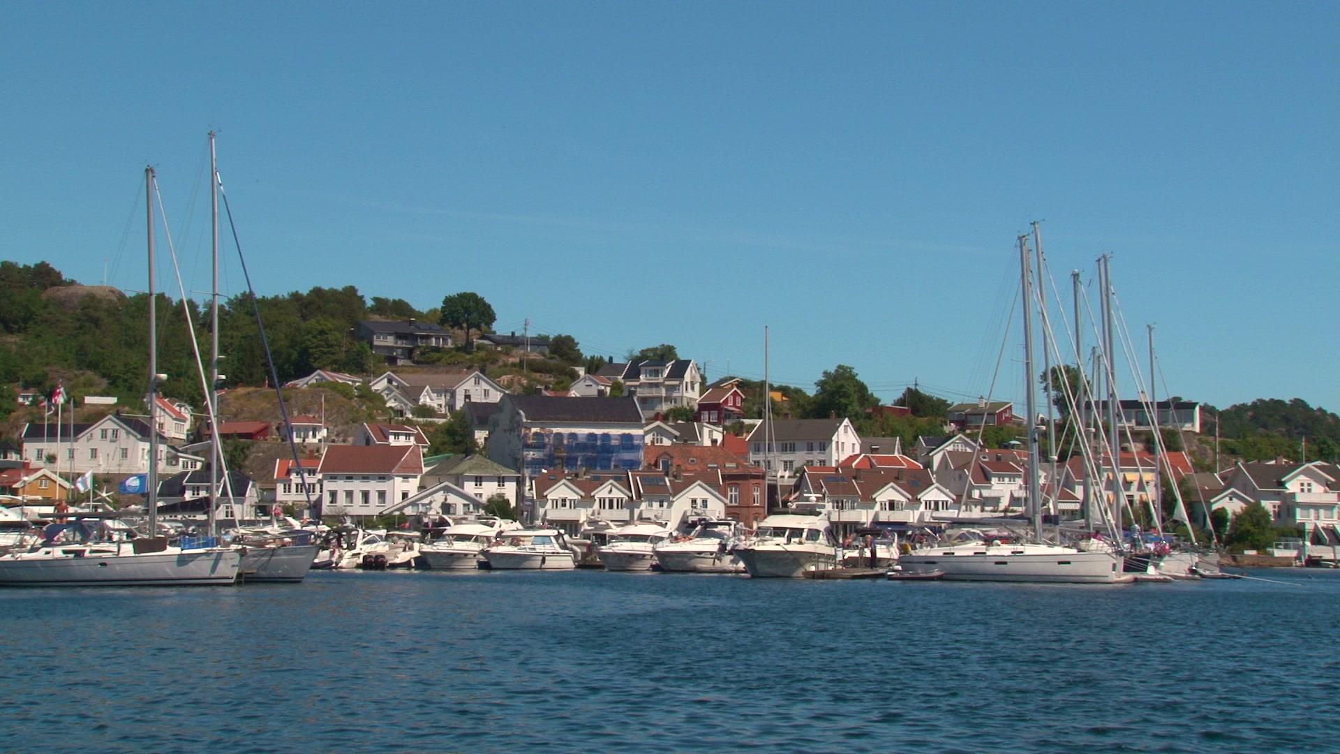
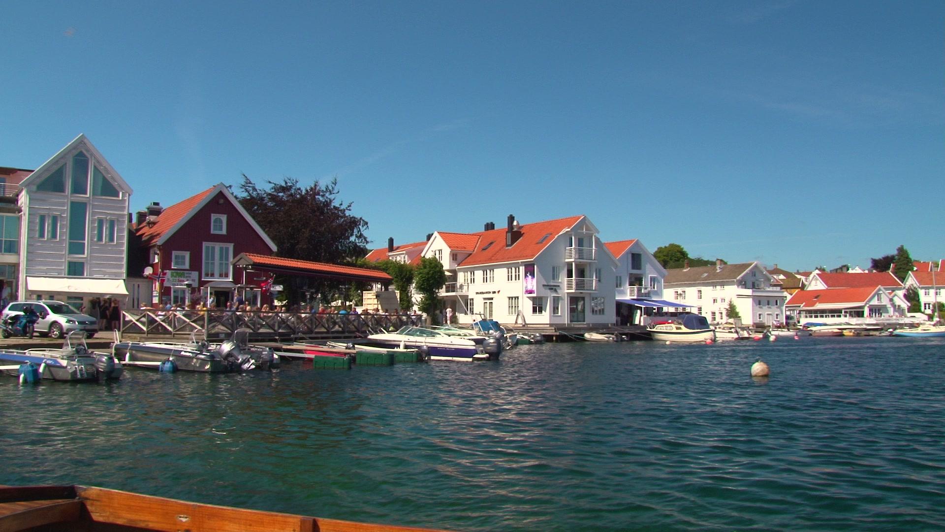
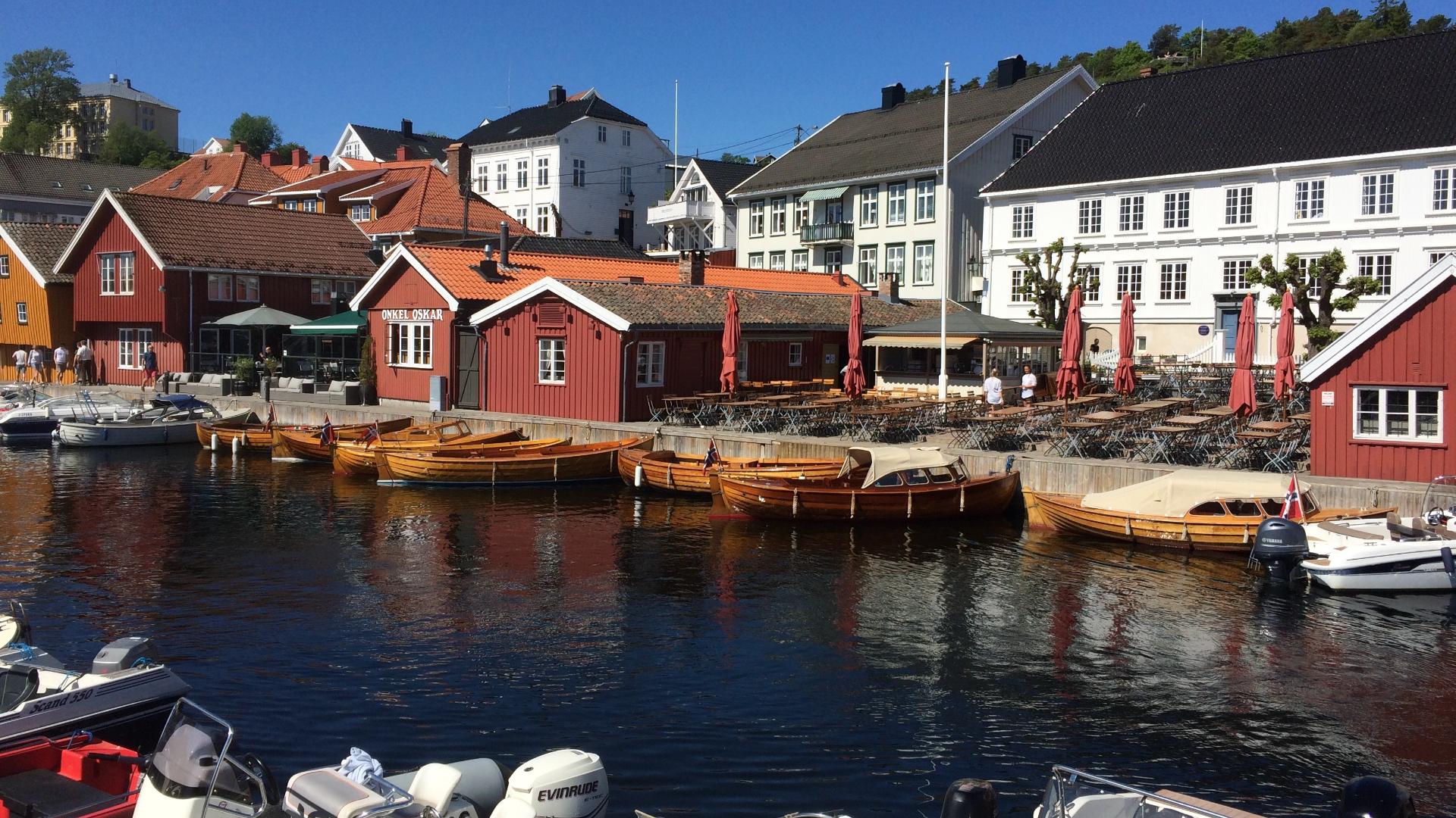
On land, the park protects stretches of coast on Tromøya, Merdø, and Flosterøya, as well as parts of Tvedestrand's outer archipelago. The sandy beach at Hove on Tromøya is one of the best on the south coast. Under the surface, the moraine substrate supports kelp forests and rich marine life. A visitor centre in Arendal provides maps and information. Kayaking, swimming, and snorkelling are the main activities.
On land, the park protects stretches of coast on Tromøya, Merdø, and Flosterøya, as well as parts of Tvedestrand's outer archipelago. The sandy beach at Hove on Tromøya is one of the best on the south coast. Under the surface, the moraine substrate supports kelp forests and rich marine life. A visitor centre in Arendal provides maps and information. Kayaking, swimming, and snorkelling are the main activities.