 Easy
Easy
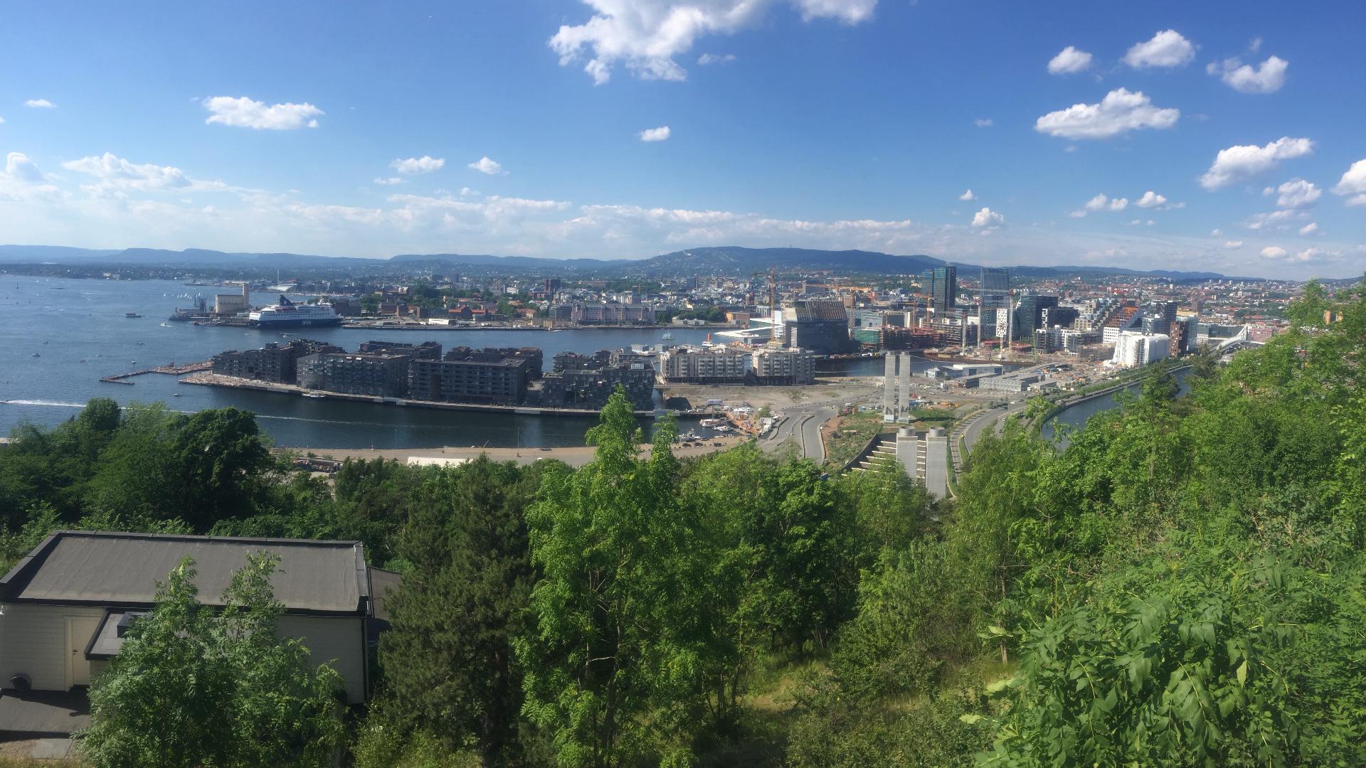
Østmarka is Norway's newest national park, established in November 2023. What makes it unique is its location: unlike most Norwegian national parks, which are in remote mountain areas, this one is right next to Oslo. It is probably the only national park in the world that can be reached by metro. Take line 3 to Skullerud, walk east, and after a few kilometres you are inside a national park.
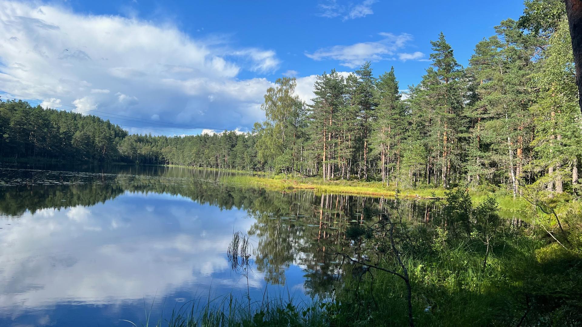
The park covers 54 square kilometres across the municipalities of Oslo, Nordre Follo, Lørenskog, Rælingen and Enebakk. Including surrounding protected areas, roughly 71 square kilometres of forest are now safeguarded. The landscape is a mix of old-growth forest, lakes, mires, ravines and ridges. Beavers, deer, and even wolves and lynx have been spotted in the more remote parts.
The actual Østmarka is much larger than the national park and covers the entire forest area between southeast Oslo and Øyeren, one of Norway's largest lakes. The park boundaries have some quirks: because of the bureaucracy involved in operating infrastructure inside a national park, gaps have been created around roads and power lines, so you may walk in and out of the park several times on a single hike.
Running through the park is Flyktningeruta, the Refugee Route. During the Second World War, this was the path refugees used to escape German-occupied Norway and reach Sweden. The full route runs 120 kilometres from Skullerud to the Swedish border at Skjølabråtan and takes at least five days. The biggest practical problem today is crossing the lake Øyeren, as there is no public ferry service. Along the route, you will find Milorghula, a hiding place used by the Norwegian Resistance to store weapons, explosives and supplies. It was never discovered by the Germans and remained in use until the end of the war.
A good day hike from Skullerud passes through Rundvann, a popular camping lake with year-round fire pits, then Østmarkskapellet, a small chapel in the woods where services are held most Sundays. From there, continue to Trollvann and the old-growth forest around Spinneren, where the national park begins. This loop is roughly 16.5 kilometres and takes about five hours of walking, seven with breaks. The terrain is moderate but includes some steep sections and marshy areas. The hike is best between May and November. In winter, parts of the area are used for cross-country skiing.
Remember that the park is still very new, and not all signage may be in place yet. And as always when hiking in Norway, be prepared for rain.