Leka is a small island at the northern tip of Trøndelag, about 5 hours north of Trondheim. It's not on any major tourist routes, which means the crowds are still manageable.
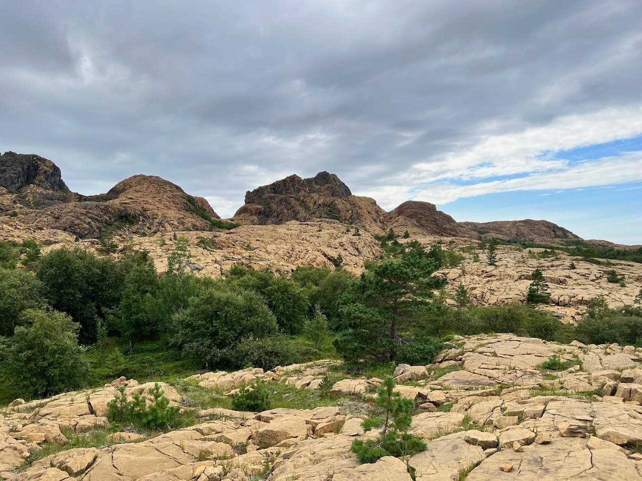
The island has such unique geology that it became Norway's National Geological Monument in 2010. This is the only place in the country where you'll find this particular mix of rock formations.
About 500 million years ago, when an ancient continent broke apart and created the Iapetus Ocean, massive geological forces were at work. The subsequent collision of continents formed mountains that may have rivalled the Himalayas.
Then, 60 million years ago, when the Atlantic Ocean opened up, parts of the American plate were left behind here. All this mixing and moving of different rock types created something truly unique.
The most striking feature is near Støypet, where you'll see large reddish rock formations that look more like the western United States than coastal Norway. At sunset, the effect is quite remarkable.
The only way to reach Leka is by ferry from Sør Gutvika. The ferry runs every 60 to 90 minutes, but it's small, so arrive early during high season.
The island is small enough to explore by bike. You can rent one at the ferry terminal. There's a ring road that takes you around the entire island.
If you're interested in geology, this is definitely worth the detour. There are several hiking trails, particularly around the rock formations.
The island also offers kayaking routes and has some fascinating historical sites, including Norway's first discovered cave paintings.
Be aware that accommodation and dining options are limited since Leka isn't on most tourists' radar. If you're staying overnight, plan ahead. The easiest access is when travelling the Kystriksveien, Road 17. Look for signs near Kjelleidet camping and follow roads 802 and 771 to the ferry terminal.