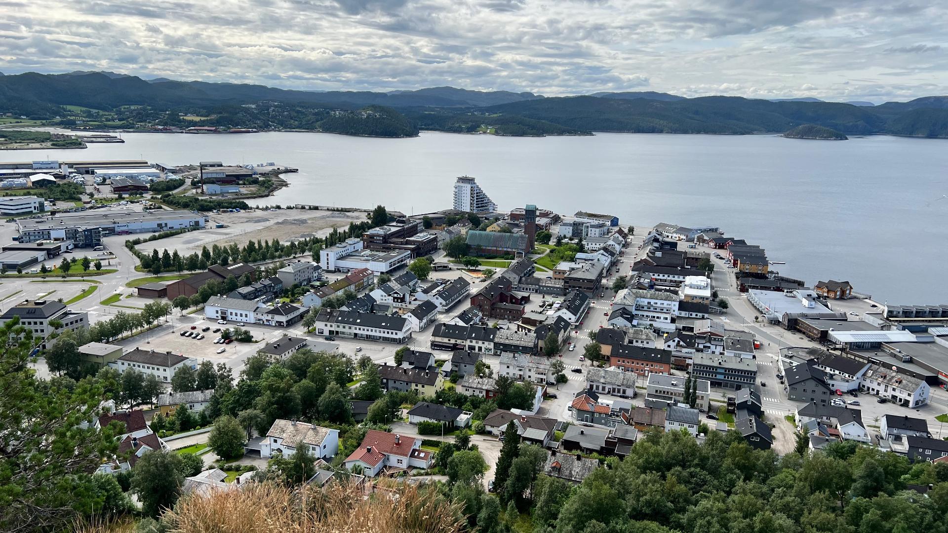
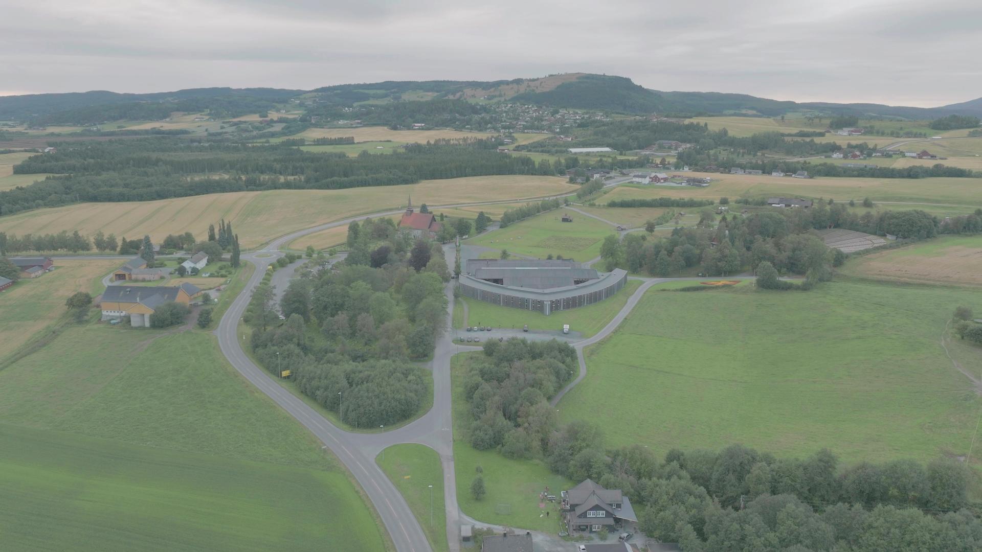
Grong sits at the confluence of two important salmon rivers: the Sanddøla flows into the Namsen right in the center of town. The Namsen, stretching 228 kilometres from the mountains of Børgefjell to the Namsenfjorden, is often called the Queen of Norway's salmon rivers and is considered one of the finest in Europe. Fishing here follows old traditions; harling, where a skilled rower guides a boat downstream while the angler trails two or three rods, has been practiced on the Namsen for generations. Grong is also a railway crossroads. The station sits on the Nordlandsbanen, and until 2002 it was the junction for the Namsosbanen, a 51-kilometre branch line to the coastal town of Namsos. When the Namsosbanen opened in 1933, it made Namsos the northernmost Norwegian port with a rail link to the south. Passenger services ended in 1977 and freight followed in 2002; the tracks still exist but carry no traffic. Just outside town, the Væremsfeltet archaeological site preserves grave mounds, ring-shaped building foundations and cooking pits from the Iron Age, evidence of settlement in this valley stretching back well over a thousand years. In South Sami, Grong is called Kråangke, a reminder that the Namdalen valley has long been a meeting point between Norwegian farming communities and Sami reindeer herding culture.
🏘️ Town
Trøndelag
Valley
Grong
Open in map
60 minutes
Useful Links
Get the free Xplore Norway app
Hear every place narrated automatically as you drive, with offline maps for all of Norway.
- Automatic GPS audio guide
- Offline maps for all of Norway
- Free to download
1520 places across Norway