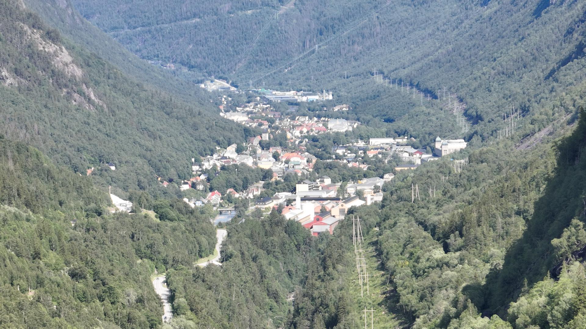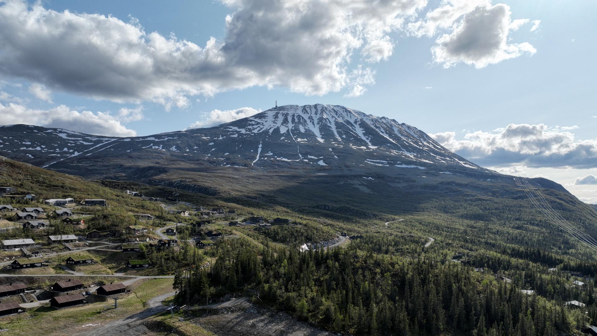
At 1,883 metres, Gaustatoppen is the highest peak in Telemark and one of the most iconic mountains in Norway. It stands a couple of hundred metres above everything around it, made of extremely hard granite that eroded less than its neighbours. On a clear day, you can see roughly one sixth of Norway's total land area from the summit. On exceptional days, the view reaches the Swedish border, about 150 kilometres to the east.
The most popular hike starts at the Stavsro car park. You can see the summit from there, and with this many people on the trail, just follow the flow. It goes constantly up but is never truly steep. Most of the path runs on bare rock. Count on about two hours to the DNT tourist cabin near the top and an hour and a half to come down. With breaks, photos, and waffles at the cabin, budget five to six hours total. Other routes exist but they are all longer and steeper, better suited for experienced hikers.
The actual summit is a short walk past the antenna station and viewing platform, over rocky terrain. It is easy to miss if you stop at the cabin.
Weather on Gaustatoppen is extremely variable and local. The summit can be buried in cloud while the valley below has blue sky. Snow is possible even in mid-June. If you are going for the view, check the webcam before you start. A foggy summit is a long walk for nothing.
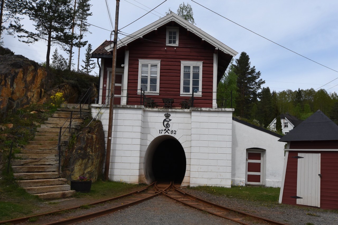
There is also a way up without hiking. The Gaustabanen funicular runs inside the mountain and takes you to just below the summit in about 20 minutes. See the separate entry for that.
The most popular hike starts at the Stavsro car park. You can see the summit from there, and with this many people on the trail, just follow the flow. It goes constantly up but is never truly steep. Most of the path runs on bare rock. Count on about two hours to the DNT tourist cabin near the top and an hour and a half to come down. With breaks, photos, and waffles at the cabin, budget five to six hours total. Other routes exist but they are all longer and steeper, better suited for experienced hikers.
The actual summit is a short walk past the antenna station and viewing platform, over rocky terrain. It is easy to miss if you stop at the cabin.
Weather on Gaustatoppen is extremely variable and local. The summit can be buried in cloud while the valley below has blue sky. Snow is possible even in mid-June. If you are going for the view, check the webcam before you start. A foggy summit is a long walk for nothing.
There is also a way up without hiking. The Gaustabanen funicular runs inside the mountain and takes you to just below the summit in about 20 minutes. See the separate entry for that.